• After witnessing the continued decrease of involvement in the SpotterNetwork staff in serving SN members with troubleshooting issues recently, I have unilaterally decided to terminate the relationship between SpotterNetwork's support and Stormtrack. I have witnessed multiple users unable to receive support weeks after initiating help threads on the forum. I find this lack of response from SpotterNetwork officials disappointing and a failure to hold up their end of the agreement that was made years ago, before I took over management of this site. In my opinion, having Stormtrack users sit and wait for so long to receive help on SpotterNetwork issues on the Stormtrack forums reflects poorly not only on SpotterNetwork, but on Stormtrack and (by association) me as well. Since the issue has not been satisfactorily addressed, I no longer wish for the Stormtrack forum to be associated with SpotterNetwork.

    I apologize to those who continue to have issues with the service and continue to see their issues left unaddressed. Please understand that the connection between ST and SN was put in place long before I had any say over it. But now that I am the "captain of this ship," it is within my right (nay, duty) to make adjustments as I see necessary. Ending this relationship is such an adjustment.

    For those who continue to need help, I recommend navigating a web browswer to SpotterNetwork's About page, and seeking the individuals listed on that page for all further inquiries about SpotterNetwork.

    From this moment forward, the SpotterNetwork sub-forum has been hidden/deleted and there will be no assurance that any SpotterNetwork issues brought up in any of Stormtrack's other sub-forums will be addressed. Do not rely on Stormtrack for help with SpotterNetwork issues.

    Sincerely, Jeff D.

Aerial Thunderstorm/Convective Research & Chasing

Andy Lawrence

Enthusiast
Joined
Nov 28, 2023
Messages
3
Location
Nashville, TN
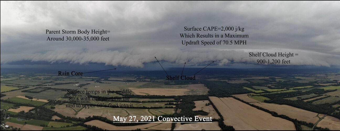
I was wondering if anyone has ever explored aerial storm chasing and used aerial images to study storms from above.

Showers and thunderstorms are giant waterfalls in the sky when viewed from the air, a lot can be taken away and learned especially when Gibson ridge 3D volumetric images are combined with the aerials, you can find storm height and the gustfront height and just use them as a fun case study tool like we have done below.
 

Attachments

  • IMG_1777.jpeg
    IMG_1777.jpeg
    187.9 KB · Views: 1
I’ve put my drone up several times times just for fun. My goal really is, despite the challenges, to fly it into a tornado. I’m not trying to learn anything scientifically, just as a challenge, which I thought might be easier than it is. I’ve lost one drone in the process.
A couple things I’ve learned is with a low based storm you don’t gain a whole lot visually before losing all sight. Another is that unless it’s a relatively slow moving storm, you’re screwed unless you can launch from a position more or less in front of the storms path.
One thing that I’ve found out is you can put the drone up and get great looks at a storm when trees, lack of roads or terrain don’t let you see. It’s frustrating when a storm looks good on radar and you can’t see it. A drone solves that.
 
Small drone will likely be flung around haphazardly.

A couple of suggestions.

Hobby rocket enthusiasts are looking at ways to de-spin footage

So they might help you.

Doswell’s footage of Pampa showed cables hanging vertically while entrained in the circulation.

This might allow a drone to have stability if a helium balloon is on a tether above the drone and one with a heavy gas is beneath it.

Remember, some high altitude balloons can endure high speeds aloft.

Now while this may also be a lightning hazard (use robot arm to deploy)—kites have been used as camera platforms:


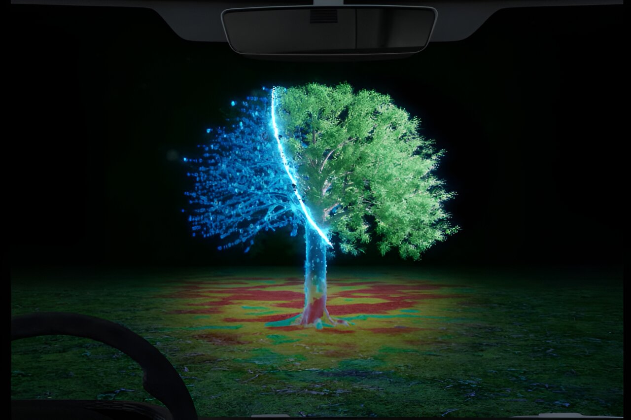
In earlier posts, I made mention of camera systems designed to peer through darkness and rain…like this:


Having smoke bombs along a project mogul type balloon chain with go-pros along its length may allow footage actually useful to scientists.
 
Back
Top