After witnessing the continued decrease of involvement in the SpotterNetwork staff in serving SN members with troubleshooting issues recently, I have unilaterally decided to terminate the relationship between SpotterNetwork's support and Stormtrack. I have witnessed multiple users unable to receive support weeks after initiating help threads on the forum. I find this lack of response from SpotterNetwork officials disappointing and a failure to hold up their end of the agreement that was made years ago, before I took over management of this site. In my opinion, having Stormtrack users sit and wait for so long to receive help on SpotterNetwork issues on the Stormtrack forums reflects poorly not only on SpotterNetwork, but on Stormtrack and (by association) me as well. Since the issue has not been satisfactorily addressed, I no longer wish for the Stormtrack forum to be associated with SpotterNetwork.
I apologize to those who continue to have issues with the service and continue to see their issues left unaddressed. Please understand that the connection between ST and SN was put in place long before I had any say over it. But now that I am the "captain of this ship," it is within my right (nay, duty) to make adjustments as I see necessary. Ending this relationship is such an adjustment.
For those who continue to need help, I recommend navigating a web browswer to SpotterNetwork's About page, and seeking the individuals listed on that page for all further inquiries about SpotterNetwork.
From this moment forward, the SpotterNetwork sub-forum has been hidden/deleted and there will be no assurance that any SpotterNetwork issues brought up in any of Stormtrack's other sub-forums will be addressed. Do not rely on Stormtrack for help with SpotterNetwork issues.
Sincerely,
Jeff D.
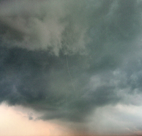
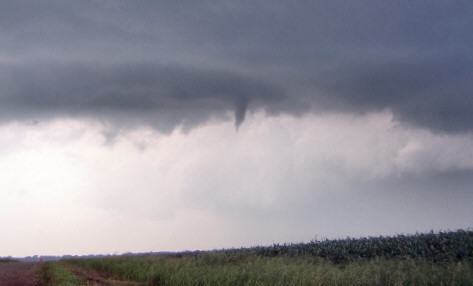


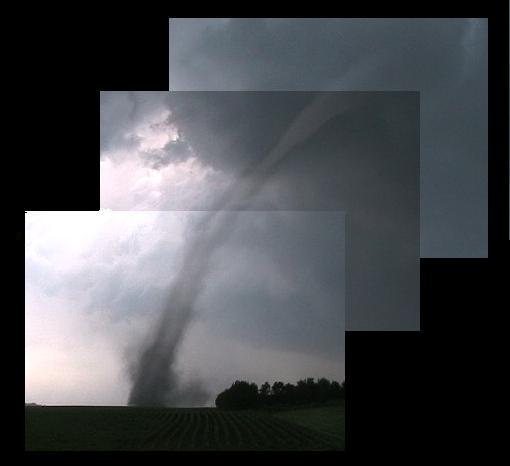
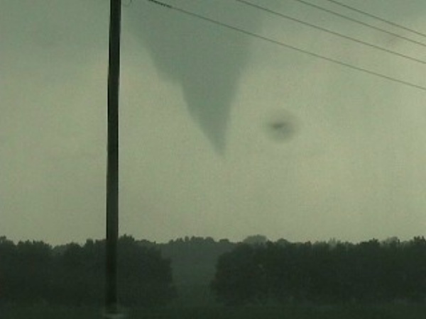


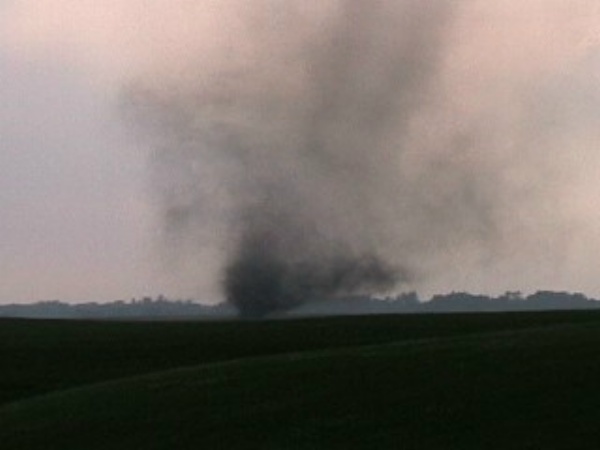

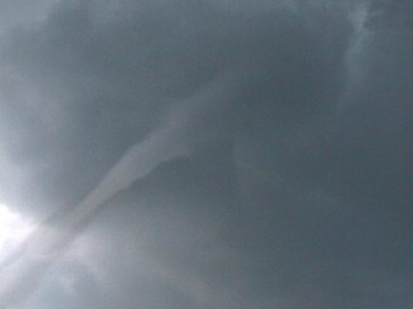


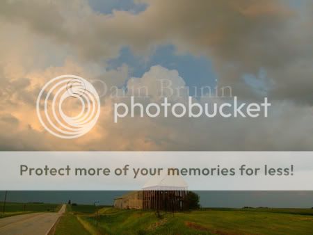
") Picked out a couple from Texas and Iowa. We were all sitting (under the meso) watching outstanding vertical motion and rotation, but nothing was coming down yet. Group wise we'd hop a couple miles northeast then stop again. We were looking up at the meso/wall cloud when, lo and behold, drives past the infamous Tornado Intercept Vehicle. I thought, if he's here, I must be in the right place. Kept hopping northeast, when, out of the blue, was the nicest small funnel with ground circulation I've seen. Outstanding. After tracking that and it going back up, I decided it was about time to head home. Stopped at Burger King in Windom and heard tornado warnings for Jackson County. I thought "heck, that's on the way home" so chased those, but got nothing. End of day.
Picked out a couple from Texas and Iowa. We were all sitting (under the meso) watching outstanding vertical motion and rotation, but nothing was coming down yet. Group wise we'd hop a couple miles northeast then stop again. We were looking up at the meso/wall cloud when, lo and behold, drives past the infamous Tornado Intercept Vehicle. I thought, if he's here, I must be in the right place. Kept hopping northeast, when, out of the blue, was the nicest small funnel with ground circulation I've seen. Outstanding. After tracking that and it going back up, I decided it was about time to head home. Stopped at Burger King in Windom and heard tornado warnings for Jackson County. I thought "heck, that's on the way home" so chased those, but got nothing. End of day.