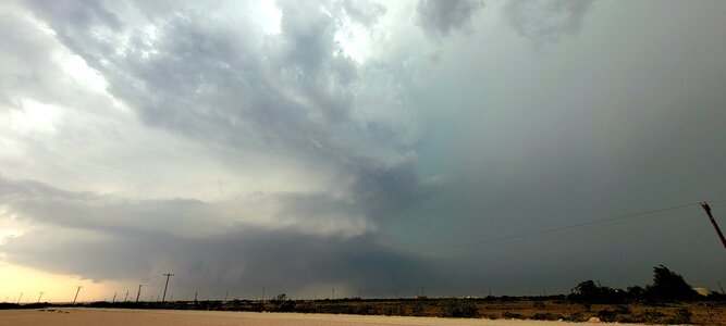
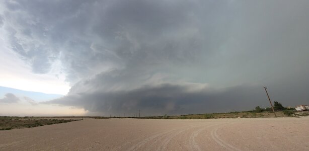
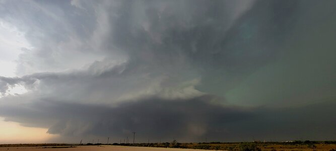
I’ll post in Reports when I get a chance, but I repositioned south for the Midland storm once it became clear that cells were struggling in my original target area and the OFB had continued progressing south/southwest. This required an approach through the eastern fringes of the FFD and a nightmare trip through Midland rush hour + storm traffic. Got very similar pictures to
@Jason N but, as usual, managed to miss both tornados - the first one just because we were still working our way through the forward flank, the second because of an inexplicably stupid decision to go east instead of south. Great structure though, including LP at the end, some of the best I have seen in recent years.