JamesCaruso
Staff member
Finally catching up on some chase reports; it was hard to find time during my chase trip, trying to get remote work done whenever I wasn't chasing or doing repositioning drives...
Began the day in Shamrock, having (regretfully) blown off Iowa the day before. I can't even remember my exact target at this point; it was the dryline/front intersection, I think around Robert Lee. For some reason I find this whole region south of Abilene/Sweetwater to be depressing to chase in; it may have something to do with an unpleasant chase experience in this area way back in 2005. But I digress...
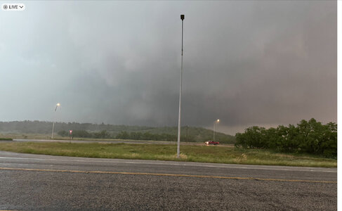
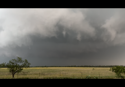
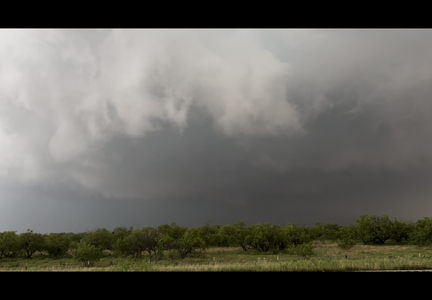
Before we arrived, a storm had already initiated. We still had a way to go, and ended up intercepting this HP storm near Coleman. I can't recall the E-W road we were on, but the meso was just north of the road and we were in the bear's cage as the rain curtains circled around south of us. Rotation was visible in the meso but it did not produce. We soon lost visibility of it as it wrapped up further and drifted a bit north of due east.
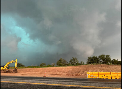
The storm soon became outflow-dominant, so we did the usual cat-and-mouse thing: drive east, let it catch up, repeat... The storm was visibly surging toward us. We drove through a couple of towns, and it felt eerie with very low light at 4pm, leaves being blown off trees, looking down side streets and seeing the rain sweeping across the road.
I failed to maintain radar awareness of other storms in the region, and it was only upon noticing an SPC MSD appear on RadarScope that my attention was drawn to the TOR-warned storm to the west. (I saved a loop of this storm - it was amazing to see it ingest the outflow boundary from the storm we were on). We bailed on our storm at Brownwood and cut back to the west, although I had to stop because the rain reduced visibility to zero; it was like being in a car wash.
At some point it became futile trying to catch up to the western storm. We thought about going after another cell just north of Ballinger, but it died in the worked-over air, so we bailed on that too. We went to stay in Childress for the night, arriving at around 9:30pm.
