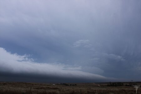
Dan Robinson
EF5
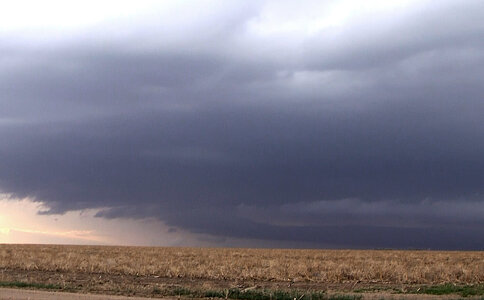
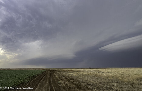
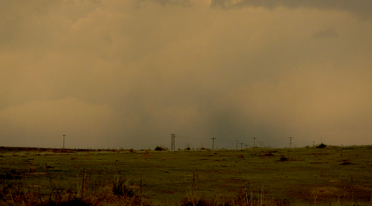
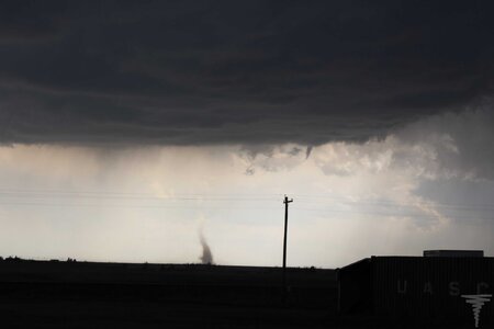
I slept late, grabbed a coffee and departed Salina after noon. My target was northwestern Kansas where storms would interact with a stationary frontal boundary, but I was also watching for development down the dryline to the south. As I approached Colby, agitated cumulus developed into a thunderstorm south of Goodland, so I continued west to it. This storm reached the frontal boundary about 10 miles north of town, at which point it began exhibiting signs of a mesocyclone. An RFD clear slot cut in a couple of cycles, one producing this funnel:
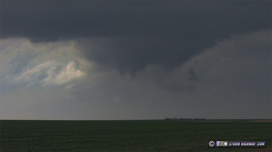
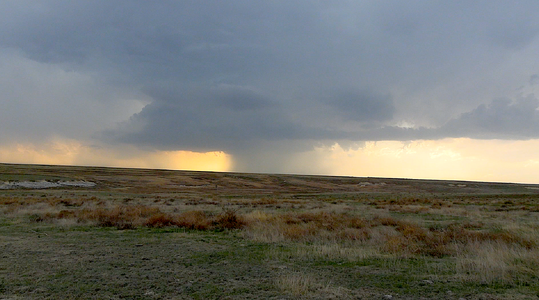
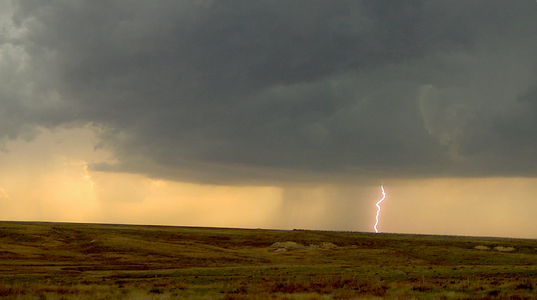
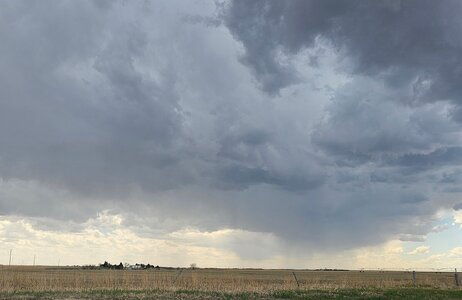
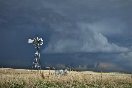
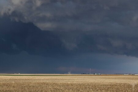
I did not see the rope tornado others documented around this time. After the storm was completely across the boundary, its structure diminished considerably. So, I turned my attention to new storms farther south. Some were already across the boundary south of Oakley, and more were traversing it - but none were developing good low-level mesos. One was producing some decent cloud-to-ground lightning here, so I decided to spend some time trying to catch a few. None cooperated for my camera.
At this point, radar showed the boundary was being reinforced by storm outflow and actually sinking southward as a cold front. This pretty well spelled the end to any real tornado potential for the day. My oly play left was to get away from the boundary, down to the southernmost dryline storm near Syracuse. At Scott City, a new storm went up right over me that looked like it was in just as good of a position as the one near Syracuse. I decided to follow this one northeast, but it was high-based and never had a good look in its low levels.
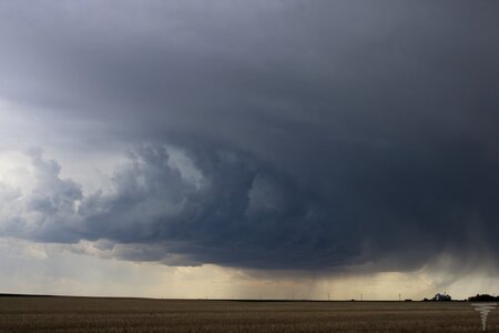
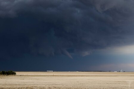
I had just reached I-70 at Grainfield when a new storm went up just south of the old one. This one intensified rapidly, with a couplet developing south of the interstate. The storm could not wrap up at ground level, as it was already north of the boundary with cold, stable air at the surface. It was also getting dark, and the grungy environment north of the boundary was making it difficult to see much of anything structure-wise. After this storm moved north of the highway, I called the chase and started heading east. I once again stopped in Salina for the night. I could have gone farther, but I wasn't sure which road I would need to take in the morning (either Highway 81 north or I-70 east).

