John Farley
Supporter
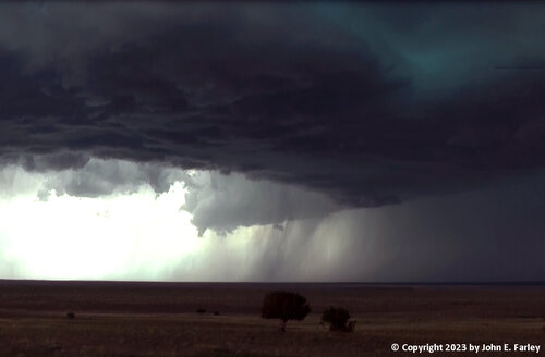
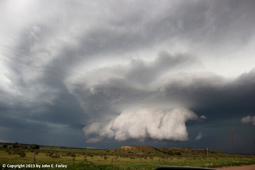
I intercepted two supercells in southeast Colorado. Both received multiple tornado warnings. Although neither produced a tornado, both had spectacular storm structure - one of my better structure days ever.
Here are a couple pictures of the first one, which moved from west of Timpas to near Toonerville before being absorbed by a surging squall line:
And here are a couple from the second supercell, which formed on the tail end of the aforementioned squall line, quickly separated from it, and moved due east toward and over Springfield, CO:
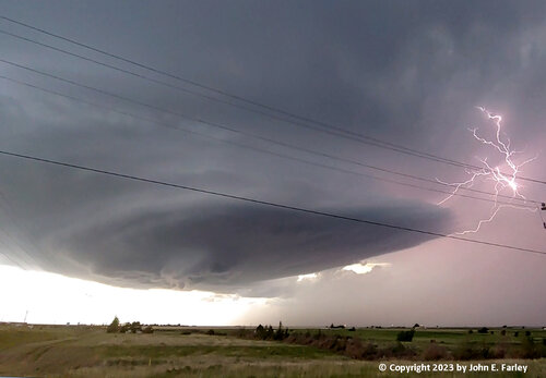
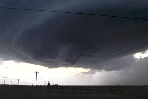
When this storm moved over Springfield, it produced up to 4-inch hail.
If you are interested, you can read my full, detailed report, with lots more pictures at:
johnefarley.com/chase61623.htm
Here are a couple pictures of the first one, which moved from west of Timpas to near Toonerville before being absorbed by a surging squall line:


And here are a couple from the second supercell, which formed on the tail end of the aforementioned squall line, quickly separated from it, and moved due east toward and over Springfield, CO:


When this storm moved over Springfield, it produced up to 4-inch hail.
If you are interested, you can read my full, detailed report, with lots more pictures at:
johnefarley.com/chase61623.htm

