Mike Smith
EF5
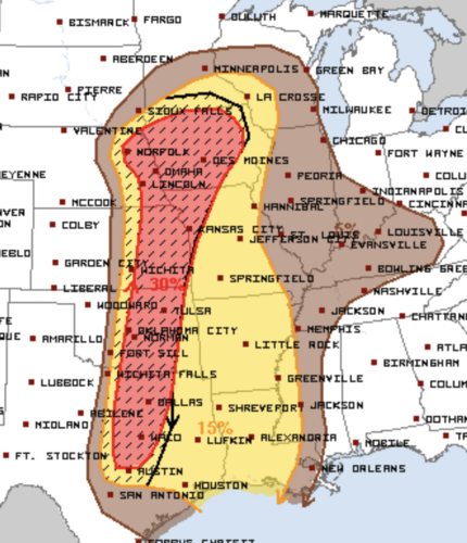
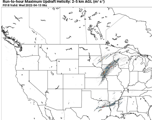
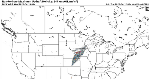
Here's the odd thing about SPC's 1630Z forecast. They say,
"The thermodynamic/kinematic environment across
OK/southern KS will be supportive of supercells if convection can
develop. While this potential is noted, uncertainty is too high to
warrant 10% tornado probabilities at this time."
But, the hail outlook tells a completely different story with >2" hail forecasted even west of Wichita. We aren't going to see >2" hail without supercells. So, this seems like a big hedge by SPC.
