Ethan Schisler
EF5
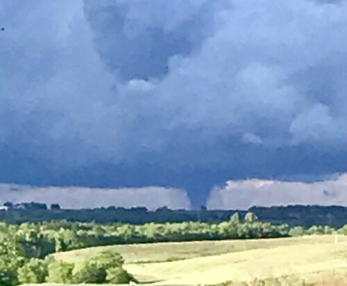
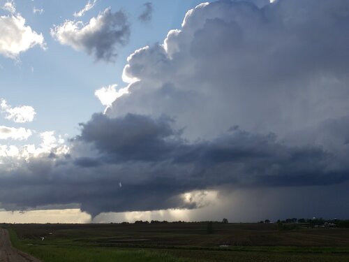
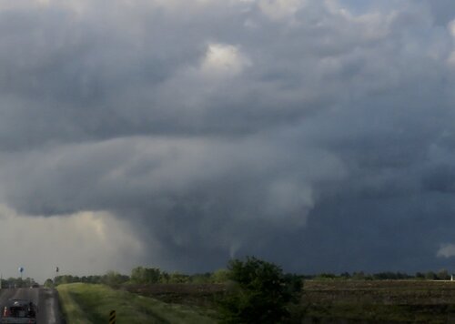
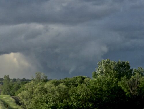
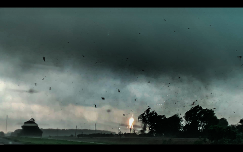
Originally was on the way home from our chase in SW Oklahoma when we approached a tornado warned QLCS northeast of Springfield, MO. Near the town of Marshfield, MO we came out of the gust front region to a tornado tearing up the field about 100 yards away. It took me by such surprise that I missed the strong drillbit phase of the first tornado, but caught a photo of it tearing apart trees and got great video:
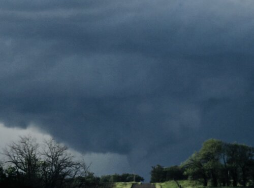
A new tornado formed from a separate area of interest off to my north and become a strong drillbit like vortex. Whiile these were QLCS tornadoes, they acted like aupercellular tornadoes with their rigorous motion and high visibility.
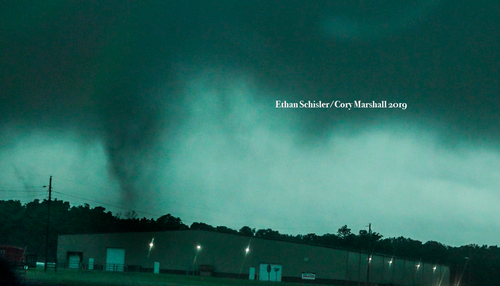
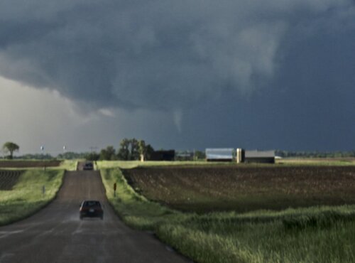
Another vortex spun up in front of me further down the road crossing the interstate about a mile ahead of me.
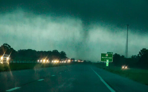
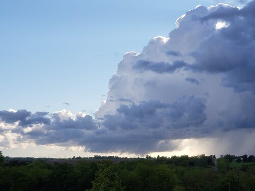
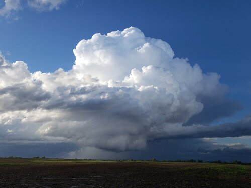
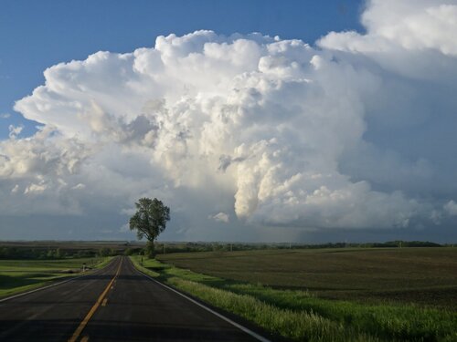
Another possible area of interest became evident to my north with tornadic motion, I'm not sure if this was a tornado or not, but these tornadoes were carousing around it like they were satellite tornadoes. The below image was taken before the tornadoes developed, the right edge had strong vertical motion.
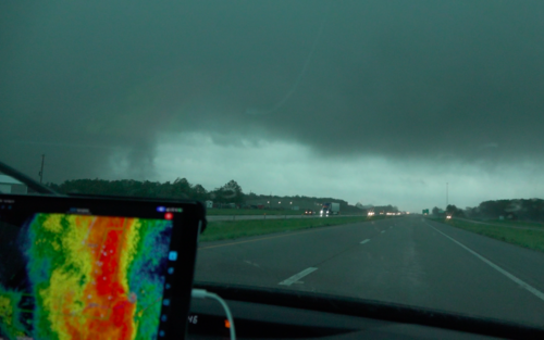
I continued eastward tracking the line of storms, it appeared elevated and outflow dominant until it got to the St Louis area. The terrain became horrible and I couldn't keep up with the storm. I got a visual of the mesocyclone about 3 miles southeast of Augusta, MO looking northwest before the terrain took a turn for the worst and trees fell across the road with 60 mph RFD.
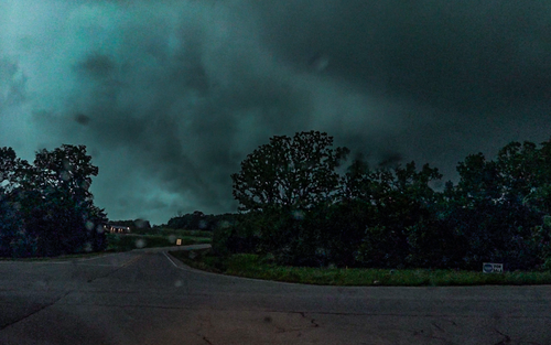
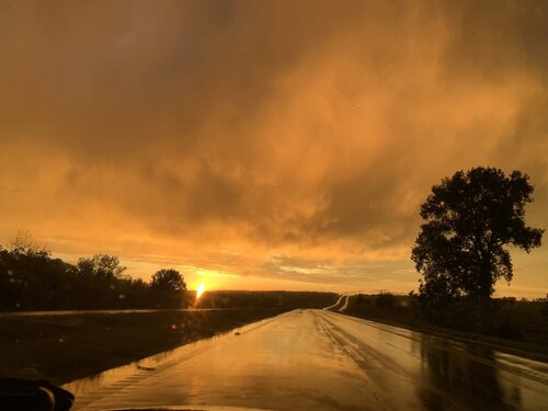
That was about the best view of the likely significant tornado that I could get. Can't really say that I saw it as it was mostly rainwrapped. Still with a few tornadoes on a day I didn't expect to chase and to top it off a top tier sunset near Bowling Green, MO.....you won't catch me complaining


A new tornado formed from a separate area of interest off to my north and become a strong drillbit like vortex. Whiile these were QLCS tornadoes, they acted like aupercellular tornadoes with their rigorous motion and high visibility.

Another vortex spun up in front of me further down the road crossing the interstate about a mile ahead of me.

Another possible area of interest became evident to my north with tornadic motion, I'm not sure if this was a tornado or not, but these tornadoes were carousing around it like they were satellite tornadoes. The below image was taken before the tornadoes developed, the right edge had strong vertical motion.

I continued eastward tracking the line of storms, it appeared elevated and outflow dominant until it got to the St Louis area. The terrain became horrible and I couldn't keep up with the storm. I got a visual of the mesocyclone about 3 miles southeast of Augusta, MO looking northwest before the terrain took a turn for the worst and trees fell across the road with 60 mph RFD.

That was about the best view of the likely significant tornado that I could get. Can't really say that I saw it as it was mostly rainwrapped. Still with a few tornadoes on a day I didn't expect to chase and to top it off a top tier sunset near Bowling Green, MO.....you won't catch me complaining
