Good day all,
Sorry for the late post, but here is my chase account for this day (June 12). Unfortunately I got on the northern WY storms first, catching the end of the last tornado later in W Nebraska from the southern storm. Details are below...
Summary: June 11 and 12 were the first travel and chase days, respectively, with the 12th being a major setup (with tornadoes intercepted) in the lee of the Rockies in the Nebraska, Wyoming, and South Dakota tri-state areas. I left Chicago early on June 11, heading out via I-88 and I-39 west and northward out of town and into Wisconsin. I took I-90 out of Madison, and headed west passing some marginally severe storms that day (SPC had an enhanced-risk over northern Wisconsin but it's difficult to chase there), and across southern Minnesota, reaching Sioux Falls, South Dakota by late afternoon, spending the night there. The next day, June 12, I continued westward on I-90, targeting a region anywhere from eastern Wyoming to NW Nebraska and SW SD. The SPC would eventually have a moderate risk, with 15% tornado (hatched for significant), 30% wind, and 45% hail (hatched) over an area in east-central to SE Wyoming as per their 1630z outlook. I continued to Murdo on I-90, then south on Highway 83 to 18 west to near Pine Ridge, then 87 south to Highway 20, taking that west into Wyoming near Lusk. The SPC issued MCD 995 and subsequent PDS (particularly dangerous situation) tornado watch box 317 for the area, valid until 8 PM MDT (9 PM CDT). I waited in Lusk and targeted the first tornadic supercell via Highway 85 south near Fort Laramie. After that, I took Highway 26 out of Torrington to SR 71 south out of Scottsbluff in Nebraska, ultimately intercepting another southern supercell and the last of many of its tornadoes near Harrisburg. I wrapped up the chase near dark by SR 88 near Bridgeport, meeting a few chasers there (including Charles Edwards). For the night, I headed southeast along Highway 26 to Ogallala, then I-80 east into North Platte, spending the night there.
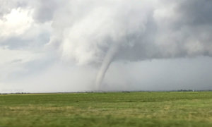
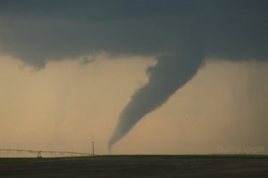
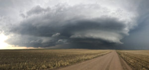
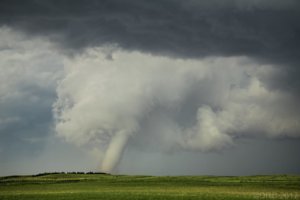
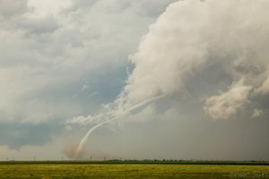
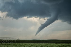
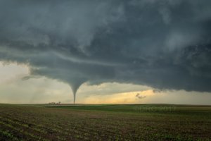
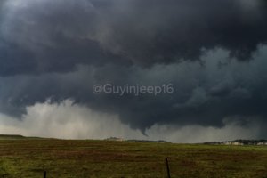
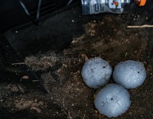
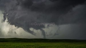
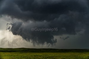
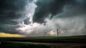
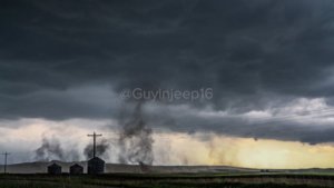
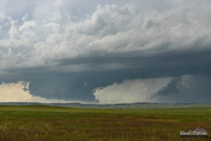
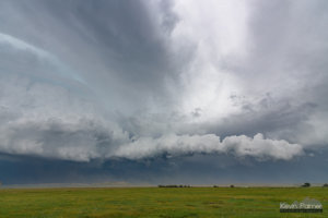
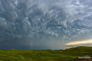
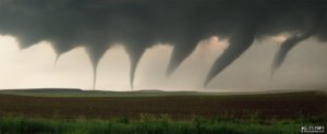
1). June 12, 4:00 PM - Interception, indirect penetration, and observation of an extremely severe and tornadic thunderstorm in Goshen County, Wyoming near Fort Laramie, along Highways 26 and 85. The storm was a classic to HP cyclic supercell storm. A large rotating wall cloud and striking visual appearance was observed with this supercell, along with a few tornadoes (one a significant stove-pipe type) observed west of Highway 85. The tornadoes were not highly visible. The storm also contained grapefruit sized hail, frequent lightning, heavy rains, and 60 MPH winds. The core was not directly penetrated, and hail to golfball sized was encountered near Fort Laramie. Little damage was noted as the storm remained over open country. Conditions causing the storm were upslope wind flow, a low pressure area, surface heating, and an upper trough. A 2016 Jeep Wrangler was used to chase the storms. Documentation was digital stills and HD video. A PDS (particularly dangerous situation) tornado watch was also in effect for the area until 8 PM MDT (9 PM CDT).
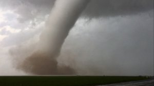
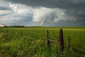
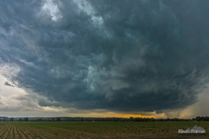
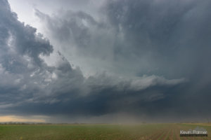
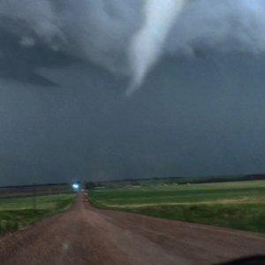
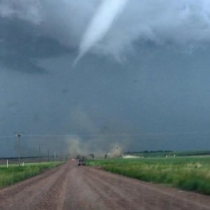
2). June 12, 6:30 PM - Interception, indirect penetration, and observation of an extremely severe and tornadic thunderstorm in Banner County, Nebraska near Harrisburg, along SR 71 south and SR 88 east. The storm was a cyclic supercell storm that had a long history of producing significant tornadoes (along a swath from NE Colorado and into Nebraska). The final tornado this storm produced was observed while heading south on SR 71 north of Harrisburg. The storm evolved to HP mode after this, with an impressive visual appearance. The core was indirectly penetrated, and quarter sized hail, 60 MPH wind gusts, heavy rain, and frequent lightning was encountered. The storm contained grapefruit sized hail in its core earlier, and one of the tornadoes destroyed a house. Conditions causing the storm were upslope wind flow, a low pressure area, surface heating, and an upper trough. A 2016 Jeep Wrangler was used to chase the storms. Documentation was digital stills and HD video. A PDS (particularly dangerous situation) tornado watch was also in effect for the area until 8 PM MDT (9 PM CDT).
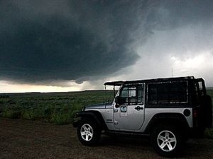 Above:
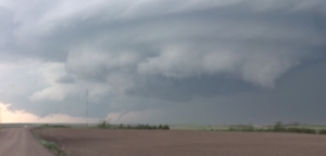
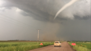
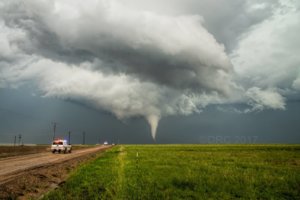
 My vehicle and approaching supercell storm southwest of Fort Laramie, Wyoming.
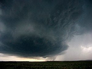 Above:
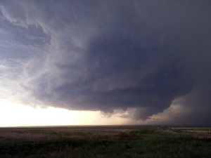
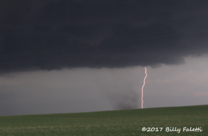
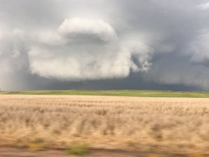
 Supercell storm and hail shaft looking southwest of Fort Laramie, Wyoming. Softball sized hail was falling from this storm at the time. Note the developing tornadic circulation just below the center of the picture.
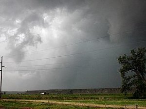 Above:
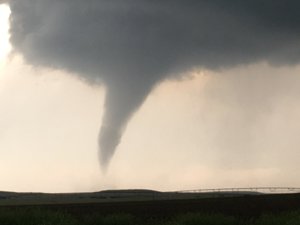
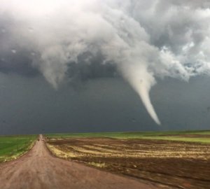
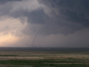
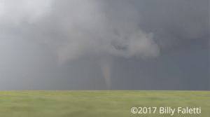
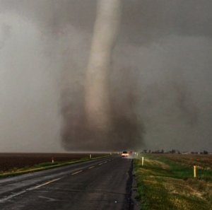
 Stovepipe tornado barely visible through the rain west of Highway 85 and 26 near Lingle, Wyoming. The view is to the northwest.
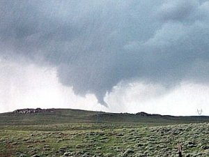 Above:
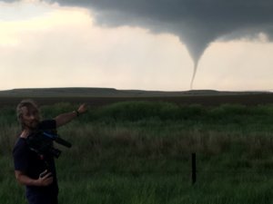
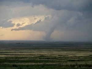
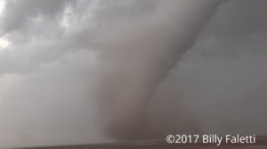
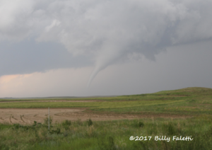
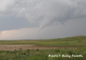
 New tornado develops north of Lingle and west of Highway 85.
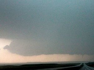 Above:
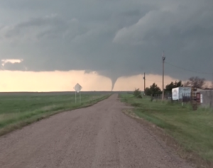
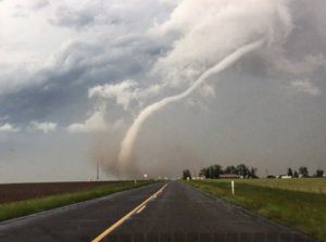
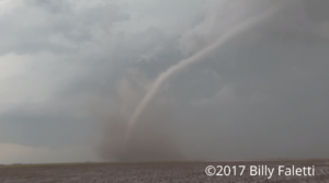
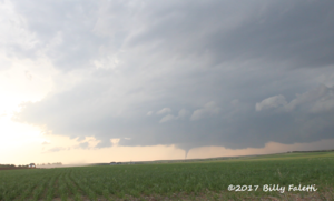
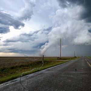
 This is a view looking south towards Harrisburg, Nebraska on Highway 71. The last tornado of the southern supercell (with a long history of producing tornadoes from NE Colorado to Nebraska) can be seen to the lower right just above the road.
