I started the day in Brandon, Manitoba and favored the southern target over North Dakota to avoid issues with cell/data coverage.
I blasted south in the morning, as my initial reaction was that it would be best to favor (prospects for) discrete activity in south-central/southeastern North Dakota. Despite a residual outflow boundary in the area during the morning and some CAM support, the threat clearly waned through the afternoon.
I sat in Jamestown for quite a while, often contemplating if I should blast north to the Bisbee area. Knowing I would likely not make it, I held on hope and when a few cells started going up down the line late in the afternoon, I blasted north.
Storms slowly organized better low-level rotation and I was directly underneath one storm that was producing
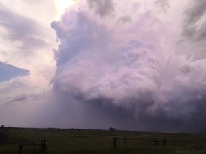
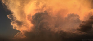
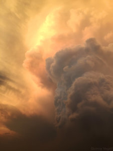
intermittent, ragged funnel clouds over northern Eddy County. There were 2-3 competing updrafts, but suddenly rotation became more focused a tornado formed southwest of Warwick. I tracked this storm for about 20 minutes before it roped out. I had some decent footage early on in its cycle, particularly since I was far enough back to get the vivid structure that was being illuminated by sunset. (I saw the tornado form around 9:06 p.m., shortly before sunset)
The road network was iffy, with limited roads and muddy dirt that made navigation tricky. Nonetheless, I finally bagged both an August and North Dakota tornado for the first time in my chasing career, so it was a very successful chase, even though I didn't see much until after 8:30 p.m.
The tornado I saw was south of the Devil's Lake tornado and apparently hasn't been surveyed yet
