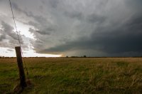
Quincy Vagell
EF4
Just a very quick recap since I've been all over the country the past three days. Finally at a hotel tonight. These photos are from my phone, so hopefully the quality and formatting are okay.
Central to northeast Kansas was my target today and although there were no tornadoes from my vantage points, storms came close to producing a few times. There were plenty of photogenic moments and countryside views. I almost had my car done in by 2"+ hail, but made it out unscathed.
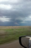
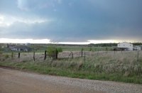
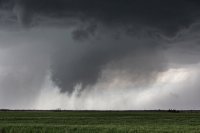
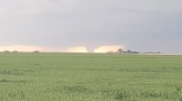
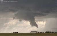
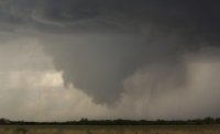
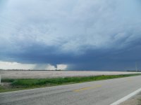
I started the chase in Hutchinson and had a visual on a funnel cloud just north of Holyrood. My view was partially obscured at times, but based on other reports, it did not appear to be a conclusive tornado.
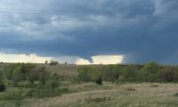
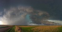
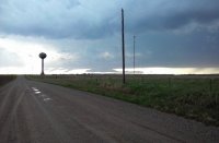
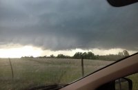
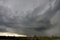
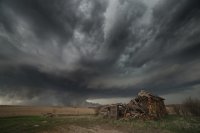
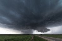
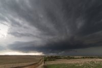
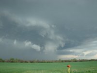
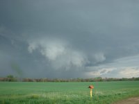
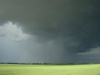
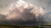
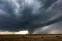
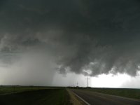
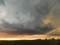
One of my favorite shots of the day was about 6 miles ENE of Ellsworth when the tornado-warned storm was maturing and featured substantial inflow.

I watched the storm evolve for a while, but never really had a clear visual on anything touching the ground. It is possible that a tornado was rain-wrapped at times, as considering I tried to keep a distance easy to allow for photograph opportunities, I didn't have the closest views.
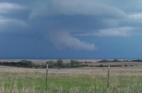
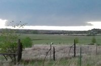
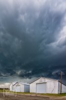
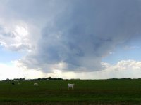
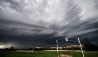
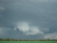
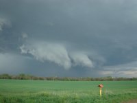
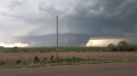
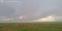
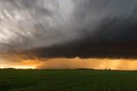
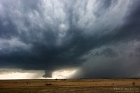
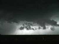
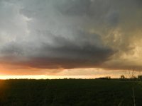
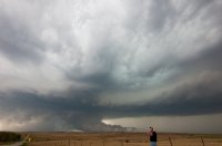
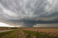
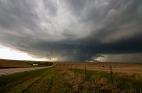
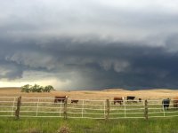
One such photo opp came near a ranch and I snapped off the following two pictures near Brookville.

The storm approached Salina and became progressively more junky looking on radar and visually.
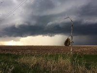
However, the initial embedded supercell ingested another cell from the south and there was a short time that the new storm tightened up its rotation a bit.
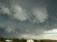
By the time I got to Junction City, I had a brief visual on a horizontal funnel/rotating appendage, but did not see it touchdown. In Ogden, the storm became tornado-warned again, but I saw no sign of any tornado there. With darkness increasing, I got back on I-70 west and assumed the chase was over...
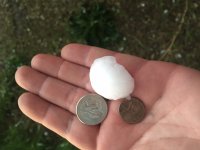
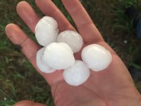
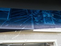
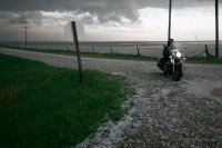
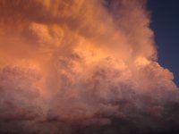
After taking my eyes off radar just for a short time, I found myself driving into a hail core near Chapman with no way out. I braced for the worst, but managed to escape 2" and possibly larger hail with no noticeable car damage. This is a reminder that when in the Plains on severe weather days (even into the night), don't take your eyes off the radar for too long!
Central to northeast Kansas was my target today and although there were no tornadoes from my vantage points, storms came close to producing a few times. There were plenty of photogenic moments and countryside views. I almost had my car done in by 2"+ hail, but made it out unscathed.
I started the chase in Hutchinson and had a visual on a funnel cloud just north of Holyrood. My view was partially obscured at times, but based on other reports, it did not appear to be a conclusive tornado.

One of my favorite shots of the day was about 6 miles ENE of Ellsworth when the tornado-warned storm was maturing and featured substantial inflow.

I watched the storm evolve for a while, but never really had a clear visual on anything touching the ground. It is possible that a tornado was rain-wrapped at times, as considering I tried to keep a distance easy to allow for photograph opportunities, I didn't have the closest views.
One such photo opp came near a ranch and I snapped off the following two pictures near Brookville.


The storm approached Salina and became progressively more junky looking on radar and visually.

However, the initial embedded supercell ingested another cell from the south and there was a short time that the new storm tightened up its rotation a bit.
By the time I got to Junction City, I had a brief visual on a horizontal funnel/rotating appendage, but did not see it touchdown. In Ogden, the storm became tornado-warned again, but I saw no sign of any tornado there. With darkness increasing, I got back on I-70 west and assumed the chase was over...
After taking my eyes off radar just for a short time, I found myself driving into a hail core near Chapman with no way out. I braced for the worst, but managed to escape 2" and possibly larger hail with no noticeable car damage. This is a reminder that when in the Plains on severe weather days (even into the night), don't take your eyes off the radar for too long!
Attachments
Last edited:

