Jesse Risley
Staff member
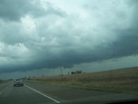
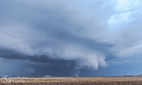
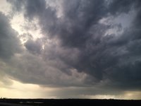
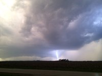
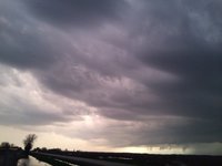
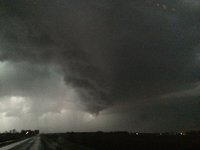
I don't have any respectable footage or photos to share. I targeted the region near the triple point in east central Iowa, where a cell fired in the early afternoon southwest of Ottumwa and struggled early on. The cell eventually developed better organization and low-level flow, going tornado warned southwest of Iowa City. I wasn't impressed with the amalgamation of the cells into an HPish mess, and given cloud cover further east, I anticipated problems with lapse rates recovering and opted not to stick with the cells proximal to the warm front as they headed towards the IL border.
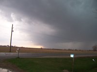
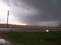
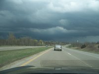
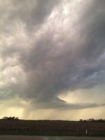
I dropped south to intercept a cell southwest of Burlington, IA, but it died out shortly after going SVR warned and developing a stellar updraft, rain free base and beaver's tail. Finally, I dropped south on the cell coming out of NE MO into west central IL, and intercepted near my home community. The cell produced some marginally severe hail before dissipating as it moved northeast. I called the chase at that point due to the distance between ongoing convection and warm front across northern IL, in conjunction with the less than favorable southwesterly winds.
I dropped south to intercept a cell southwest of Burlington, IA, but it died out shortly after going SVR warned and developing a stellar updraft, rain free base and beaver's tail. Finally, I dropped south on the cell coming out of NE MO into west central IL, and intercepted near my home community. The cell produced some marginally severe hail before dissipating as it moved northeast. I called the chase at that point due to the distance between ongoing convection and warm front across northern IL, in conjunction with the less than favorable southwesterly winds.

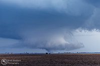
 IMG_2430 c
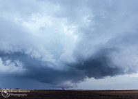
 IMG_2440 c


