2011-05-07 FCST: OK/TX/KS

Joined
Feb 28, 2010
Messages
93
Location
Ardmore, Oklahoma
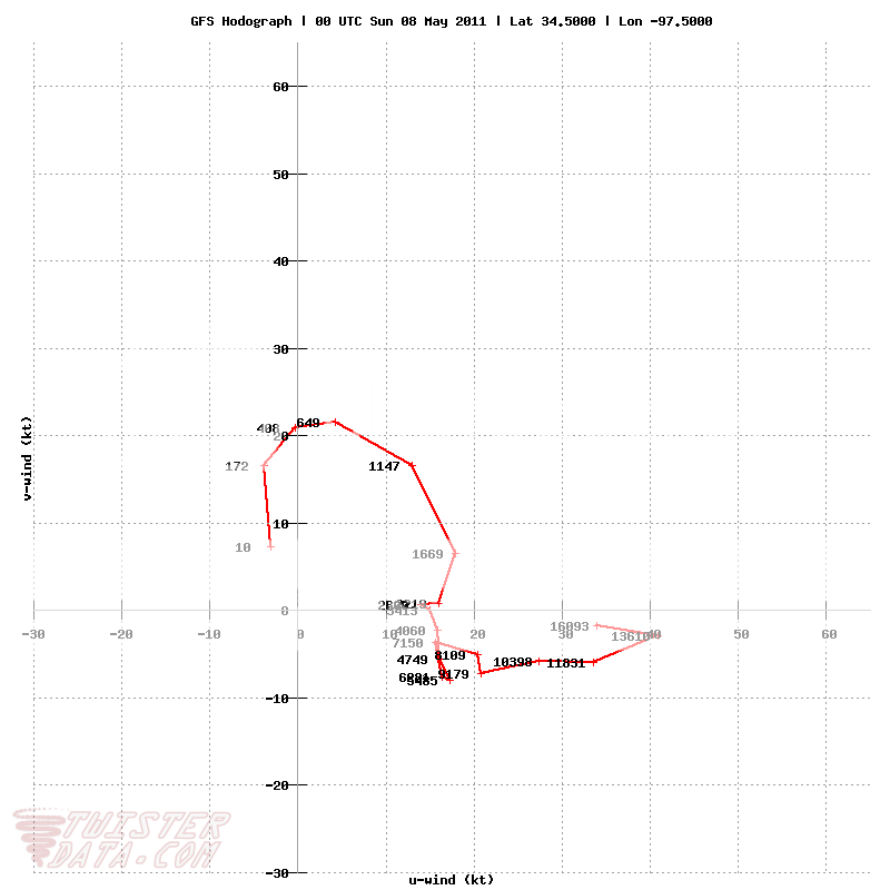
Still 5 days out, but its MAY in the Southern Plains, its time for Severe Weather! A potentially active pattern, possibly a 3 day event appears to be shaping up...particularly for OK/TX with KS also having to be included (just because its 5 days out and a lot can change, and KS is KS). To early to get into major details on this one, but the overall synoptic pattern is looking quite favorable for multiple rounds of Severe WX along and 50 mi east and WEST (HOPEFULLY) of the I-35 corridor, especially from C OK-SSW into NW/NC TX. A high Cape environment 3000-4000+ j/kg on 5/07, above average Theta-e, a dryline becoming well established west of I-35 with a Deep fetch of 65-70 Td's from a wide open Gulf and a cap thats just strong enough to allow for Discrete Supercell Development. My main concern with 5/07 is the 500mb zonal flow isn't particularly strong, however, Directional Shear looks more than adequite for rotating storms with some nice curved hodos C OK to the SSW into NW TX, if we can get some help in the afternoon hours from well timed short wave disturbances. LCL's through the I-35 cooridor also look pretty low as well. Its going to be the end of week 1 for May in OK...climatilogically an extremely favorable time frame for big time Tornadic Supercells in the Southern Plains. The most promising part of this coming weekends setup...is that it appears to only become more ripe/favorable 5/08-09....climotology has me fairly optomistic in the long range model output, that at least a couple of the upcoming weekend/early week setups will pan out...especially in OK ;)

GFS_3_2011050218_F126_CAPE_SURFACE.png

GFS_3_2011050218_F126_34_5000N_97_5000W_HODO.png

GFS_3_2011050218_F126_ZLCLM_SURFACE.png
 
Capping looks like an issue to me right now with 700mb temps per GFS, around 10. There also doesn't appear to be much in the way of forcing with synoptics north.
 
I agree with Ken, as the S/C Plains look to be in between the 2 250 hPa jets with not much in the way of UL forcing/dynamics. Next week is what is getting my attention, particularly if you buy the ECMWF.
 
I completely agree with the potential forcing/capping issues for the 7th, and that the 8th and particularly the 9th appear more favorable with a deeper trough digging into the western states. However, I dont think the 7th is a neglegable storm day along the dryline IF we can get a well timed shortwave. This far out it is nearly impossible to get a good handle on subtlties like mid level disturbances, so my point in starting this thread, is that if we can get something well timed in the late afternoon to initiate a storm or two, it could be a "Day Before the Day...Before the Day", event with a couple Isolated Supercells along the DL. With good sfc-500mb cross-over, and enlarged hodo's, the directional shear would be quite favorable for a couple rotating supercells, especially from I-40 to the SSW in SW/SC OK/NW TX. Cap strength has increased considerably from when I originally posted this, so that certainly may end up being the killer of any storm development for this day. However its May, and any potential that pops up should be worthy of a little consideration. I am banking on the 9th/10th being "The Day/s" of the week though.
 
Poor moisture will likely kill this day. No surprise really, since its pretty early in the moisture cycle. Looks for now anything would be elevated near/after dark if anything. If you noticed the nam come in much drier, no real dryline. That is what makes meteorological sense. But, definitely watching Sunday through Tuesday.
 
Back
Top