Gene Moore
EF3
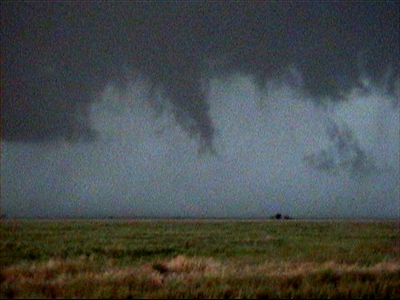
I thought you second funnel was the one I guessed to be more north. So you're correct I didn't see that one touch down. I think there were three condensation funnel events near town, first west, then north-northeast and east. Also the gustnado south of town on the nose of the gust front arch. I believe that one lasted the longest. All in all pretty trivial stuff considering how good the storm looked on radar. After that I had to dash for gas, we were below empty so there is a gap in my observations. I heard there were more funnels during that time but I haven't seen images.I was able to observe a dust plume / ground circulation associated with the first funnel in the series of pics (SW of La Crosse) though I didn't observe or even hear that the second funnel in my pics (Over and Just East of La Crosse) touched down. I''d be interested in seeing some pics of it if anyone has a link...
OT: I wish Stormtrack could start a topic thread dedicated to specific storms. Then we could all throw in our images/ observations with the times. That would greatly help sort out days like this and allow us to track the evolution.


