Mike Hardiman
EF2
Hey Folks,
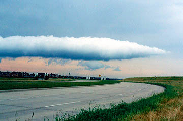
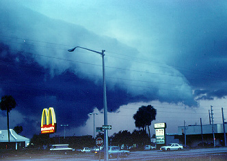
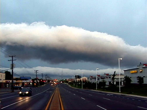
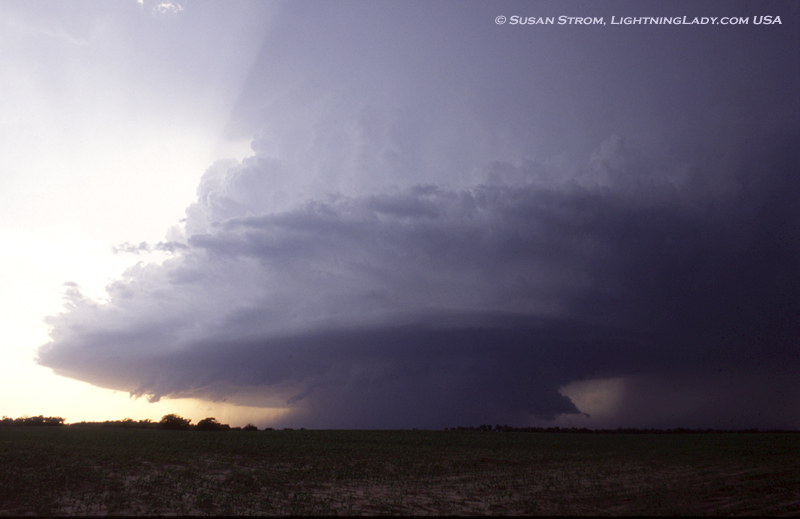
We're getting set to put together the 2006 SKYWARN Spotter talk here at NWS Lincoln, IL. Two big problems we'd like to address in our Basic Spotter presentation is differentiating between wall clouds and shelf clouds. Also, differentiating between the sustained rotation indicative of a mesocyclone and turbulent motions one might observe at the leading edge of a gust front and associated shelf cloud.
This past year, as relatively quiet as it was, included numerous reports of "rotation in low hanging clouds" which were most likely just ugly shelf clouds. This can be problematic when one considers the majority of our tornadoes develop from squall lines... and may not have strong precursor signatures on radar.
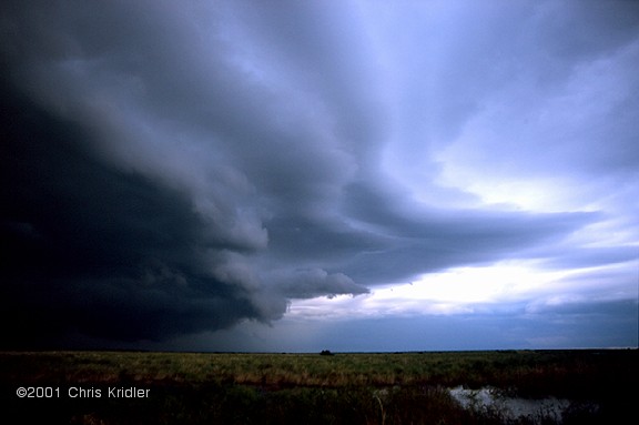
So, I was hoping some folks in the chaser community might help us out by providing some nice sharp images of wall clouds and especially shelf clouds that could be used to show a comparison between the two.
Even better would be mpeg clips showing wall clouds with sustained rotation, as well as shelf clouds moving overhead, and the associated turbulent motions they exhibit... often with fast moving scud clouds giving the impression of small scale rotation.
Photo credit, including name and web address (if applicable) will of course be given. Images/video do not need to be from IL.
Feel free to reply either to this thread, or send me an email ([email protected]) if you might be able to contribute. We can figure out ways of transferring images/video from there.
Thanks for your help!
-Mike Hardiman

