Lets see your BEST after dark supercell picture!

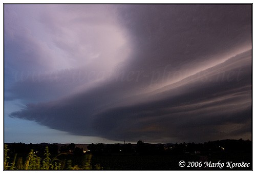
from march 12, 2006 in ne oklahoma se of tulsa (storm going a lp to classic transformation - went on to produce the benton co, ark tornado)
312006101.jpg


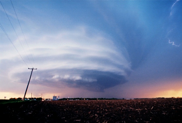
and from march 7, 2006 ne of enid, ok
370604.jpg
 
Taken on 6/4/05. Just outside of Nickerson, NE (Dodge Co. NE)
[attachmentid=512]
[attachmentid=513]
[attachmentid=514]
 
Here is one of my best night supercell pics and it is from a vid cap!!! It is from March 12, 2006. This pic was taken while heading East on Highway 60 past Springfield, MO in SW MO. It is near the town of Fordland, MO.

[attachmentid=515]

There is also this vid cap of the same storm with a tornado near Seymour, MO, which is a bit further East past Fordland on Highway 60.

[attachmentid=517]

This is a vid cap of the wall cloud of the same storm earlier near Republic, MO.

[attachmentid=516]
 
20060606_013.JPG

June 6, 2006 Western Missouri

20060312_013.jpg

Fast moving tornado illuminated by lightning. 3/12/06 near Arrow Rock, MO

20060307_002.JPG

Scott Blair shooting stills 3/7/06

Scott Currens
www.violentplains.com
 
Back
Top