First-Ever Tornado Warning for San Francisco

Joined
Feb 19, 2021
Messages
694
Location
Wichita
Here's a new one: a tornado warning was issued for the City of San Francisco very early this morning. The local NWS says it was the first-ever in the history of the city.
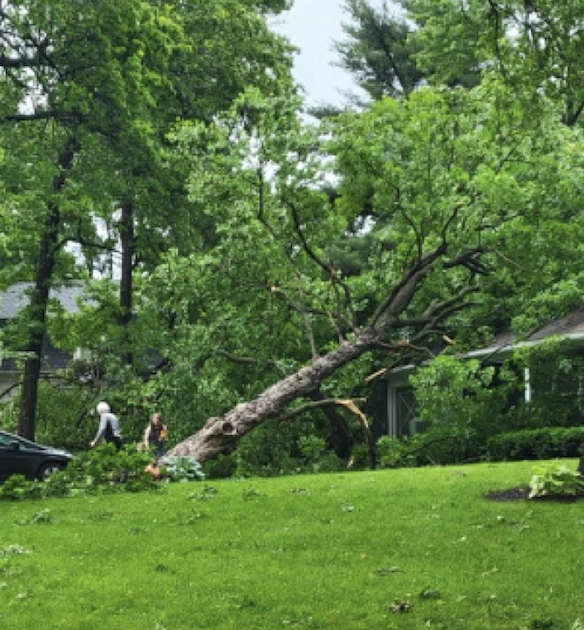
Per Poweroutage.us, there were ~15,000 homes and businesses without power at the peak. Quite a few trees were reported down.

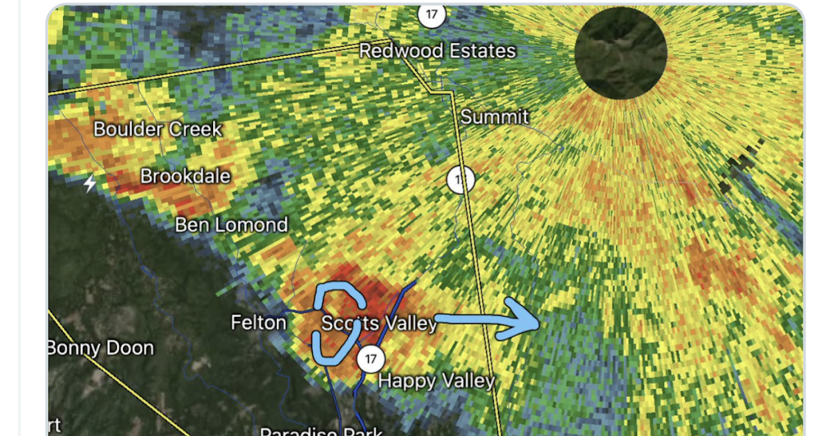
The radar loop clearly slowed an anticyclonically rotating storm that moved across the city. I have an image from right before the warning was issued here: Tornado Warning For....San Francisco?!

Unfortunately, the local NWS was operating the radar at seven-minute intervals. While I realize this is SFO, it is ridiculous to have the radar on that mode when strong storms are in the area, tornado or no.

I have more comments and images here: Tornado Warning For....San Francisco?!
 
Another factor to consider is that NWS SFO was not up to par with rapidly evolving tornado situations partly due to a younger, inexperienced staff, few events of such caliber in the Northern California CWA and seven minute radar scan intervals. It happens even in geographic regions with higher tornado frequency.

On the news beat, what I always get a chuckle about on the 'possible' or 'alleged' legal disclaimers tagged onto such viewer videos are the oft ridiculous source names supers that broadcast stations must legally superimpose when airing or sharing videos, i.e. "Courtesy: X/JoeSchmuckatelli316 ' or 'TikTok/IAmBatman5687'.

Blake
 
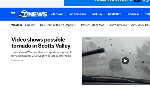
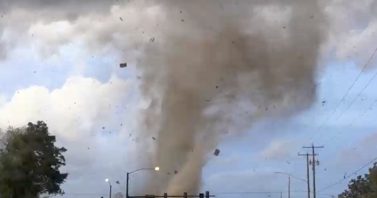
The Scotts Valley, CA storm videos look like some of the very best I've seen from the Golden State. Kodak managed to get box cameras or "Brownies" into the hands of the masses providing easy photography for everyone more than 100 years ago. Today, we know that Apple and other phone companies have put picture and video capabilities into the pockets of most everybody. Talk about the changing shape of "storm chasing" or documenting when someone in CA doesn't have to do hardly anything but pull out their phone and press a button on a screen.
 
partly due to a younger, inexperienced staff, few events of such caliber in the Northern California CWA and seven minute radar scan intervals.

But, it isn't confined to Northern California. June 8, 2022, at ~1:20am, an EF-1 cut across south Kansas City that was mostly unwarned. And, even though there was a severe thunderstorm watch that said "one or two tornadoes possible" and the EAX office had issued a SVR with a "tornado possible" tag, they left their radar on seven minute intervals! And, the TDWR was down when the tornado first touched down (although it came back up during the storm).

It is worth emphasizing that they missed the lofted debris.


The level of tornado warning training in the NWS is poor.

Agree, Mike in regards to overall NWS "tornado warning training" being "poor" per conversations I've had with former colleagues in local offices. Another factor, EF-1 tornadoes are typically fast and can often reach a mature stage within the 7 minute WSR 88D scan lag. This happened in Southern Kent County, Michigan on 6-July-2014. The storm was electric as so many tornado producing supercells visually are. I was not "chasing" but could see the storm from where I lived in East Grand Rapids at the time. It was also my weekend away from work at WWMT, so my attention towards the event was focused on life/family at the time. A severe thunderstorm warning was issued, but the tornado warning was only issued after the tornado was on the ground. Aka, the 7-8 June 1984 Barneveld, Wisconsin effect, the later example being a worst case scenario in the pre-Doppler era. The 28-August-1990 Plainfield, Illinois event also comes to mind, again, pre Doppler.

Pardon my ignorance, but are there any upgrades or advancement inbound to improve Doppler Radar WSR-88D radar return speed that you are aware of?

Not to broad bush the "training" opinion as there are age and experience discrepancies in every industry, but when you are employed in an industry tasked with providing a public service with effective severe weather warnings and awareness, you must have skilled radar meteorologists ready to step in and make a call verses fear of taking a conservative approach to err on the safe side. This goes for all broadcast and streamer meteorologists, weather presenters and public figures that have a paid duty to alert the public, sans hype, and with beneficial information.

Blake


BLAKE WILLIAM NAFTEL
Artist, Comedy Writer, Meteorologist

616.643.7762
blakenaftel.com
threereelfilms.com
 
Just learned this morning that AccuWeather provided a tornado warning to its clients in Scotts Valley 16 minutes in advance.

This highlights the need to radically change the way meteorologists are trained and educated:
 
Back
Top