Mike Smith
EF5
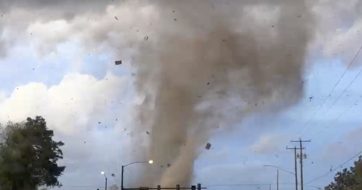
Here's a new one: a tornado warning was issued for the City of San Francisco very early this morning. The local NWS says it was the first-ever in the history of the city.
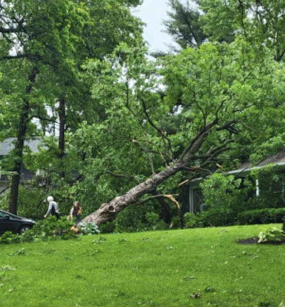
Per Poweroutage.us, there were ~15,000 homes and businesses without power at the peak. Quite a few trees were reported down.
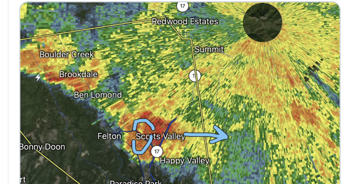
The radar loop clearly slowed an anticyclonically rotating storm that moved across the city. I have an image from right before the warning was issued here: Tornado Warning For....San Francisco?!
Unfortunately, the local NWS was operating the radar at seven-minute intervals. While I realize this is SFO, it is ridiculous to have the radar on that mode when strong storms are in the area, tornado or no.
I have more comments and images here: Tornado Warning For....San Francisco?!
Per Poweroutage.us, there were ~15,000 homes and businesses without power at the peak. Quite a few trees were reported down.
The radar loop clearly slowed an anticyclonically rotating storm that moved across the city. I have an image from right before the warning was issued here: Tornado Warning For....San Francisco?!
Unfortunately, the local NWS was operating the radar at seven-minute intervals. While I realize this is SFO, it is ridiculous to have the radar on that mode when strong storms are in the area, tornado or no.
I have more comments and images here: Tornado Warning For....San Francisco?!
 comments.
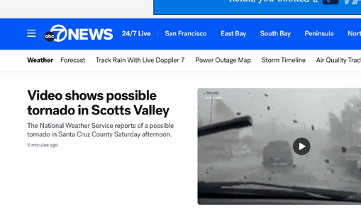
") Recently I just learned that AW fuses it's graphics package from the Farmers Almanac, of which it also partially sponsors to afford Dr. Joel another vintage barometer for his upstairs office meeting room space.
Recently I just learned that AW fuses it's graphics package from the Farmers Almanac, of which it also partially sponsors to afford Dr. Joel another vintage barometer for his upstairs office meeting room space. 
