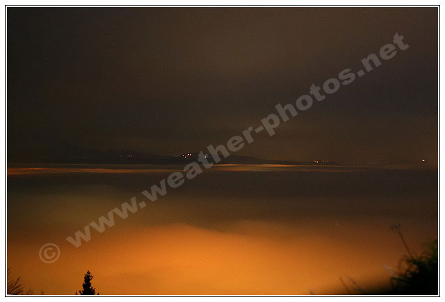
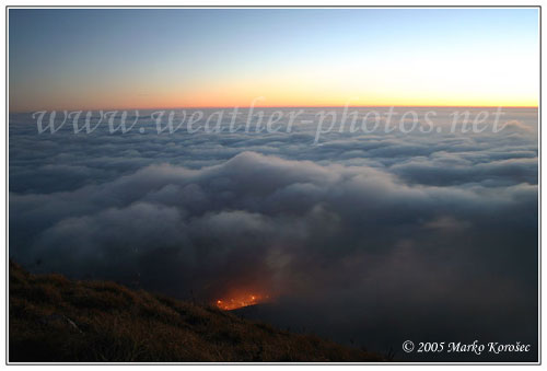
Extreme visibility above the inversion, Oct 27th

Joined
Jul 8, 2004
Messages
494
Location
SW Slovenia, Europe
Hey all,

we had a really depressive week of low clouds and fog here is SW Slovenia and north Italy this week, so I decided to go above it. I went to a hill Nanos 1300m, where the view vas incredible! At my home (390m) it was 12°C, but at the top of the hill there was 22°C, really a nice feeling up there.

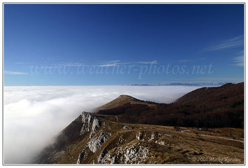
Cloud tops were about 100m under my position:
27_10_2005mk.jpg


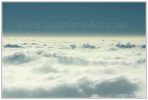
Here you can see there were also a few layers of dry turbidity above the clouds:
27_10_2005mk4.jpg


Looking towards Julian Alps, layers visible again:
27_10_2005mk13.jpg


Colors were just fantastic few minutes before the sunset, almost unreal view:
27_10_2005mk14.jpg


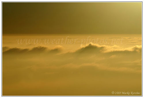
One detailed view of colorful cloud tops:
27_10_2005mk11.jpg


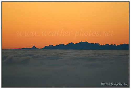
Here is a view towards Alps, better said Italian Dolomites. There is a peak of Mt. Cimon della Pala (3186m) on the extreme left which is 181km away! Just insane visibility:
27_10_2005mk20.jpg


This is a view towards the highway below with interesting silhouettes of traffic:
27_10_2005mk27.jpg


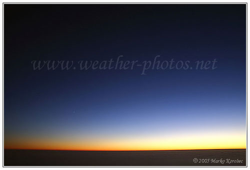
The colors later were just unbelivable great, never seen something like that below. There is a planet Venus on the left:
27_10_2005mk24.jpg


All the rest photos are here in my gallery: http://www.weather-photos.net/gallery/thum...ls.php?album=68

Hope you guys like the photos :wink:
 
Those are great Marko! I get those formations pretty frequently here in WV. The fog flows through the valley like a river. I love seeing it at night when the city lights set the whole thing glowing from below. I live at a fairly high elevation above a valley, and a walk up to the ridgetop cemetery behind the house yields this view:

http://wvlightning.com/fogriver.shtml
http://stormscenes.com/wvc-010205a.shtml
http://stormscenes.com/wvc-010105a.shtml

(There are timelapse clips at those last two links.)
 
Thanks, glad you like them :wink:

Dan,
I just checked those clips...its nice to see how fog is moving and its formations. Fog over the city at night is pretty amazing yeah, here is one pic from last winter, I was on one hill just about 30m above the fog below:

28_11_2004mk5.jpg


Here where I live we maybe get fog or low clouds just two or three times per year, because usually its windy in this part of Slovenia. Like today for example, its clear sky just here, the rest of country has low clouds.
 
Yes, while the valley fog is pretty common here, it's rare to get that classic crisp visibility above the fog. Most of the time the 'fog line' boundary is diffuse and not that impressive when viewed from above, because even on the ridge you're still inside the fog a little bit. The big factor here is the river, which cools in the winter and warms up in the summer.

On those nights when the temps drop close to the dewpoint, if the cold river has kept temps lower in the valley, the air will saturate only inside the valley and remain clear everywhere else - hence the sharp 'fog line' below the ridge. This happens during warmer temps in the winter and early spring, when the river water is still cold.

In the summer/late fall the inverse happens - the river water is warm and keeps the valley warm, so the temp in the valley can remain above the dewpoint, while fog forms everywhere else *but* in the valley.

To get that nice, sharp photogenic 'fog line' we usually need a cold river (winter through early spring) and ambient temps that drop far enough for the valley to saturate, but not low enough that the surrounding areas do. Sort of a delicate balance. If the temps drop too far, fog forms everywhere.
 
I guess sea has the same effect as river in late summer and autumn, its still warm enough. Today almost whole country in under low clouds, the wind turned to west and clouds also covered SW parts from the North Adriatic sea. As you can see on this image, there are just Alps and some of the highest peaks above the clouds. Pretty depressive look.

But you were talking about valley fog, which I guess stays there during night and in the morning, not for whole day. Usually its like that here, the sky clears around noon. Or does it stay there for long?

We had such situations, that fog lasts longer and longer until it rises to compact low St/Sc clouds and stays there for few days. Then it remains cloudy, not really foggy anymore. I think there is a record of ~45 days under it in our capital city one winter, can't imagine how depressive was that.

Actually I've never seen a flat boundary from above, its always or diffuse or like on this pic (the same view as it is on the 7th pic in the first post), taken last winter:

10_01_2005mk11.jpg


even there is nothing below, because ground is 500m or more below. Clouds are a bit higher just near hills if they're not above them.
 
Back
Top