Jeremy Perez
Supporter
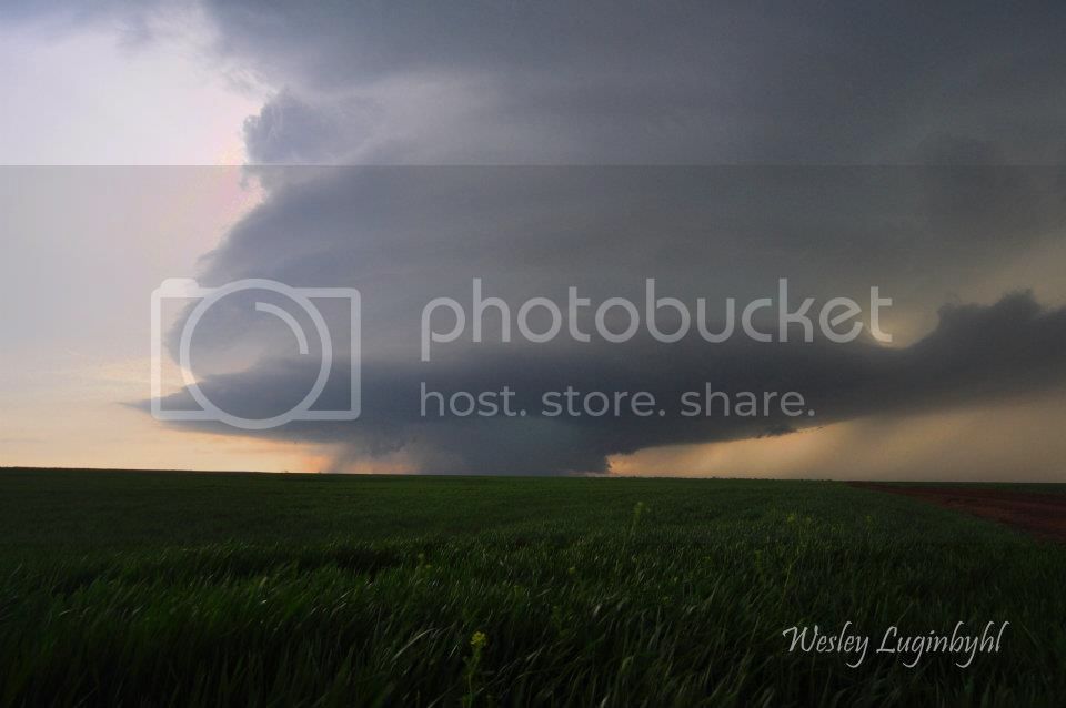
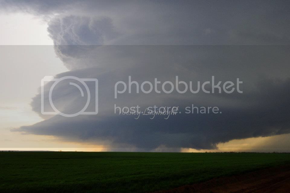
One of the interesting revelations I had while watching the ChaserCon presentations was from Dr. Bluestein's RaXPol observations. He was looping some awesome examples of anticyclonic circulations developing south and southeast of a parent mesocyclone. After discussing the El Reno storm, he pulled up a radar loop and photo of an anticyclonic tornado on the gorgeous supercell from 18 March 2012 in Southwest Oklahoma. Kind of blew me away when the photo popped up—'hey I know that snaky funnel!' Catching an anticyclonic tornado was on my someday-maybe wish list, and didn't realize I'd already witnessed one, apparently. I know a lot of people observed and photographed that tornado, but I was definitely too far away to see it as anything other than a silhouette. I need to start scrounging around and see if I can find any closer video that might show motion better.
My distant, snapshot-quality image:

I'm definitely interested in anyone else's experiences with that tornado and whether I'm just pretty late to the game in realizing it was anti-cyclonic. Thanks for any thoughts/photos/videos!
(Also, I could never tell for sure if I was catching tornadic activity on the right side of that wet RFD curtain—looks kind of funnel & debris-ish over there. I think there was a lot of on-and-off touchdowns going on inside the precip before the beautiful cone/trunk touched down about 25 minutes later.)
My distant, snapshot-quality image:

I'm definitely interested in anyone else's experiences with that tornado and whether I'm just pretty late to the game in realizing it was anti-cyclonic. Thanks for any thoughts/photos/videos!
(Also, I could never tell for sure if I was catching tornadic activity on the right side of that wet RFD curtain—looks kind of funnel & debris-ish over there. I think there was a lot of on-and-off touchdowns going on inside the precip before the beautiful cone/trunk touched down about 25 minutes later.)
Last edited by a moderator:


