Scott Roberts
EF2
My wife Roxan and I left from Wichita about 6:30pm, after we finished attending the wedding and reception for our nephew, who was married a week to the day after his sister 
We took along our neice Megan and a friend's daughter Katie, both teenagers who had never seen a tornado up close. We didn't think today was going to be the day to show them one...but we were wrong! :blink:
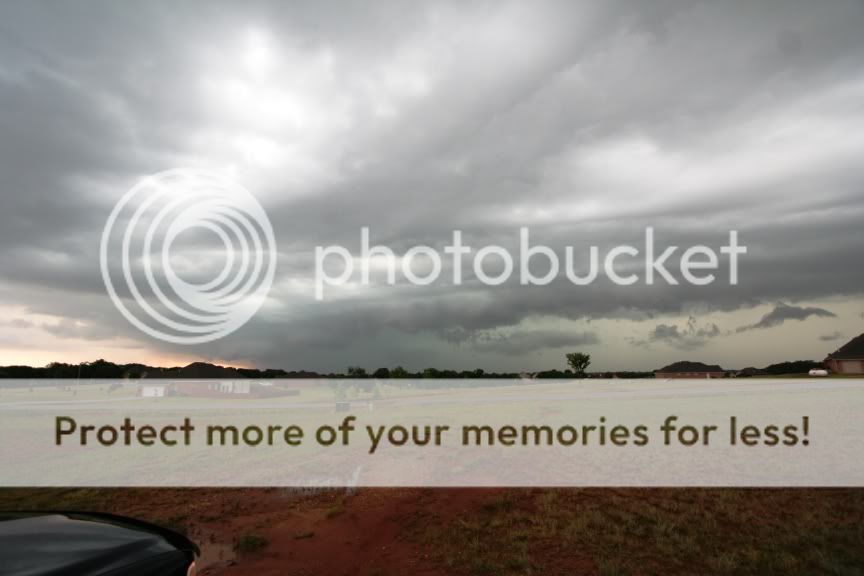
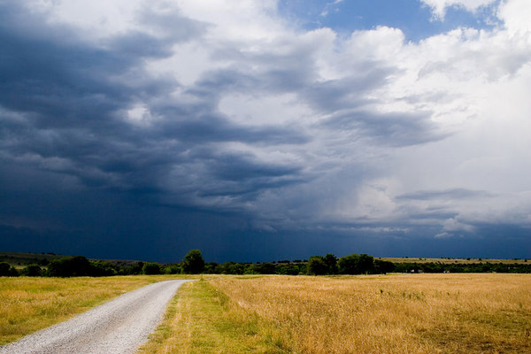
As it so often seems to happen for me...right as we were about to give up on the line of storms, it produced. We had driven through some pretty heavy rain as we played back and forth across the dry line through southeastern Butler county.
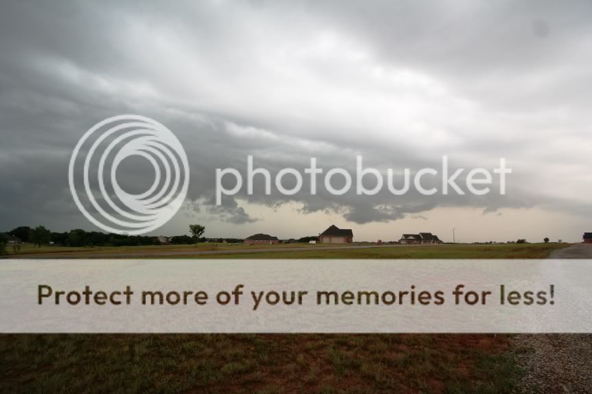
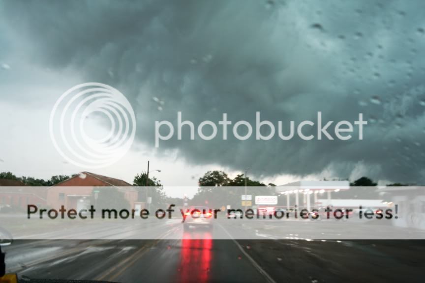
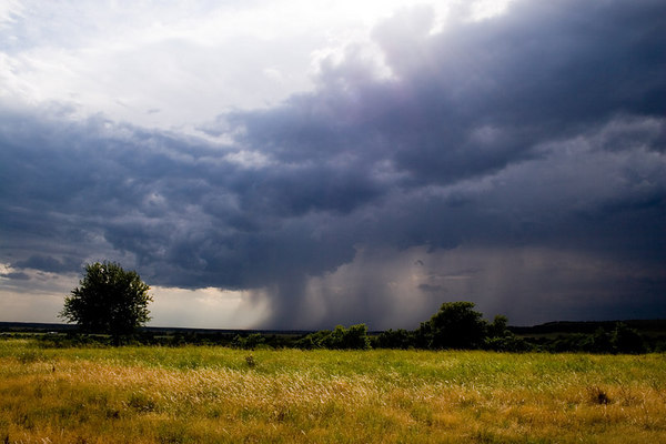
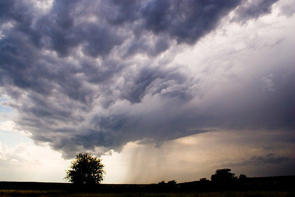
We decided to stop a few miles south of Latham, KS, just into northern Cowley county, after noticing there seemed to be a LOT of convergence right there. Got some beautiful cloud shots to the southeast, and the line overtook us from the west. We turned to our northeast, where we were seeing some nice large-scale rotation. After a few minutes, a small funnel started to drop from the clouds, and we watched my first birth-to-death tornado. From our vantage point, we were unable to verify touchdown, but two other chasers for the station, Eric Lynn and Lance Ferguson, were a bit closer to it, and northeast a bit, and said they did see a touchdown.
[attachmentid=379]
Full pictures and video at http://www.ksstorm.info/061706tornado.html
Hey...even if it was a landspout, it was still the first birth-to-death tornado for me, and the first of any kind for the girls. B)
We took along our neice Megan and a friend's daughter Katie, both teenagers who had never seen a tornado up close. We didn't think today was going to be the day to show them one...but we were wrong! :blink:
As it so often seems to happen for me...right as we were about to give up on the line of storms, it produced. We had driven through some pretty heavy rain as we played back and forth across the dry line through southeastern Butler county.
We decided to stop a few miles south of Latham, KS, just into northern Cowley county, after noticing there seemed to be a LOT of convergence right there. Got some beautiful cloud shots to the southeast, and the line overtook us from the west. We turned to our northeast, where we were seeing some nice large-scale rotation. After a few minutes, a small funnel started to drop from the clouds, and we watched my first birth-to-death tornado. From our vantage point, we were unable to verify touchdown, but two other chasers for the station, Eric Lynn and Lance Ferguson, were a bit closer to it, and northeast a bit, and said they did see a touchdown.
[attachmentid=379]
Full pictures and video at http://www.ksstorm.info/061706tornado.html
Hey...even if it was a landspout, it was still the first birth-to-death tornado for me, and the first of any kind for the girls. B)