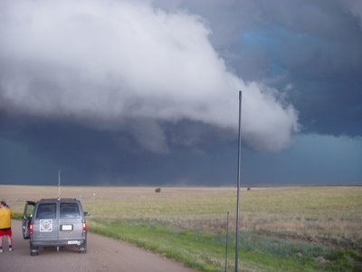
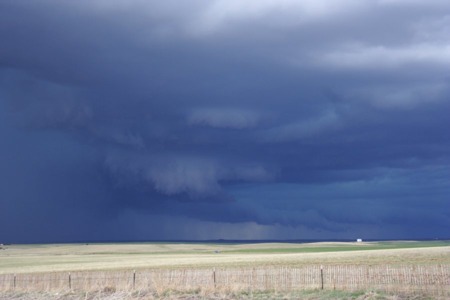
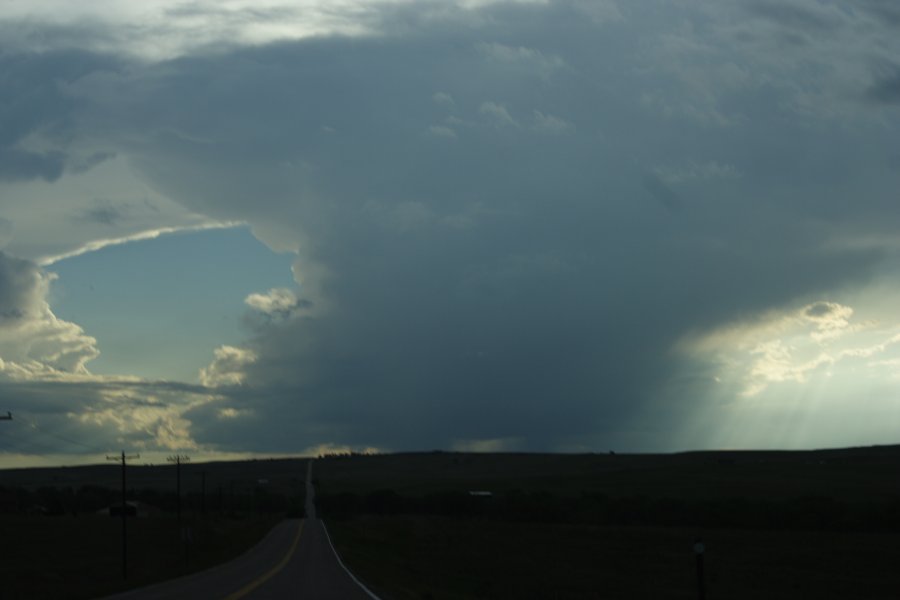
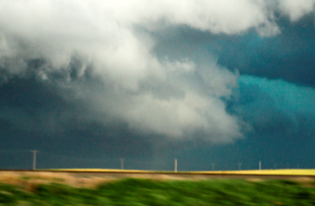
Wow, what an action-packed chase day yesterday (5/31)! Jay, Jon, Rob, Mitch, and I left Clayton, NM by 11:30am or so and headed north through Lamar to Limon. We arrived in Limon as a supercell was underway to our northwest. The storm was still in an organizing state to our northwest. We drove north of Limon to photograph some of the high based structure that had a meso embedded in it to our west.
We followed this storm as it cycled through stages of organization north of I-70…then along the I-70 corridor from Bovina to Flagler, CO. By the time we approached Flager, our storms were becoming a mess. There was an isolated supercell to the northwest near Fort Morgan which I was tempted to intercept since at the time it was the best looking thing around. It turned out this was a good idea NOT to chase… as our original activity was about to undergo some significant changes for the better. We drove through the core of a cell to our immediate east and south that had some dime size hail.
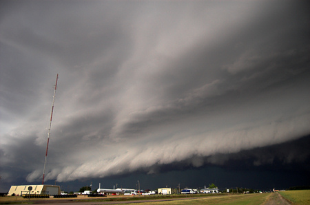
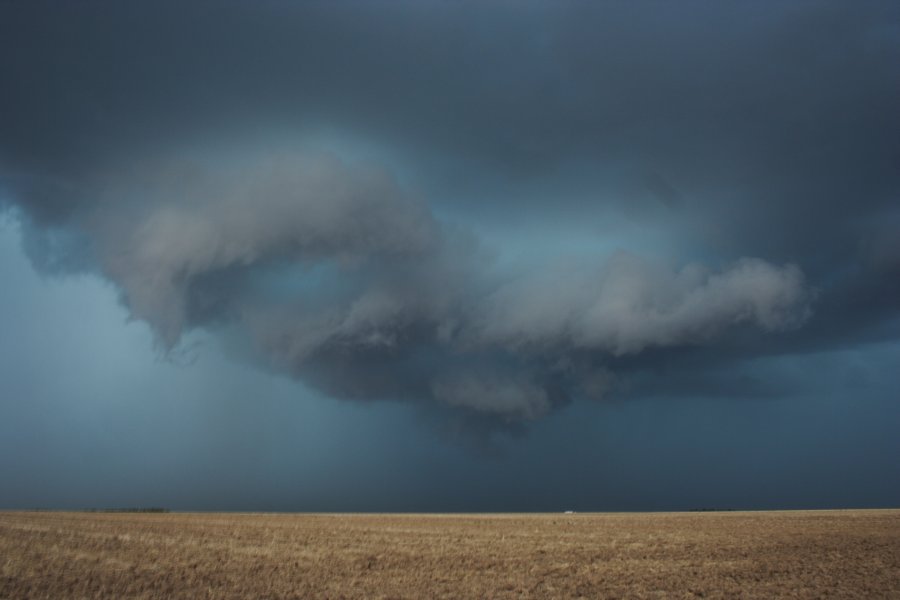
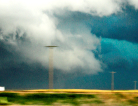
At Burlington, we optioned south just to get into some clear air so we could “breathe†a little easier with respect to staying ahead of all this stuff. As we went south on US-385 we eventually got far enough south to see some impressive mid level structure with the one cell to our immediate west that had a little meso with it. This whole area from southeast of Burlington down south to west of Cheyenne Wells, CO was exploding into an impressive HP beast churning up a ton of dust with small scale vortices (gustnadoes) along the gust front. The gust front wasn’t really surging east that far from the developing updrafts… therefore some of the gustnadoes almost appeared as if they were hybrid front-flank weak tornadoes.
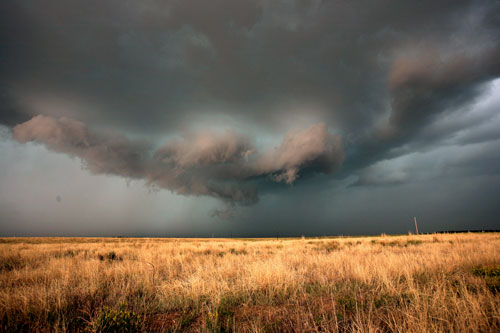
There was really interesting cloud base rotation at various portions along this inflow/outflow interface where the new updrafts were going up vigorously. At these locally enhanced areas of rotation, the dust would organize in a column and rise up to meet the cloud base rotation. Really, really interesting!
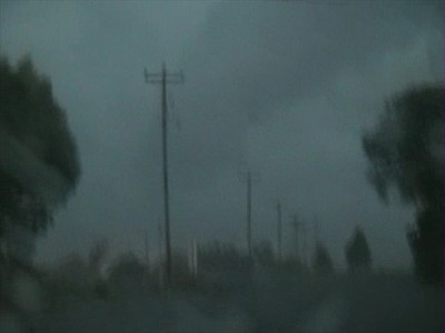
We actually took a dusty farm road east through all this stuff… north of Hwy 40 between Cheyenne Wells and Arapahoe. At various points along this adventurous dusty drive, the visibility went to ZERO in dust with northwest winds around 40 to 55 mph or so. Jon and Mitch were shooting video during all of this and I’m looking forward to seeing how that turned out.
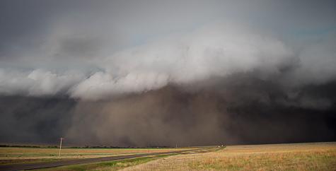
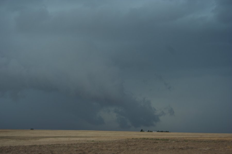
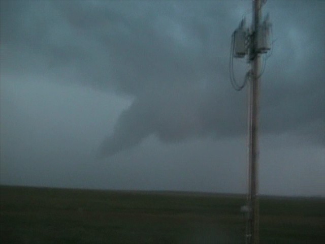
We got back to US-40 and blasted east to Weskan, KS. Near Weskan, we looked off to the north into the notch of this HP beast. There was an impressive column of dust that looked better than any other dust column we had seen and it was right where radar was indicating strong shear. It’s possible we were looking at a weak tornadic circulation back in the notch. I was able to get a couple photos of this while we were driving east, but it’s fairly inconclusive as to whether this was really a tornado or just a well developed gustnado. Probably a hybrid?
Eventually, this whole thing became one giant dust storm at the leading edge with haboob characteristics at the front edge. When we got on the east side of Sharon Springs as this monster storm approached Sharon Springs… the structure was magnificent! It was just a huge wall of updraft right above the dust wall/haboob. Wow! I was fortunate enough to capture all of this on the digital SLR. It was an awesome sight! We finally aborted the chase northeast of Wallace and backtracked through the storm back to Goodland where we stayed for the night.