Brian Stertz
EF5
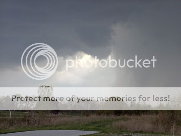
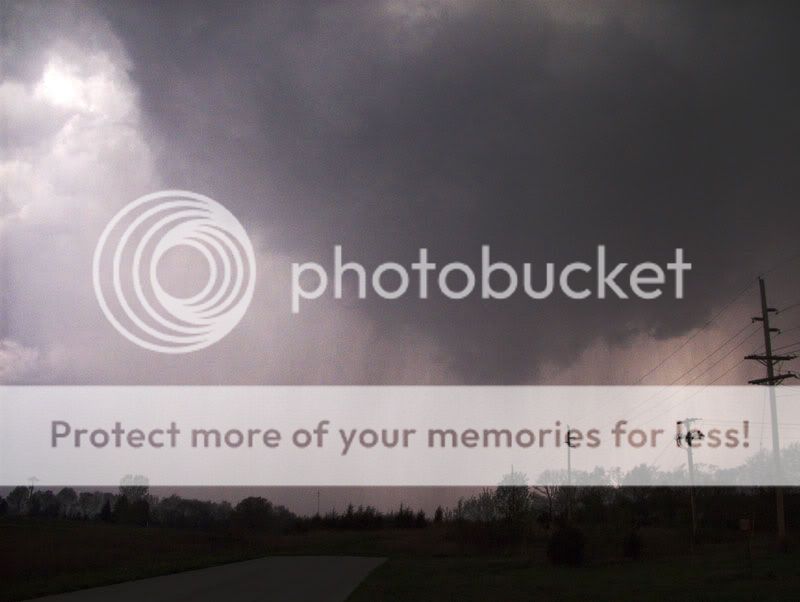
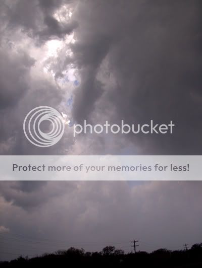
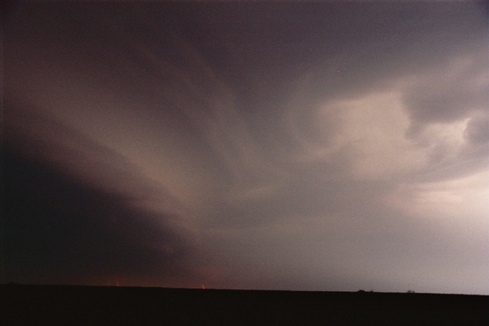
Just back from a fun chase in/around Chillicothe (Livingston Co. MO). No tornadoes (at least that we saw), but did encounter some good hailbombs ranging from golfball to baseball sized. One such baseball put a small crater in the hood of my car. The supercell was small but pretty mighty. Said a quick hello to Gene Moore on south side of Chillicothe before the big hail showed up, and we had to vacate the scene pretty quick. I will have pics up tomorrow on my site Vortex Times. I really enjoyed the pace of today's chase as storm motions never went above 35mph, and you could actually savor a few moments as the supercell cycled and tried several times to drop a tornado along Highway 36.

This was taken at pretty much the time the supercell was hammering Chillicothe with golfballs and baseballs. Love the structure. This supercell had a pretty mean bite!!
This was taken at pretty much the time the supercell was hammering Chillicothe with golfballs and baseballs. Love the structure. This supercell had a pretty mean bite!!