My first chase within a PDS tornado warning box. June 3, 2025 looked like a ok supercell setup several days out, with a day 5 risk area for eastern Kansas, but began downtrending into front-parallel clusters. Due to having my wisdoms removed a few days prior and this being another solo chase, I was really hoping the setup would be exciting enough and not feel like a waste of time and energy. A day out though, I noticed an uptrend for a bow-echo and QLCS tornado mode in Missouri near I-70, despite there only being a 2%. Models still hinted at this the morning of, and the line was already rotating way out in east/central KS before it had any CAPE to do anything with, so it became obvious that the QLCS tornado threat would verify.
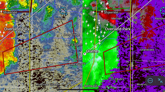
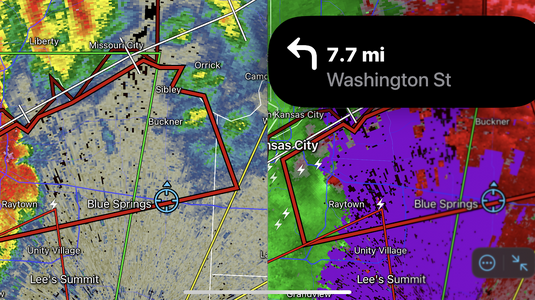
I left KC around 1:25 pm ish, with the goal of setting up ahead of the line in near Odessa as it looked like the most favorable environment would be well east of the metro, but while stopping for a break in Raytown near the stadiums, it was apparent that I did not need to go as far east as mesovorts were starting to pop up and the first tor warning went up southwest of Olathe on the KS side at around 1:50. After telling store management about the approaching storm, I get on Facebook Live to make a quick update to Hunter Hurley and I's KC weather information page. You could hear the faint cry of sirens in the next town over when a new tornado warning came out for Jackson County at 2:11 pm. While still miles ahead of the line, I jump up on I-70 to head east out of the dense metro to avoid traffic lights, traffic, and underpass dwellers. While headed east on 70, my radar mounted on my dashboard showed a larger, stronger signature coming up on Raytown and I expected a new warning any second. After it was issued, the next scan showed an obvious TVS in the southeast metro. For the most part, everyone on the roads in the city were very well behaved. A few minutes later, I get to S Buckner Tarsney road in Grain Valley, MO and to my surprise, I see that they have issued a PDS tornado warning for all of the southeast metro for Independence, MO going up to Buckner.
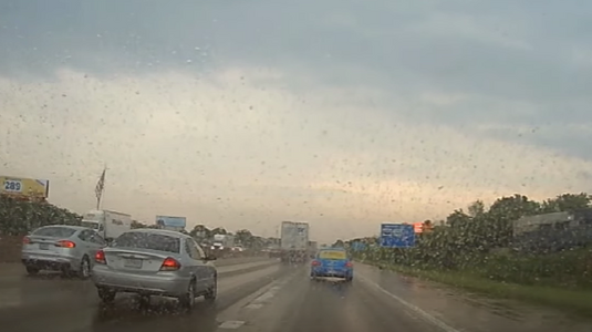
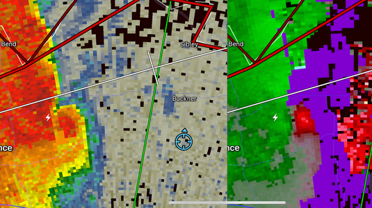
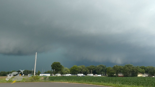
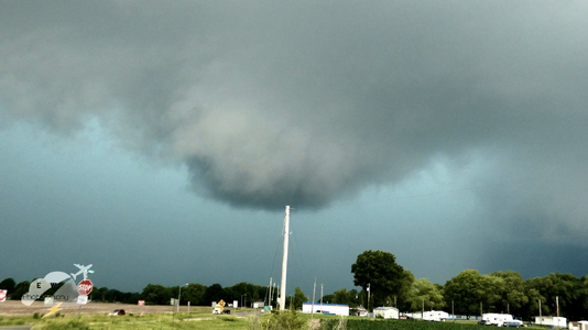
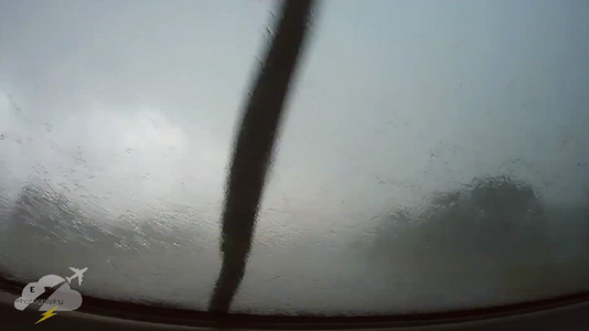
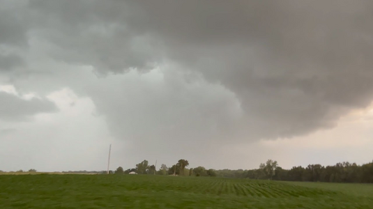
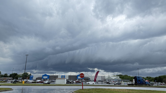
In total disbelief, I pull over in the Hy-Vee parking lot immediately to get on FB live to put out a public emergency update to the metro. After this, I blast north to the town of Buckner. On the commute, trees blocked visual of the storm for almost the WHOLE time, allowing one or two glimpses of a ominous low shelf and additional lowering. Pulling into Buckner with sirens, I could finally see the leading edge of the storm and the segment of interest, several locals and businesses were standing outside watching, some of who I screamed at as I was convinced the tornado was still down and invisible behind the rain as the PDS warning was still in affect. I was also in awe of how long the circulation/mesovortex had stayed together as it was a QLCS and not a supercell. on the east side of town, I pull over after getting a good visual and see a bowing shelf with a deep turquoise core behind it with a thick bulge notch in the rain shaft, similar to the rain shaft you would see at the RFD of a thick HP supercell. I was convinced the tornado was still down and had a good idea of where it was, but then noticed a bowl lowering on the shelf cloud about to go over my head, but noticed it wasn't ordinary scud and was rotating considerably, this confused me a little. I checked radar and saw that while not as strong, the circulation turned straight east, so not wanting to chance it, I floor it out of there for about a mile or two and stop to let the rotation go to my north. After getting there and the lead edge overtakes me, I look up and see a clear slot of there a possible tor would be, but as expected, I do not definitively see a condensed tornado. After checking past radar scans, although Buckner may have had a tiny spin-up, I do not see anything that would say they were in need of immediate help, so I follow the storm east expecting it to get worse. On highway 24, I notice a clear slot with a kink appendage in the leading edge of the line, where the circulation was. I pull over where some other spotters and chasers had pulled over to film and observe it to the north to see if there where powerflashes as the rain had cleared out better now. Not seeing any, I continue east a ways. The line never really strengthened, but severe prefrontals went up with some lightning to my east, but apart from that and a cool decaying shelf in Marshall, MO as the line caught back up, the chase was over. So after resting and trying to eat what my mouth would let me, I begin the relaxing drive home. I did not see any damage on I-70 and thankfully it was open.
Full chase and broadcast timeline:
