Hannah.Taylor
EF5
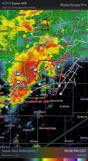
Dad and I drove all night from MN/IA to Frederick, OK. From there we adjusted to Throckmorton, TX. There was way too much cloud cover and our forecaster recommended we head over to Aspermont, TX to our west.
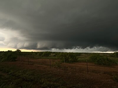
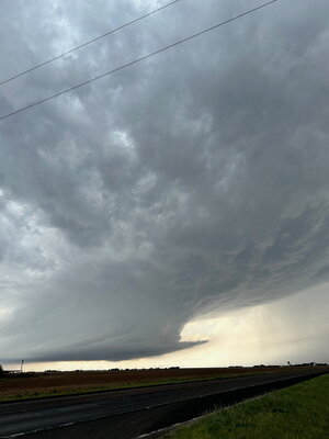
Patience paid off and we got an amazing wall cloud with some decent structure and it darn near dropped a tornado right next to us. It just couldn't get it done. I thought for sure it was going to drop right off to the right side of the road (TX-83) looking east.
Dad was super excited. He had never seen anything like that before. Can't classify this as a bust.
Unfortunately storms to our west arrived too quickly and cut us off from pursuing this cell to the NE. With reports of 5" hail in both storms cores, we decided that was not in our best interest and called it.


