• While Stormtrack has discontinued its hosting of SpotterNetwork support on the forums, keep in mind that support for SpotterNetwork issues is available by emailing [email protected].

2025-04-27 REPORTS: NE

TonyB

EF0
Joined
Jun 1, 2022
Messages
22
Location
Denver
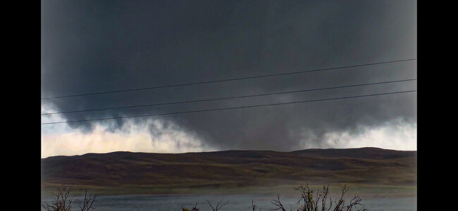
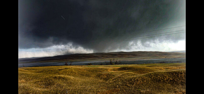
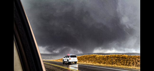
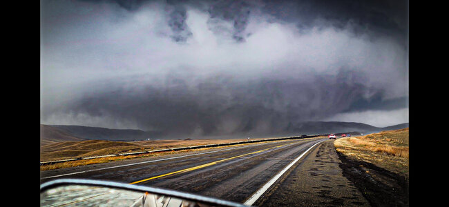
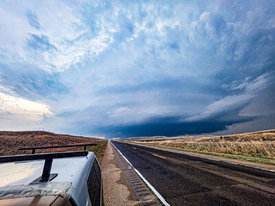
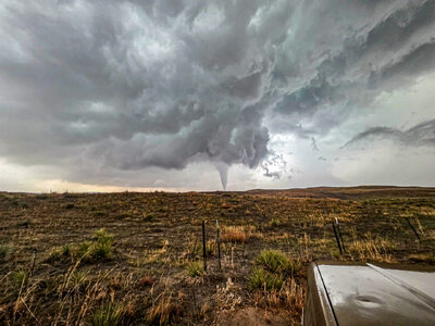
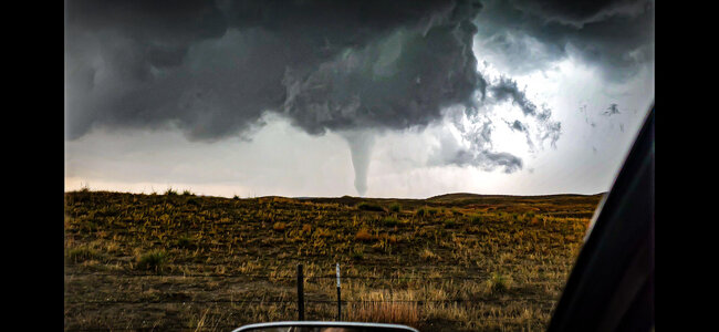
Biggest bust in at least the past 5 years on 4/28, but yesterday 4/27 was one of the best chases possible on an unexpected day. I hate/love chasing so much.

These pics are in chronological order as it went through its various forms from south of Bingham, NE to ~15 mi NE of Hyannis, NE. The video is ~half way between Bingham and Ashby.
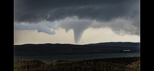
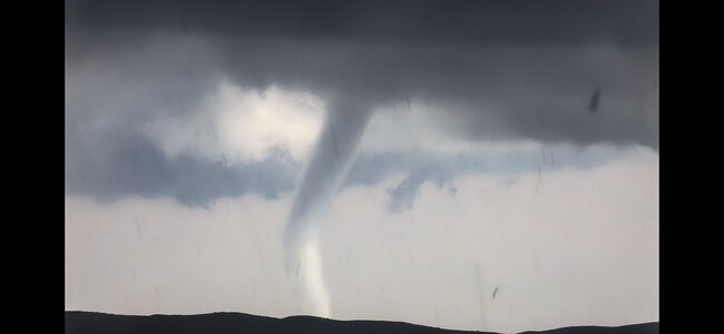
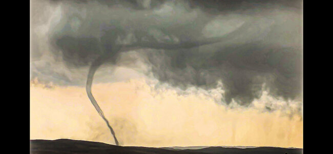
Screenshot_20250429_034216_Gallery.jpgScreenshot_20250429_034028_Gallery.jpg
Screenshot_20250429_033808_Gallery.jpgScreenshot_20250429_033334_Gallery.jpgScreenshot_20250429_033410_Gallery.jpgScreenshot_20250429_033539_Gallery.jpgScreenshot_20250429_034412_Gallery.jpg
20250427_182812 (1).jpg20250427_200804.jpgScreenshot_20250429_035118_Gallery.jpg

Now, time for a 12 hour drive home....
 
Last edited by a moderator:
I observed a significant nighttime tornado with the prolific supercell in the Nebraska Sandhills on Sunday night. I originally targeted northwestern Kansas, which blue-sky busted - but was within range to intercept the Sandhills supercell in fabled Cherry County after dark north of Mullen, NE. I had hoped for a few consolation lightning+structure shots, but ended up capturing a huge wedge tornado together with the storm structure.

I posted a full chase log with numerous photos here:


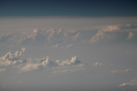
This was my consolation prize (teaser) of sorts. I went with my wife on a trip to southern CA Apr 23-27, hoping it would be a quiet few days on the Plains (naturally, because that weekend was chosen instead of this one, it wasn't). We flew home to Chicago from Burbank on Sun afternoon / evening and was excited that the flight track would bisect the dryline in KS and hopefully would be able to have a brief aerial structure chase. KS was a bust of course but I was able to see the towers going up on the NE Sandhills storm. This shot was taken at 6:00 PM CDT from a position about 20 mi E of Oakley, KS looking NNW with my telephoto lens out the airplane window. I estimate the storms were about 175-200 mi away.
 

Attachments

  • IMG_8291.JPG
    IMG_8291.JPG
    68.1 KB · Views: 8
Back
Top