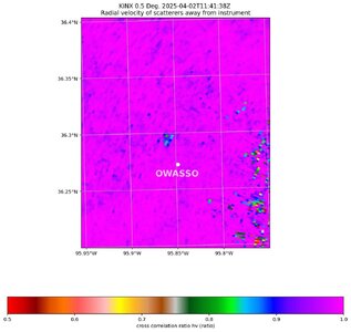
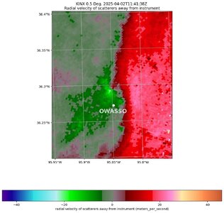
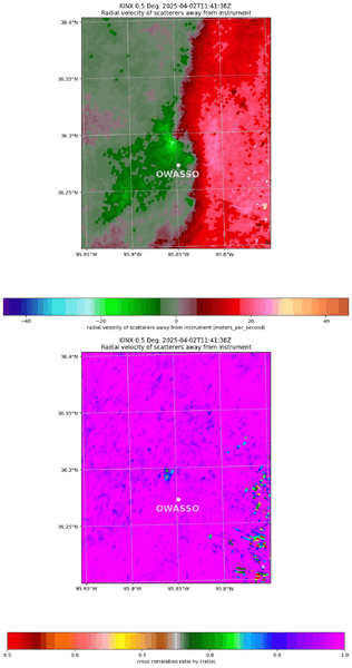
gdlewen
EF4
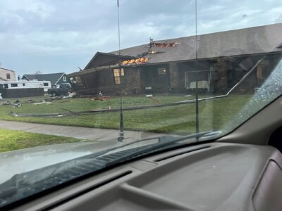
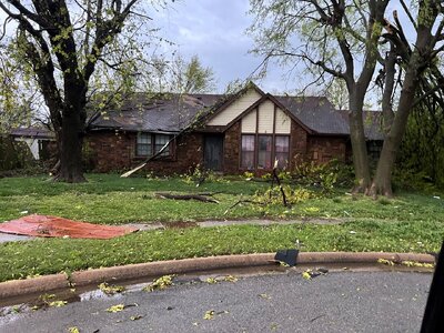
A QLCS tornado passed through my hometown of Owasso, OK early this morning. It looks like the news coverage is still maturing as most online links don't have comprehensive photos of the damage. But here's a start:

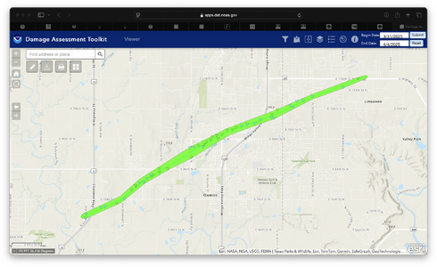
More to post later after I go over my 4/1/2025 chase in N OK yesterday, but the SPC Storm Reports document the path pretty well:
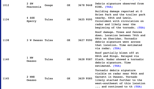
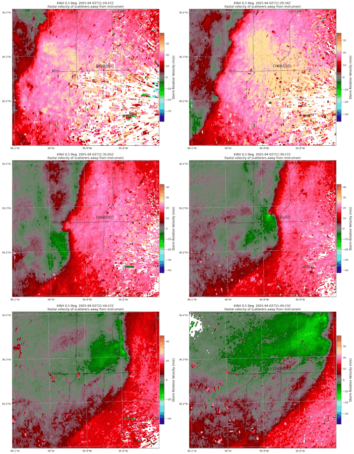
It's interesting all of the reports are based on a combination of observed damage coincident with radar signature of some kind (correlation coefficient or velocity). It passed less than a mile from my house, but all I saw was the inside of a car wash--visbility was much less than 1/4 mile near me.
The weather radio woke me up and I'm not ashamed to admit I was not inclined to try and chase under those conditions even if I had time to get out for it: the westernmost edge of the warning polygon could have been drawn over my house. Anyone else in the Owasso area who might have actually seen this?

Residents begin recovery efforts in Owasso after tornado damages homes
Residents in Owasso are beginning the difficult task of cleaning up after a tornado tore through their community early Wednesday, leaving homes destroyed and power outages across the area.
www.newson6.com
More to post later after I go over my 4/1/2025 chase in N OK yesterday, but the SPC Storm Reports document the path pretty well:

It's interesting all of the reports are based on a combination of observed damage coincident with radar signature of some kind (correlation coefficient or velocity). It passed less than a mile from my house, but all I saw was the inside of a car wash--visbility was much less than 1/4 mile near me.
The weather radio woke me up and I'm not ashamed to admit I was not inclined to try and chase under those conditions even if I had time to get out for it: the westernmost edge of the warning polygon could have been drawn over my house. Anyone else in the Owasso area who might have actually seen this?
Last edited:

