Mike Smith
EF5
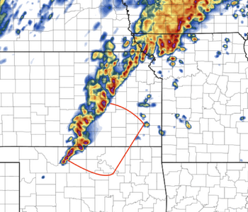
Really surprised no one has started a thread on this one. I believe there is a significant chance of severe supercells and tornadoes over Kansas south of the Turnpike and over Oklahoma east of I-35/north of I-40. Td's in that area will be as high as the mid-60's.
The mesoscale models are pretty insistent CAPE will ≥ 1000j with good turning in the lower levels.
At 7pm CDT, the ECMWF shows eastern Kansas in the right rear of the jet at 250 mph with 90 knot winds.
The one negative is sunset at Ft. Scott, Kansas (to pick a location) is 6:25pm.
The mesoscale models are pretty insistent CAPE will ≥ 1000j with good turning in the lower levels.
At 7pm CDT, the ECMWF shows eastern Kansas in the right rear of the jet at 250 mph with 90 knot winds.
The one negative is sunset at Ft. Scott, Kansas (to pick a location) is 6:25pm.