Dan Robinson
EF5
I awoke in Junction City, grabbed a coffee and headed west after doing my morning data check. There were three areas of interest this day (four if you count the Midwest). The first and primary target was dryline supercells in central Kansas that would have the better upper support and moisture, with the drawback of them potentially not firing until after sunset. The second was the warm front in Nebraska, where daytime supercells were more likely but with meager moisture. The third was north Texas, where daytime storms and better moisture were shown, but only for a short time before the cap squashed them. The cap was very strong this day, and looked to impact all three of those areas to some degree. To add another complication, models had been showing warm front storms back home around St. Louis that I was on a hair-trigger to turn around for. In addition, Tuesday's event in the Midwest looked volatile and worth chasing, so I wanted to be able to make it back for that.
The Texas target was too far away to consider - its distance wouldn’t to allow me to get back to the Midwest setup with enough sleep. Models continued a trend of backing way off of the Midwest activity, so by noon, I was committed to the Plains. Nebraska's moisture issues looked too much to overcome for good storms there.
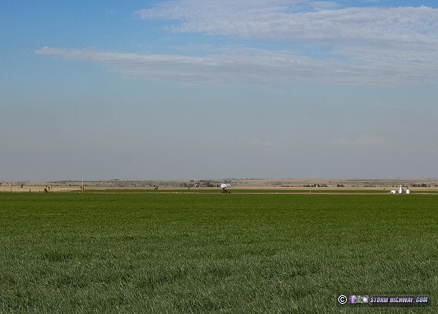
By early afternoon, I had more or less committed to the Kansas target. With those storms not expected to fire until sunset or afterward, there was a lot of time to make the drive and take in the beloved Plains scenery and landscapes. I went to Russell, then headed south on US 281.
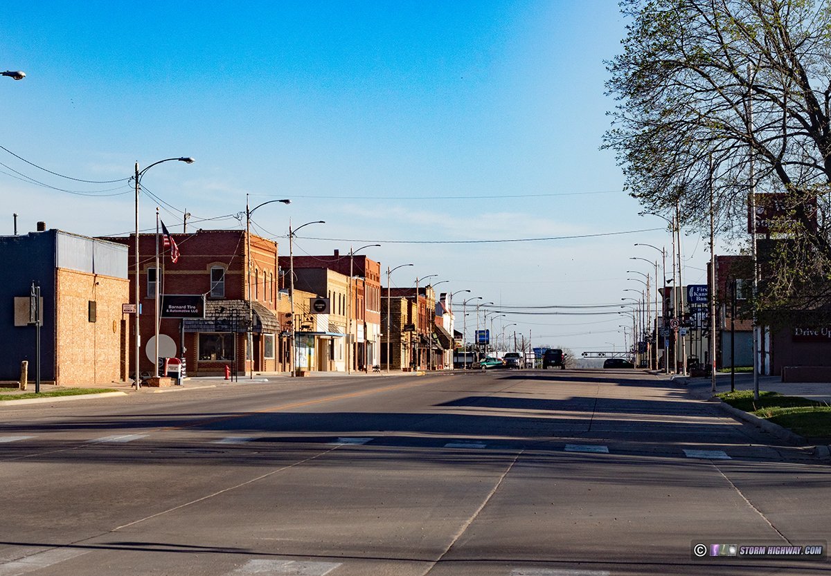
I passed through Hoisington in the late afternoon light...
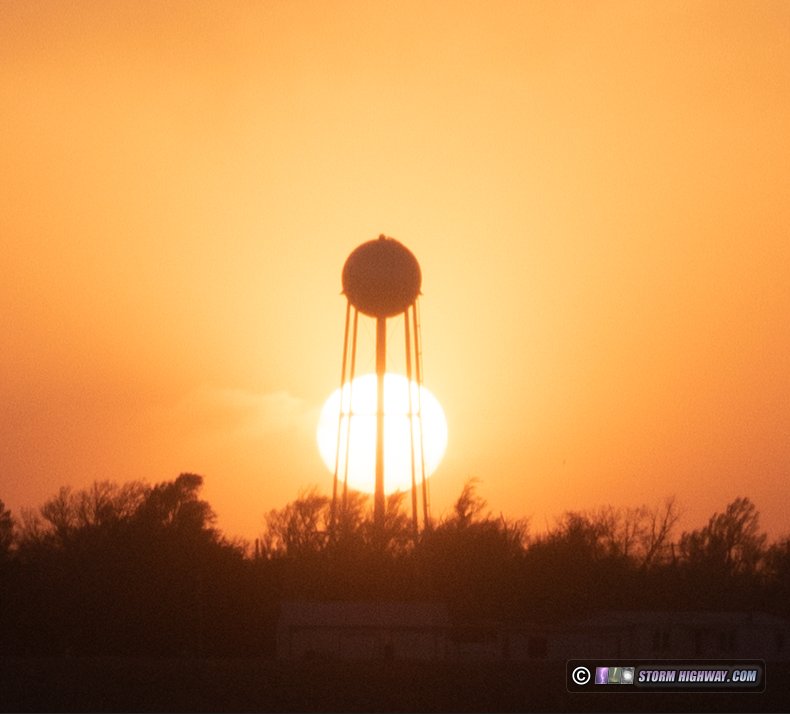
...then drove through Rozel at sunset.
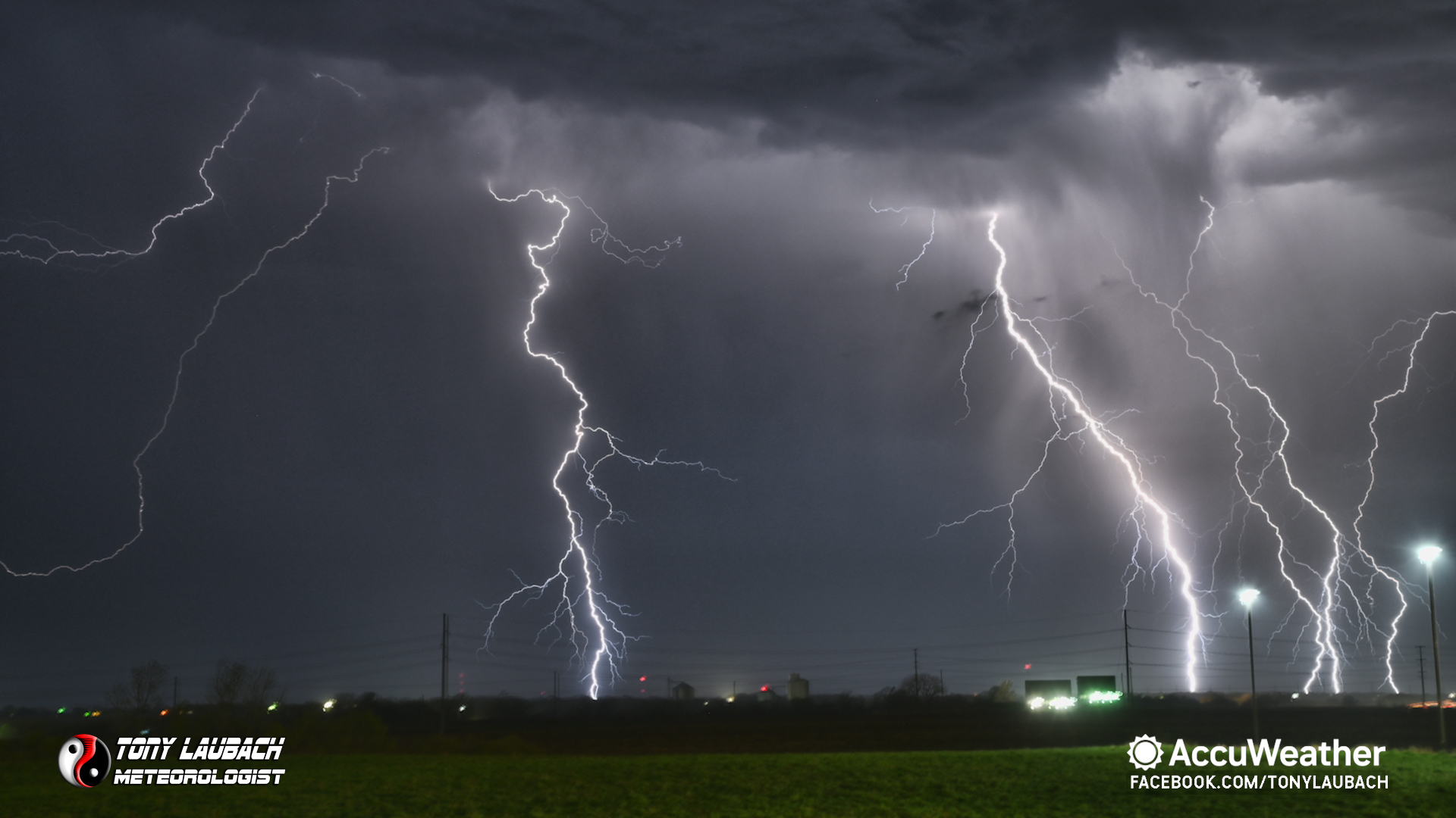
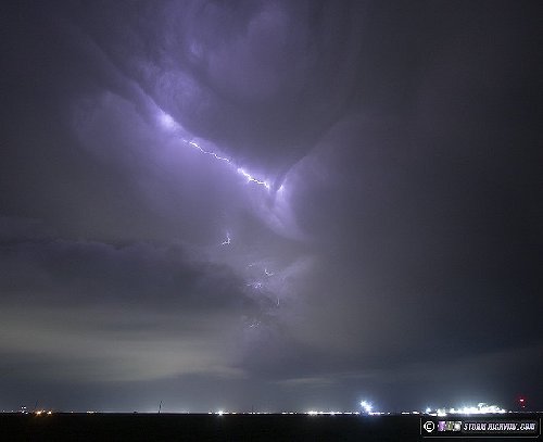
Radar showed the dryline was retreating to west of a Dodge City to Wakeeney line, and the last few visible satellite images before darkness fell showed agitated cumulus starting to appear along it. I headed west to Jetmore, then south to Dodge City as the first storm finally fired at 10PM. Lightning was starting to pick up, so I set up on the east side of town to shoot some stills. I couldn't see the updraft base yet from this point, and lightning channels weren't all that photogenic. There was this interesting pattern in the cascading forward flank precip illuminated by lightning:
I had expected the storm to start turning right enough to make US 50 the better route to stay with the storm, but it was struggling to organize and still moving mostly north. So, I headed north on 283 to stay with it. I had to transect the core in Jetmore to get back ahead of the storm on 156 east. After this, the storm was not looking like it was going to do anything interesting in tornado, structure or lightning, so I decided to call the chase and start heading northeast so I'd still have about 7 hours to sleep before Tuesday's event. I stopped at Salina for the night.
The Texas target was too far away to consider - its distance wouldn’t to allow me to get back to the Midwest setup with enough sleep. Models continued a trend of backing way off of the Midwest activity, so by noon, I was committed to the Plains. Nebraska's moisture issues looked too much to overcome for good storms there.
By early afternoon, I had more or less committed to the Kansas target. With those storms not expected to fire until sunset or afterward, there was a lot of time to make the drive and take in the beloved Plains scenery and landscapes. I went to Russell, then headed south on US 281.
I passed through Hoisington in the late afternoon light...
...then drove through Rozel at sunset.
Radar showed the dryline was retreating to west of a Dodge City to Wakeeney line, and the last few visible satellite images before darkness fell showed agitated cumulus starting to appear along it. I headed west to Jetmore, then south to Dodge City as the first storm finally fired at 10PM. Lightning was starting to pick up, so I set up on the east side of town to shoot some stills. I couldn't see the updraft base yet from this point, and lightning channels weren't all that photogenic. There was this interesting pattern in the cascading forward flank precip illuminated by lightning:
I had expected the storm to start turning right enough to make US 50 the better route to stay with the storm, but it was struggling to organize and still moving mostly north. So, I headed north on 283 to stay with it. I had to transect the core in Jetmore to get back ahead of the storm on 156 east. After this, the storm was not looking like it was going to do anything interesting in tornado, structure or lightning, so I decided to call the chase and start heading northeast so I'd still have about 7 hours to sleep before Tuesday's event. I stopped at Salina for the night.