Jesse Risley
Staff member
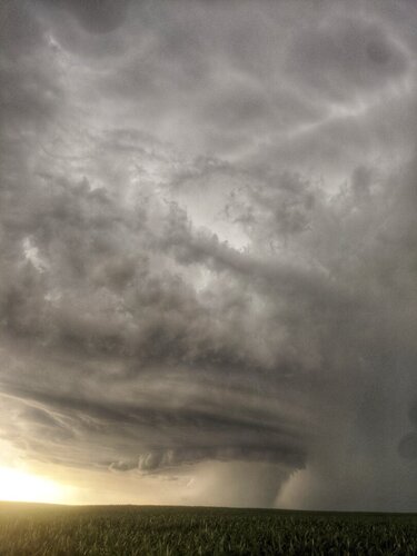
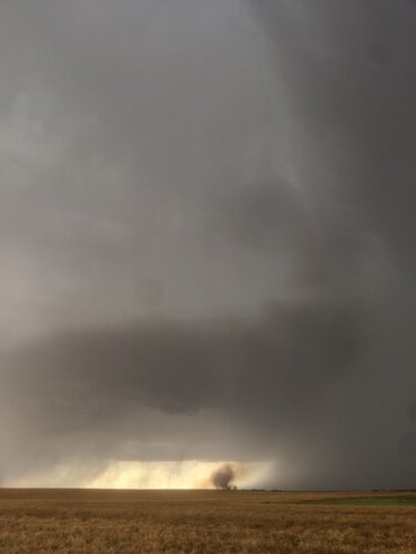
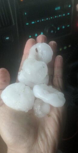
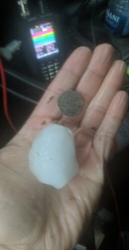
A diffuse triple point set up Wednesday evening across North Central KS. An area of relatively high CAPE co-located with the warm front as a surface trough ignited storms by late afternoon north of Lenard. We initially played with a storm north of Kinsley before dropping south near Belpre to intercept a cell that produced excellent structure a hail up to the size of baseballs in the core. Once storms merged into clusters the threat transitioned into damaging winds.
