Here’s one from the other side of the Mississippi River. I had been watching this event for a dew days prior. Originally on the fence about chasing, I committed after reviewing 00z model guidance. With impressive wind profiles and sufficient moisture, the key ingredient I felt this event was going to hinge on was instability, but with 500-1000J/kg SBCAPE bubbling northward, I pulled the trigger.
Left home at approx. 6:00 am local time. Originally targeted the warm frontal boundary near the developing surface low/triple point, choosing Evansville, IN as an initial staging area, but that location was conditional on the location of the boundaries once I got there, as well as storm motion. I was fully prepared that I would likely need to move south into KY to (a) avoid large hail, (b) get into the better parameter space should the frontal boundary not pan out, and (c) not get pinched against the Ohio River network by advancing storms.
Initial storms within the warm sector appeared disorganized and messy as they moved east, leaving me to focus on a trailing linear segment that looked better organized than anything else out there at the time. I projected its forward path into a pool of decent CAPE atop a ridge of low level Theta-E, so I allowed it to lure me into the questionable chase terrain and road network of western KY, right in the middle of the SPC 10% hatched area.
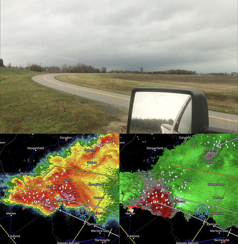
I drove down to Madisonville, KY. Any further south would have put me in densely forested areas with even poorer road options, and a relatively clear area extending to the NW of town was going to give me my only shot of decent visibility as the storm approached down that very path.
The tail end was starting to look a little more organized at this point, generating its own MD, where forecasters predicted it would become more surface-based and mature into an honest-to-goodness supercell as it moved into Kentucky. Fantastic.
And in the words of my friend Mr. Daughtry,
“I was chasing, but nothing was all I found.”

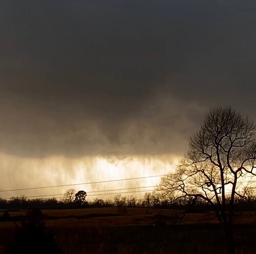
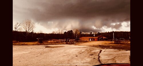
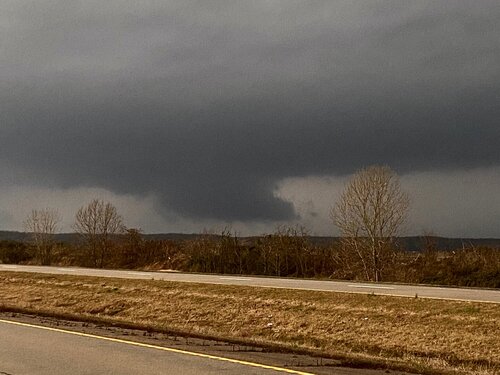
The grungy, hazy environment reminded me a lot of the May 20, 2019 OK event, and visibility was pretty not great. Surface winds were backing as the storm approached, with warm inflow rushing in from the southeast. As the updraft region came into view, I remember thinking, “that’s it?” Low-contrast, junky base with no features of interest. The storm was organized enough to produce large hail, gusty wind, and some brilliant CGs, but little else. I stuck around just a little longer, but eventually had to move east, then south to stay ahead of it (specifically ahead of the hail). I calculated my departure time on having to drive back through town, where sirens were wailing.
A large chunk of Highway 70 was closed in both directions south of town, forcing me to take the Interstate to move around the storm, but it still got away from me as it moved into the hilly forests to the east. I believe it got its act together and picked up a Tornado Warning a few counties to the east, somewhere near Mammoth Cave National park, but I don’t know if it ever produced.
At this point I headed west a bit, thinking outflow from the storm may set up a boundary and provide some lift (it didn’t), or that the remainder of the trailing cold front would kick up some additional activity in the area (nope). As it turned out, that frontal boundary was further west than I thought it was. An isolated storm along it west of the Mississippi picked up a Tornado Warning west of Poplar Bluff, MO, and it became clear that said storm was going to be the only remaining play. I started heading that way, along with most others in the area. Eventually I stopped and did a reality check: I was over 90 minutes away, and even if the storm held together that long, it’d be dark by the time I got there. LE reported a tornado,
but I haven’t seen any other reports. If someone was on that storm, maybe they can add a post on this thread. You guys beat me to it.
I threw in the towel at 7:00 pm local time and headed back home, arriving at about 4:30 am (+1 hr time change heading home). Total chase time: 22.5 hrs. Total miles driven: approx. 1,100.
Positive Takeaways: I was able to shake off the rust from the winter, scratch the chasing itch, didn’t get blasted with supersized hail, and I got to experience 70 degree temps for the first time this year.


