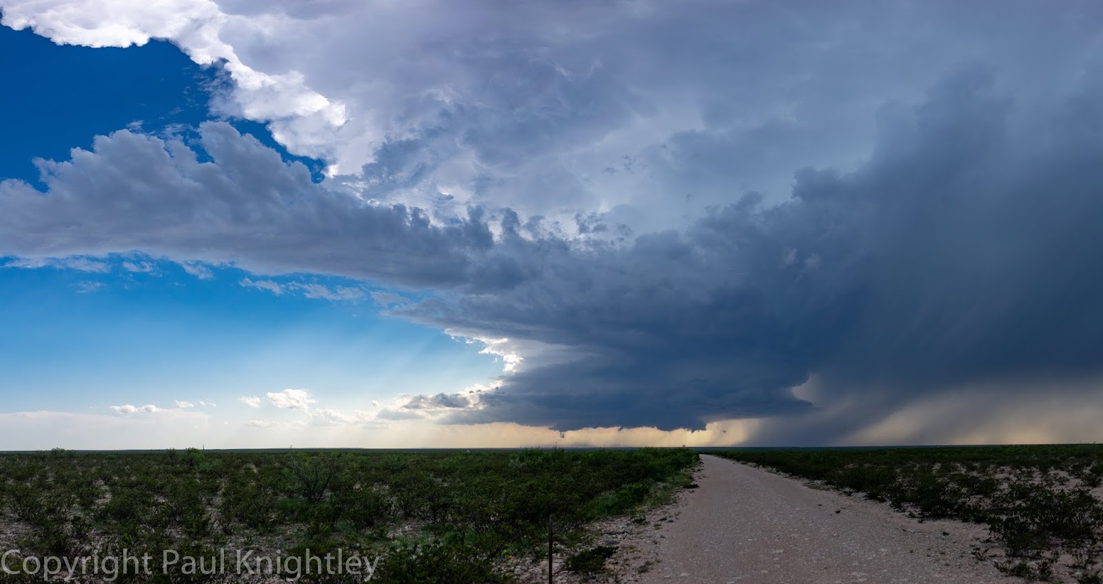
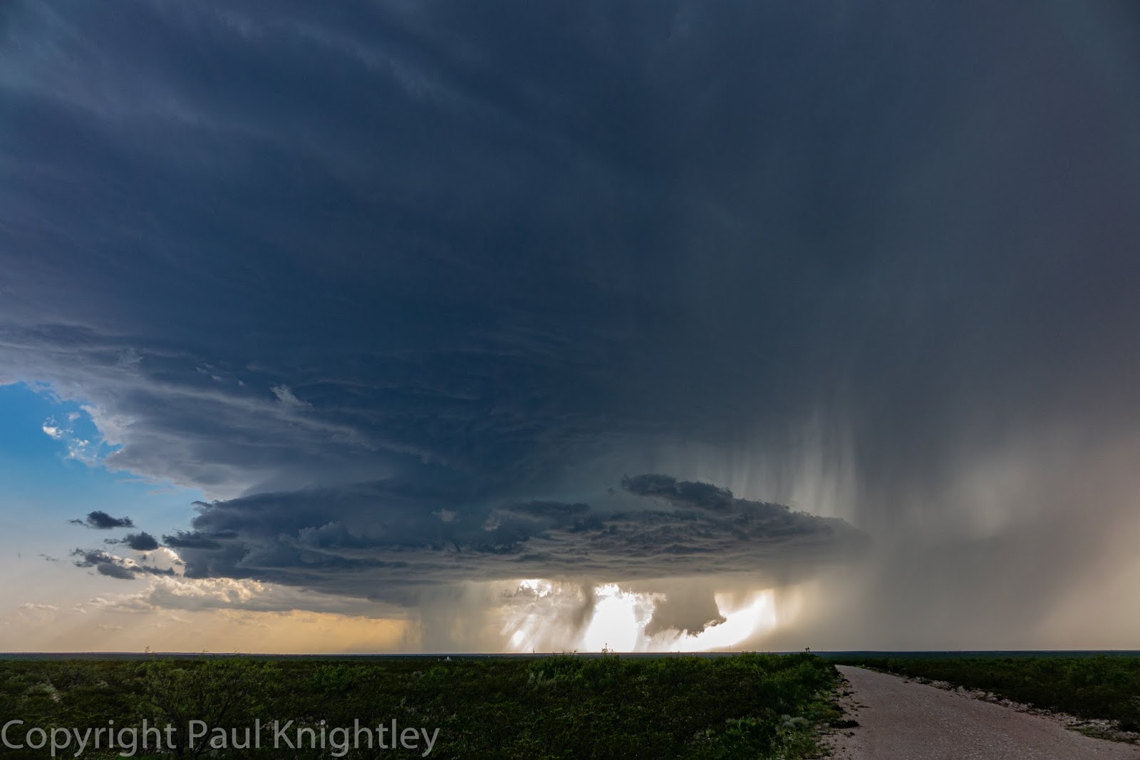
Quincy Vagell
EF4
This was almost not a chase day. After spending most of the previous day chasing in far southwestern Texas, I was limited to either chasing in Texas again or going home to Oklahoma City. The possibility of Kansas was ruled out, as I didn't want to spend all night on May 31st driving, followed up by another long drive to start June 1st.
During the morning, my initial target was the Texas panhandle. I was most focused on the eastern part of the panhandle, where an outflow boundary was present. One of the biggest (apparent) limiting factors during this chase was deep layer shear. As a general rule, 30 knots of deep layer shear is the benchmark. Supercells are unlikely if there is less shear and even shear of just 30-35 knots will sometimes only result in transient supercells or brief supercellular structure. Anyway, deep layer shear was forecast to be on the order of 30-40 knots by mid to late afternoon with the best shear being north of I-40. South of there, shear would be well under 30 knots, for most of peak heating.
Convection initiated relatively early in the afternoon along the outflow in the eastern panhandle, but I had my eye on a discrete storm moving from New Mexico into the northwestern part of the panhandle. It was going to take a couple of hours to get into position, but with better shear up there and no downstream obstructions to impede the storm, I had a feeling that it would still be ongoing by the time that I got there.
I arrived in Dalhart, TX as the storm was still in progress. It was somewhat less impressive on radar and structurally, there was not a lot of interest. Since I had committed to driving about two hours away from my initial target, my rule is to give the storm an opportunity before I bail out.
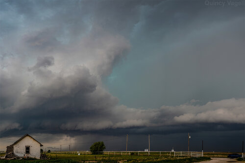
Well, over time, structure with the storm became better defined. Low-level rotation was not really evident and the storm appeared to be slightly elevated. Even with that being the case, wind profiles were forecast to strengthen with time and lowering LCLs through the late afternoon/early evening could help this storm become surface-based.
I followed the storm into the Hartley area and it looked like it was trying to become rooted at the surface. Low-level rotation improved and it was not long before the storm became tornado-warned. I stayed with the storm for quite some time after this, but I never really observed anything close to producing a tornado. Regardless, the storm continued to persist and structure evolved over time with rarely a dull moment, visually.
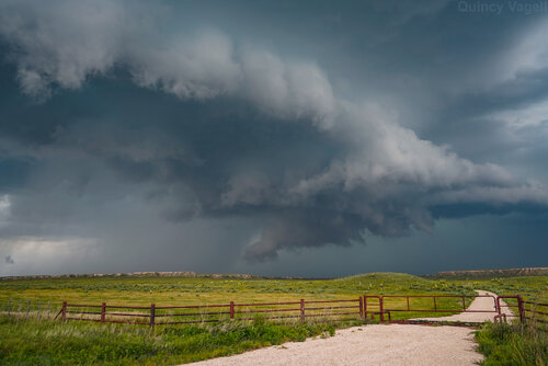
Around the Channing area, the storm was beginning to ingest smaller cells to the south and I decided to hang around to see what would happen. However, westward accelerating outflow was the storm's demise, at least in terms of potential to produce a tornado.
Just as I began to bail away from the storm, the boundary interaction produced some very interesting low-level cloud structures. Again, this was not indicative of anything close to a tornado, but I did not expect any tornadoes. As a personal note, I create a forecast the morning of every storm chase and I predict what the odds are of me seeing a tornado. For a lot of chases, the odds are 20% or 30%. The odds get higher if a tornado outbreak is likely. For this chase, the odds were set at "<10%," which usually means I don't expect a tornado to form in my area. If I choose 10%, I expect that in 9 out of 10 similar chases, I will not see a tornado.
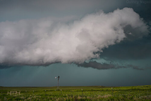
My main point is that not seeing a tornado was not an issue. If anything, I was thrilled to see any structure at all. Going into the chase, I had very low expectations and knew that I might not even see a supercell at all. I did not expect to chase a supercell for a few hours and then after several photo opportunities even after the storm interacted with cool outflow.
I did bail after taking this last photo, which is quite possibly my favorite chase photo from this year. The timing was great and I have a fascination with capturing storm structure in the vicinity of old windmills, that dot the Plains landscape. There is something about "panhandle magic" and this chase solidified the area as my favorite place to storm chase. While western Kansas has some great memories as well, I have seen the most diverse and sometimes prolific structure in the Texas panhandle.
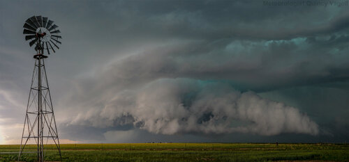
When you start a chase by having some of the lowest expectations of any chase thus far in the year (and there have been dozens) and the chase ends up being one of your best of the year, that makes it really special. It was a fitting way to end a stretch of 13 consecutive chase days.
The original storm photographed above went on to evolve into a small MCS that blew through the Amarillo area with hail and wind gusts to around 90 miles per hour. No too bad for a setup that looked quite marginal in terms of severe thunderstorm potential.
I went east on I-40 to head home, but to also inspect another storm near Groom. This storm pulsed up and went on to produce at least golf ball-sized hail. Unfortunately, I came up to an overpass when the hail was near its peak size and everyone was parked under the overpass. Not only was I-40 blocked, but the service roads were as well. Some vehicles were even parked in the ditch by the median, blocking traffic flow. I managed to sneak around off the service road and just barely get through.
It's unfortunate that so many people still park under overpasses during severe weather. They are lucky that there was not a tornado threat. Hey, I can't completely fault the thought behind it. If big hail is falling, it's an instinctive move to park under something that may shield the hail. That mindset quickly becomes flawed once you start blocking traffic and turn the situation into one that is potentially much more dire for a large number of other motorists. What if there was an emergency and officials needed to get to the other side of the overpass?
During the morning, my initial target was the Texas panhandle. I was most focused on the eastern part of the panhandle, where an outflow boundary was present. One of the biggest (apparent) limiting factors during this chase was deep layer shear. As a general rule, 30 knots of deep layer shear is the benchmark. Supercells are unlikely if there is less shear and even shear of just 30-35 knots will sometimes only result in transient supercells or brief supercellular structure. Anyway, deep layer shear was forecast to be on the order of 30-40 knots by mid to late afternoon with the best shear being north of I-40. South of there, shear would be well under 30 knots, for most of peak heating.
Convection initiated relatively early in the afternoon along the outflow in the eastern panhandle, but I had my eye on a discrete storm moving from New Mexico into the northwestern part of the panhandle. It was going to take a couple of hours to get into position, but with better shear up there and no downstream obstructions to impede the storm, I had a feeling that it would still be ongoing by the time that I got there.
I arrived in Dalhart, TX as the storm was still in progress. It was somewhat less impressive on radar and structurally, there was not a lot of interest. Since I had committed to driving about two hours away from my initial target, my rule is to give the storm an opportunity before I bail out.

Well, over time, structure with the storm became better defined. Low-level rotation was not really evident and the storm appeared to be slightly elevated. Even with that being the case, wind profiles were forecast to strengthen with time and lowering LCLs through the late afternoon/early evening could help this storm become surface-based.
I followed the storm into the Hartley area and it looked like it was trying to become rooted at the surface. Low-level rotation improved and it was not long before the storm became tornado-warned. I stayed with the storm for quite some time after this, but I never really observed anything close to producing a tornado. Regardless, the storm continued to persist and structure evolved over time with rarely a dull moment, visually.

Around the Channing area, the storm was beginning to ingest smaller cells to the south and I decided to hang around to see what would happen. However, westward accelerating outflow was the storm's demise, at least in terms of potential to produce a tornado.
Just as I began to bail away from the storm, the boundary interaction produced some very interesting low-level cloud structures. Again, this was not indicative of anything close to a tornado, but I did not expect any tornadoes. As a personal note, I create a forecast the morning of every storm chase and I predict what the odds are of me seeing a tornado. For a lot of chases, the odds are 20% or 30%. The odds get higher if a tornado outbreak is likely. For this chase, the odds were set at "<10%," which usually means I don't expect a tornado to form in my area. If I choose 10%, I expect that in 9 out of 10 similar chases, I will not see a tornado.

My main point is that not seeing a tornado was not an issue. If anything, I was thrilled to see any structure at all. Going into the chase, I had very low expectations and knew that I might not even see a supercell at all. I did not expect to chase a supercell for a few hours and then after several photo opportunities even after the storm interacted with cool outflow.
I did bail after taking this last photo, which is quite possibly my favorite chase photo from this year. The timing was great and I have a fascination with capturing storm structure in the vicinity of old windmills, that dot the Plains landscape. There is something about "panhandle magic" and this chase solidified the area as my favorite place to storm chase. While western Kansas has some great memories as well, I have seen the most diverse and sometimes prolific structure in the Texas panhandle.

When you start a chase by having some of the lowest expectations of any chase thus far in the year (and there have been dozens) and the chase ends up being one of your best of the year, that makes it really special. It was a fitting way to end a stretch of 13 consecutive chase days.
The original storm photographed above went on to evolve into a small MCS that blew through the Amarillo area with hail and wind gusts to around 90 miles per hour. No too bad for a setup that looked quite marginal in terms of severe thunderstorm potential.
I went east on I-40 to head home, but to also inspect another storm near Groom. This storm pulsed up and went on to produce at least golf ball-sized hail. Unfortunately, I came up to an overpass when the hail was near its peak size and everyone was parked under the overpass. Not only was I-40 blocked, but the service roads were as well. Some vehicles were even parked in the ditch by the median, blocking traffic flow. I managed to sneak around off the service road and just barely get through.
It's unfortunate that so many people still park under overpasses during severe weather. They are lucky that there was not a tornado threat. Hey, I can't completely fault the thought behind it. If big hail is falling, it's an instinctive move to park under something that may shield the hail. That mindset quickly becomes flawed once you start blocking traffic and turn the situation into one that is potentially much more dire for a large number of other motorists. What if there was an emergency and officials needed to get to the other side of the overpass?
Last edited:

