JamesCaruso
Staff member
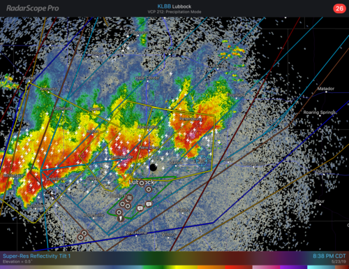
First day of chase vacation. Adjusted initial target of Dimmit and dropped south to Plainview to stay southeast of the front and play the dryline there. A storm did go up south of Dimmit and a pair of cells southwest of LBB near Plains / Denver City. Didn’t like the storm near Dimmit as it was on the cool side of the boundary. Didn’t want to commit right away to the Denver City storms. Winds had backed and strengthened in PVW as well as LBB so thought there might be additional development on the dryline closer to my latitude. But was also concerned about the diffuse dryline with its lack of convergence, as well as the strong cap. Based on some insights from @Dan Robinson posted in the Events thread, we finally decided to head south and intercepted the closer cell of the pair. Writing this a few days later, I can’t remember for certain but I believe the northeastern one of the pair (the one we were on) died off and the other became the dominant survivor. The later radar image that I saved still shows two cells, but I think the one just to the west in that image was newer. I just can’t remember for sure.
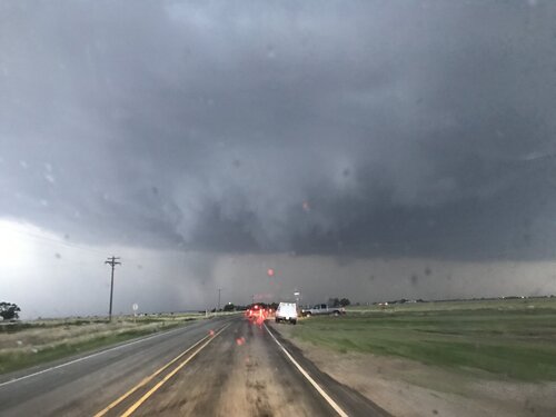
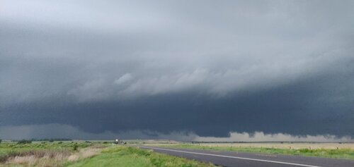
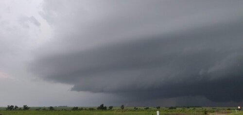
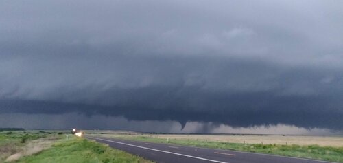
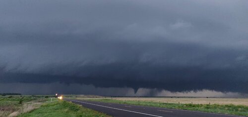
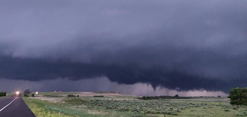
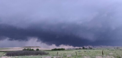
Anyway, nothing much happened, the best it ever looked to me was in this picture below, taken at 8:20pm CDT. The radar image posted was from about 20 minutes prior.
Was really frustrated to learn I had missed the tornados up in the northeastern panhandle and northwestern OK, on a cold frontal boundary with northerly winds behind it no less...