• While Stormtrack has discontinued its hosting of SpotterNetwork support on the forums, keep in mind that support for SpotterNetwork issues is available by emailing [email protected].

2019-05-23 REPORTS: NE/KS/OK/TX

JamesCaruso

Staff member
Joined
Jul 5, 2009
Messages
1,935
Location
Newtown, Pennsylvania
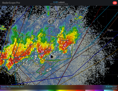
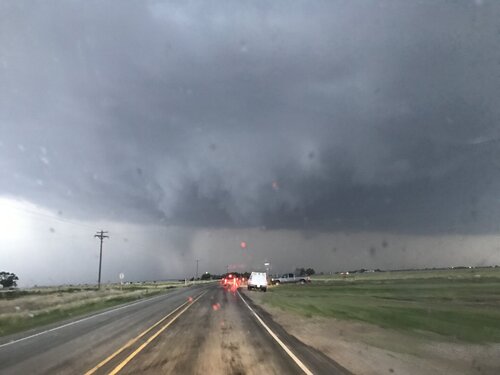
First day of chase vacation. Adjusted initial target of Dimmit and dropped south to Plainview to stay southeast of the front and play the dryline there. A storm did go up south of Dimmit and a pair of cells southwest of LBB near Plains / Denver City. Didn’t like the storm near Dimmit as it was on the cool side of the boundary. Didn’t want to commit right away to the Denver City storms. Winds had backed and strengthened in PVW as well as LBB so thought there might be additional development on the dryline closer to my latitude. But was also concerned about the diffuse dryline with its lack of convergence, as well as the strong cap. Based on some insights from @Dan Robinson posted in the Events thread, we finally decided to head south and intercepted the closer cell of the pair. Writing this a few days later, I can’t remember for certain but I believe the northeastern one of the pair (the one we were on) died off and the other became the dominant survivor. The later radar image that I saved still shows two cells, but I think the one just to the west in that image was newer. I just can’t remember for sure.

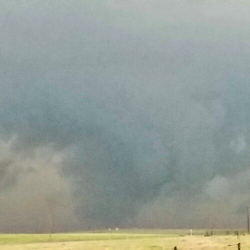
Anyway, nothing much happened, the best it ever looked to me was in this picture below, taken at 8:20pm CDT. The radar image posted was from about 20 minutes prior.

Was really frustrated to learn I had missed the tornados up in the northeastern panhandle and northwestern OK, on a cold frontal boundary with northerly winds behind it no less...
 

Attachments

  • 1C3E26F9-C374-4DB3-94CF-1FB50025C1EA.png
    1C3E26F9-C374-4DB3-94CF-1FB50025C1EA.png
    2.5 MB · Views: 0
  • 669E3DF9-78AB-4058-877D-BE3C4494951C.jpeg
    669E3DF9-78AB-4058-877D-BE3C4494951C.jpeg
    130.1 KB · Views: 0
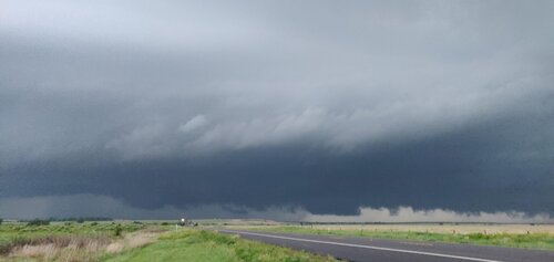
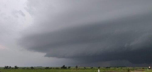
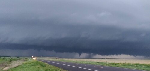
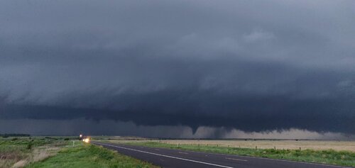
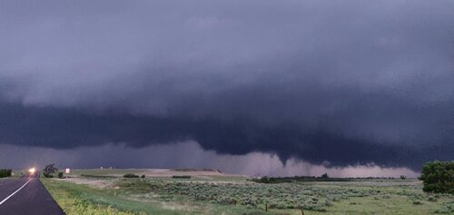
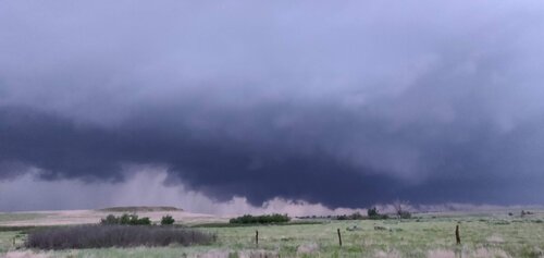
Just started chasing again this year after a long break. First tornado spotted in several years. Spotted a tornado briefly touching down here and there east of Follett, TX.
 

Attachments

  • IMG_20190523_202551.jpg
    IMG_20190523_202551.jpg
    183.3 KB · Views: 0
  • IMG_20190523_202600.jpg
    IMG_20190523_202600.jpg
    83 KB · Views: 0
  • IMG_20190523_202842.jpg
    IMG_20190523_202842.jpg
    160.1 KB · Views: 0
  • IMG_20190523_202845.jpg
    IMG_20190523_202845.jpg
    185.4 KB · Views: 0
  • IMG_20190523_202952.jpg
    IMG_20190523_202952.jpg
    240.5 KB · Views: 0
  • IMG_20190523_203056.jpg
    IMG_20190523_203056.jpg
    113.3 KB · Views: 0
We missed a layup due to overconfidence following 5/22. Started in Wichita to drive all the way to Canadian. Lucky for us CI was later than progged so we never felt rushed.

Parked along US-83 and FM-281/29 intersection for about 30 minutes watching beautiful mid-level structure approach, though hazy. Figured storm would cross US-83 and leave little option for following. Would just be a brief show. Now a wise chaser would be thankful for what roads and Nature give. Saw many document the Canadian wedge from this location (approx 00Z). What did WE do?

Well, the southern cell looked like it might parallel US-60 for a longer viewing time, iff a tornado formed. So while everyone back at the intersection was watching the wedge we were navigating on FM roads from Miami, as the south storm did NOT follow US-60. Lesson here is obvious: Take what the day gives. Don't force it.

So we approached this thing about an hour later (almost 01Z) and believe it is scud. However I'm posting in case anyone else was closer and saw the same thing. From JCT of FM-283 and FM-2699 looking almost due north 3-5 miles.Texas_Scud.jpg
 
I left Oklahoma City by midday and headed to Amarillo, where I found the stationary frontal boundary slowly sagging southward through the city. Not good for a chase day in the Panhandle! Feeling that this would ruin the chances for tornadoes from Amarillo northward, I headed south on I-27 to isolated storms southwest of Lubbock. Storms developed just behind me as I drove south, but they were all behind the cold front. This had the effect of accelerating the cold front's southward push even more. The environment in the Lubbock region had problems as well, mainly lesser low-level shear and a stout cap with mesoanalysis indicating 700mb temps of 12-14C. Storms would struggle in every way, but I didn't see a better option. The storms near Lubbock were the only ones that had a shot to organize before the cold front arrived and killed their low levels.

As I feared, the cap started supressing the storms as I arrived on them at Ropesville. The other problem I was having was visibility. Smoke from Mexican wildfires had created a severe haze, making storm visibility difficult even two or three miles away. It was all for naught: the cap kept the Lubbock area storms from organizing until the cold front finally reached the metro area. The storms flared for some time thereafter, producing little more than heavy rain and (mostly non-photogenic) lightning.

may2319a.jpg

Downward positive CG lightning initiates upward leader near Ropesville, TX

I called the chase after sunset and headed to my hotel in Plainview, where I read about the northern storms managing to fight back the cold front and produce a few large tornadoes.
 
Back
Top