• While Stormtrack has discontinued its hosting of SpotterNetwork support on the forums, keep in mind that support for SpotterNetwork issues is available by emailing [email protected].

2017-02-28 REPORTS: IL/IN/MO/AR

Joined
Apr 14, 2014
Messages
44
Location
Norman, OK
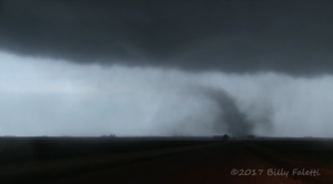
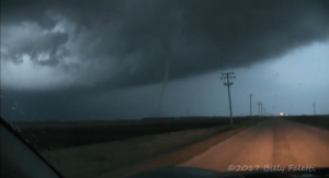
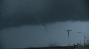
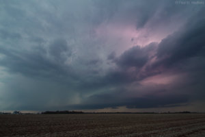
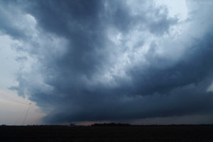
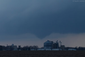
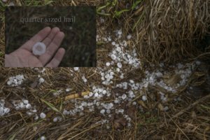
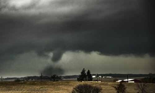
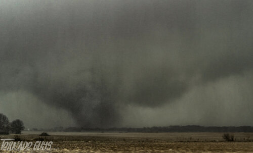
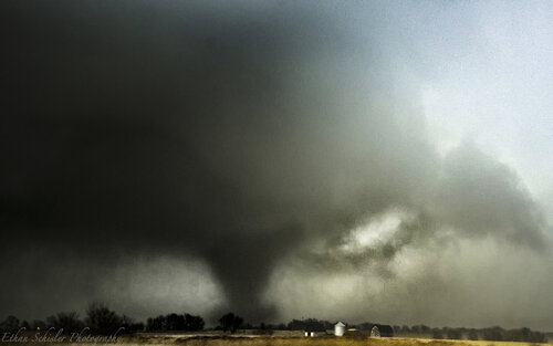
What a day. I chased with Matt Zuro and Daniela Barrios, starting off at my house near Granville, IL, and headed west to the storms near Bradford. We saw a wall cloud, but no sign of the Bradford tornado. We headed east, then bailed from the cell that produced the tornado near Standard (about a mile from my house) and the one that struck Ottawa and Naplate. Defeated, we raced down I-39 to catch the Washburn storm. Sure enough, upon taking the exit near Wenona, a wedge tornado was looming in the distance. Afterward, there were 2 other smaller tornadoes near Dana and Long Point, IL, one of which destroyed a house. We stayed with the family until help arrived. All in all, we saw 3 tornadoes, had isolated hail up to quarter size, and RFD winds to around 70 mph.

Video:

Frame grabs:
Screenshot 2017-03-01 at 8.48.13 AM.png
Screenshot 2017-03-01 at 8.49.20 AM.png
Screenshot 2017-03-01 at 8.50.26 AM.png
Screenshot 2017-03-01 at 8.49.55 AM.png
 
I set up at my target Metamora, IL at about 3:00pm. Saw the storms going up to my west on radar near Galesburg so I decided to take a gamble and went after the tail end storm rather than staying put like I had originally planned to. As soon as I got to the tail end storm near Toulon, a wall cloud formed quickly and within a minute dropped a very brief tornado that had to have been on the ground for only maybe 30 seconds or so. Didn't even fully condense, but it still kicked up a little bit of dust. Afterward, I tried to play catch up with the storm that would drop the Ottowa tornado which ended up being a mistake. I rolled into town about 10 minutes after it hit.

To my dismay, the Washburn tornado had touched down maybe 10-15 miles to the north of my original target. I'm going to be salty about that one for the rest of the season.

Standard power pole in frame picture of the brief tornado near Toulon, IL:
View attachment 1e42e8637e3f7b1ccd78e405a84c3e73.jpg
 
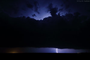
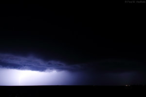
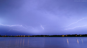
I left Madison at 2:00, made Rockford around 3. Saw that storms were developing south and west. I didn't think I could really make it south without having to core punch the cells, so I headed west to Freeport, huge mistake. We were trying to get on the tornado warned cell near Davenport, but by the time we got into the tornado warning it got canceled. We drove west from Sterling to get a little bit closer to it, but it quickly went linear and accelerated to a pace where we went east for 10 or so miles and still couldn't get back on it. We tried to drop to the southern portion of it but it went linear quickly as well. We ended up in the middle of nowhere shooting lightning. Side note- Coyotes sound super scary shooting lightning in the middle of nowhere
 
Last edited:
I choose the SW MO target as I had to work the morning in KC. I made it to Mt. Vernon as cells fired to my SW. We headed straight South and around Jenkins we watched the Northern cell hook but struggled to do anything. We followed those cells back to Springfield but let them go as they were hauling ass and with terrain we were not going to catch them. We ate dinner in Springfield then got in position for the latest MD stating storms in SE KS would track over to us along 71 highway. We saw once again cells trying to hook and some lowering but encountered nothing but hail. Disappointing chase but that’s what happens sometimes.

Looking forward to a possible chase again on Monday through looking worse. Congratulations everyone that scored especially if it was your first February tornado.
 
Last edited:
4km nam painted a supercell developing across the mid-state so for being unable to commit to either north or south targets, held out hope that one would manifest and it did. From outside of Palmer in SW Christian County, observed a bowl funnel amidst some of the best early season structure personally experienced yet. The sound of later field particulates streaming out of the SW in advance of the overnight squall line passage from just outside of a warning in Logan County was mildly unsettling for being in complete darkness. Eventual strati-form precip crawlers over Lake Decatur seemed so low you could touch them though the ducks could have cared less.

IMG_0594a.jpg

IMG_0750a.jpg

IMG_3859a.jpg

IMG_0931a.jpg

IMG_0954a.jpg

IMG_1178a.jpg

 
I struggled with where to target on Tuesday... I woke up at 6 a.m., knowing I would have to haul non-stop to Illinois if I was going to choose to chase there. Given the time crunch, the possibility that I could show up too late and the fact that I had to work in Oklahoma City the next day, I opted to stay south. Then the question became, Arkansas or Missouri, with both targets having glaring terrain obstacles.
I drove northeast on I-44, initially focusing on southern Missouri. That area had the best parameter space, with moderate instability and strong shear expected. However, once I got to the Joplin area, I kept thinking back to April 27th, 2014, when I had the same internal battle between southern Missouri and Arkansas and chose the latter, at the last minute. Despite driving several hours out of the way, I dove south on I-49 and decided to head toward Little Rock.

The backstory is that in 2014, I had a defining moment in my chasing career. At the time, I was relatively new to chasing in tornado alley and nearly got too close to a violent tornado in Mayflower, AR. I often daydreamed back to how I screwed up that chase, but I digress from Tuesday...

Even though the terrain and road networks in central Arkansas are only marginally better than southern Missouri, I was hoping that a "tail end charlie" type storm might take advantage of unseasonably large CAPE on the southern edge of the risk zone. Also, central Arkansas is a mini hotspot when it comes to tornadoes. as wind channeling in the valley seemingly regularly leads to supercells becoming tornado warned between Conway and Little Rock.

I almost turned back when convection (that went on to become a long-lived supercell) fired in far northwestern Arkansas, but was mildly intrigued by new convection trying to pop in central Arkansas. As I approached Little Rock, this convection became severe, but I also noticed major traffic backups in Little Rock, likely a combination of rush hour and newly issued tornado warnings to the northwest. Luckily wind shear in the lowest 1km was weaker than in 2014, or this could have been an especially bad scenario with nearly gridlocked traffic.

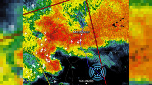
I turned back on I-40 toward Mayflower, as the lead supercell in a cluster became better organized on radar. It was eerily similar to 2014, when junky cells developed near Hot Springs, only to rapidly organize as they moved into the Mayflower area. Just south of Mayflower, traffic slowed and I could see a clearly rotating mesocyclone with a well-defined inflow band. I inched closer and closer, but as the cell moved nearly directly overhead, there was nothing but a ragged looking low cloud base. I turned around in Mayflower and went back for an intercept of the second cell, but the environment was worked over and this storm was less impressive than the first.

The video footage and quality aren't great, but it was a case of deja vu, as a tornado warned supercell passed through Mayflower, AR.
(video replaced below as requested)

I stayed with the storms to about Searcy, AR, before bailing back west, in hopes for a second round. If it wasn't dark, I would have pushed forward, as the terrain gets much better with northeast extent in Arkansas. I couldn't get to southeastern Kansas in time for their tornado warned storms, but I did experience quarter sized hail in southwestern Missouri.

Even though the chase as a whole was not particularly well-planned or executed on my part, I'm very encouraged by how active 2017 has been so far. We've had several chaseable events already and one of the busiest starts to a year in terms of tornadoes since 2008.
mayflower_1.jpg

EDIT: There was an error in my video and I had to re-upload.
 
Last edited by a moderator:
.fb554.jpg
Storm somewhere west of Lomax IL that went on to produce the Washburn IL tornado later. I unfortunately had to abandon this storm to go to work. My GoPro was dead likely from accidently getting turned on in my bag so it should be easier to forget I chased this storm at all.
fb551.jpg
Some hail from said storm.
fb549.jpg
Storm near Gulfport IL as I was heading to work.
fb548.jpg
Squall line moving through Burlington IA on my lunch break.
 
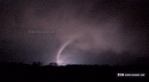
I dumped my video camera's memory card after tonight's (March 6) chase and decided to watch some of last week's files from Christopher - and unbelievably, the camera captured images of the tornado in its rope stage while I was blindly filming out the window. I could hear the tornado, but wasn't looking when the power flashes lit it up. Glad I went through my files!

Full updated chase log:
http://stormhighway.com/feb282017.php

feb2817e.jpg
 

Attachments

  • feb2817f.jpg
    feb2817f.jpg
    50.7 KB · Views: 2
Last edited:
I still need to get my photos and videos offloaded for this day, been so busy with full-time school. I chased this day and targeting the I-80/I-39 corridor. I expected tornadic supercells to develop in West Central Illinois and rapidly move northeastward into a favorable environment that could produce significant tornadoes along the warm front. So I positioned a ways downstream to allow them to mature. I had one mature supercell develop as I was sitting outside of Princeton, IL. We followed it east down I-80 where it produced its first significant tornado near Oglesby, IL...a cone tornado with large debris cloud. We then navigated through the Ottawa, IL area where we watched the large EF-3 tornado on the east side of town from a fairly close distance. I managed to nab a few other tornadoes as I tracked this cell up towards the Morris area. I eventually let it go for the incipient Washburn tornadic supercell that was near the IL river at the time. I raced down I-55 and got into position for that, however I came up about 10 minutes too late to get the last tornadoes on that cell. I counted 5 tornadoes on the day for the last day of February, this was an excellent chase day. Here is a snippet of my chase partner's footage, since I haven't worked through my photographs yet....

Also of note, these were my first February tornadoes ever. I came up short on a chase 3 years ago in West Central Illinois....but managed to redeem myself this year.

Sad to hear about the fatalities caused in Ottawa by one of our tornadoes....never like to hear about that during chasing. It certainly could have been worse though. A pretty crazy start to the 2017 chase season.

 
Figured it was worth resurrecting this thread as today is four years from the day of the biggest tornado chase during my stint living in Illinois and to this day, is the closest a tornado got to hitting my residence (less than 5 miles).

Got 30 minutes to kill, check out my Vlog on that crazy night.

 
Figured it was worth posting some of my photographs from 4 years ago today. These were edited also 4 years ago so not necessarily the best lol. I saw 4-5 tornadoes along I-80 from Standard, IL to Grundy County, IL including a large long lived EF-3 tornado near Naplate/Ottawa which unfortunately caused fatalities. I dropped south to the Washburn, IL supercell in Livingston County, IL as the last tornado dissipated. Overall a great chase for late February and a start to a very active 2017 season for myself. Standard IL strong tornado.jpg
Standard, IL EF1 Tornado

Naplate IL Violent Wedge.jpg
Naplate, IL EF3 Tornado

Naplate IL EF3 Tornado.jpg

Ottawa/Naplate IL EF3 Tornado doing damage.

I have other photos from this day, but can't seem to find them for the life of me.
 
Back
Top