Carl Jones
Enthusiast
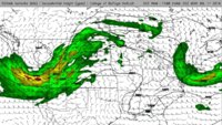
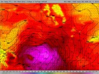
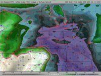
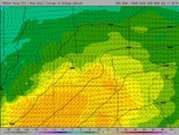
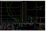
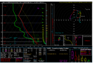
Guess I'll get this ball rolling. Guidance shows a potent s/w moving out of the PAC-NW and negatively tilting into the Northern Plains. In response, a sub-995 mb surface low is progged to form somewhere near ND/SD/MT border intersection per 7/9 00Z NAM. Low-level moisture return ahead of the s/w is already underway in western Dakotas with guidance suggesting sfc dwpts in low to mid 70s over much of ND, eastern SD, and portions of southern MB. An overspreading EML and substantial capping inversion should prohibit cloud coverage during diurnal cycle boosting temps perhaps into the 90s within ND, even 100s in SD. Near dry adiabatic lapse rates from EML over low-level temp/dwpt profiles should yield very strong instability, i.e. AOA 4K MLCAPE. H7 10C line extends into northern ND which may prove problematic for areas closer to the low/WF. As the sfc low forms, a more or less E/W draped warm front will host the best moisture content near the ND/SD border with a N/S dry line in central SD. Cap should be strong enough to really prevent anything forming in eastern SD. Low-level winds do not look all impressive in magnitude, but make up in directional shear north of warm front. As per usual, evening LLJ gets things really ramping up just as inversion sets back in.
Now that's out of the way, typical triple point action just east/northeast of sfc low should produce in an area between Dickinson, Bowman, and Bismarck during late afternoon/early evening, but I am willing to say a supercell or two forms further north/east closer to the H7 10C line, perhaps more towards Bismarck. Given low-level directional shear and CAPE, wouldn't be surprised if decent tornado chance builds if we can get discrete enough without convective interference from neighboring cells before nocturnal inversion sets in.


Now that's out of the way, typical triple point action just east/northeast of sfc low should produce in an area between Dickinson, Bowman, and Bismarck during late afternoon/early evening, but I am willing to say a supercell or two forms further north/east closer to the H7 10C line, perhaps more towards Bismarck. Given low-level directional shear and CAPE, wouldn't be surprised if decent tornado chance builds if we can get discrete enough without convective interference from neighboring cells before nocturnal inversion sets in.
