Lanny Dean
EF5
After having missed the 24th DDC event due to miscommunication and being out of position for whatever reason, we finally arrived and staged in McPherson early afternoon with many other folks. Watching the northern boundary, we collectively decided to go north on the developing cell nw of Salina. While we had the tour guests, we also had a support vehicle (@Marcus Diaz )
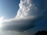
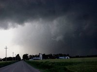
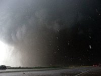
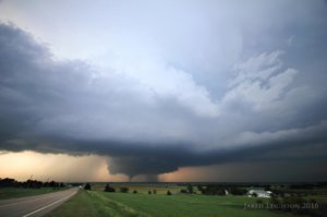
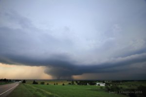
Racing north on 35 past Salina, a large lowered base came into view with attendant large wall cloud. Roughly 3 miles south of 18 HWY we documented the first cone type tornado while still continuing north. at HWY 18 and HWY 81 we went west on 18 and stopped just east of the intersection to reassess. At this location, I decided to try and make a play in getting the INPAR placed. As such, Marcus and I raced west on HWY 18 ultimately stopping and dropping the INPAR location: 39.01.67.09N -97.67.60.97"W. At this location we noticed a bowl shaped funnel but did not see any ground contact. After placing the INPAR in the ditch, we decided to move back east towards our group and let the supercell and associated funnel move towards the INPAR and towards us. While difficult to tell if any ground circulation was present, Marcus did notice grass falling from the sky at our location: 39.01.62.86N -97.65.87.51W. Just west of this location a small cone type funnel was documented and then a thin slender rope that passed roughly 60-65meters south of our location. Video documented complete Tornadogenesis twice well before the tornado really anchored east of Bennington.
Prelim results and findings from PACRITEX project from the 25th and documentation from the INPAR suggested that the circulation and attendant funnel/small tornado had passed directly over the INPAR.
A full data set was obtained including pressure perturbations and acoustics. A preliminary 63mb free stream pressure drop was documented on HWY 18 west of Bennington, KS: 39.01.67.09N -97.67.60.97"W. However, after gain adjustments, (noting gain set too high) the correct pressure drop was 23.2mb at that location.
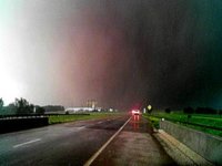
Moving east we positioned ourselves right up under the updraft base after encountering a few baseballs trying to hook slice as we had no choice but to get closer. Upon receiving northerlies we retreated back north and stopped just in time to watch the main tornado anchor roughly 200 yards from our previous position.
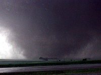
After the tornado anchored east of Bennington, KS, it became a very strong stove pipe as it continued to ride the boundary, ultimately becoming a very long track tornado. The tornado remained on the ground for almost 90min and has been rated as an EF-4 prelim with estimated wind speeds of 180mph. A second attempt to place the INPAR in the direct path was discussed by Dean and Diaz but the tornado shrouded itself (pulling an El Reno) and the angle of approach was canceled. However, at 01:16:10 Dean did place the INPAR on the ground: 38.917797N -97.120953 and recorded a signature at 4.4Hz with an increase in amplitude nearing 27db. It should be noted that the strongest TSF was documented and recorded at 01:21:37 with an increase in amplitude nearing 32db at 6.9Hz.
As of this post date, documentation clearly show 2 separate frequency signatures @ 4.4Hz and 6.9 to 7.2Hz. At roughly 1:23:10 onwards, the frequencies changed dramatically in amplitude and signature. I suspect these changes due to the Doppler effect with regards to our position. Many thanks to Marcus Diaz and @Conor O'Neill for assisting and shooting video as I drove and concentrated on the tornado. Many thanks to Jodi Mair and Jeffery Thornton for assisting with road networks after the cluster and literal fist fight we saw on the county road.
Video link below as we placed the INPAR probe and tried to stay with the supercell.
Last edited:

