Justin Bailey
EF2
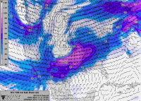
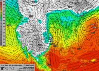
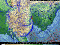
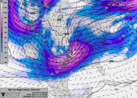
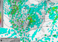
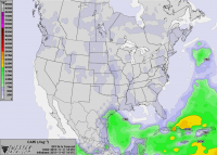
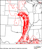
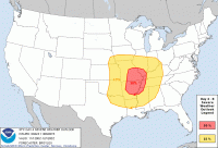
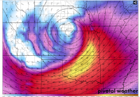
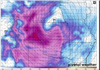
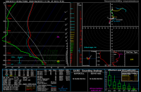
several model runs in a row now have shown a strong storm system moving though the srn plains, mid ms river valley, tn valley, and ohio valley areas next wednesday and thursday. Some understandable uncertainty exists to strenght and timing of this system due to it still being several days away however, what seems to be consistent is that there will be no shortage of moisture and warm temps (very large warm sector), and very strong wind shear (both speed and directional). This thread isnt so much about pinpointing a target area and forcasting this to be a major tornado outbreak or anything of that nature, but is more to discussion of model trends and bringing attention to this late fall system as it approaches.

