Chauncy Schultz
EF0
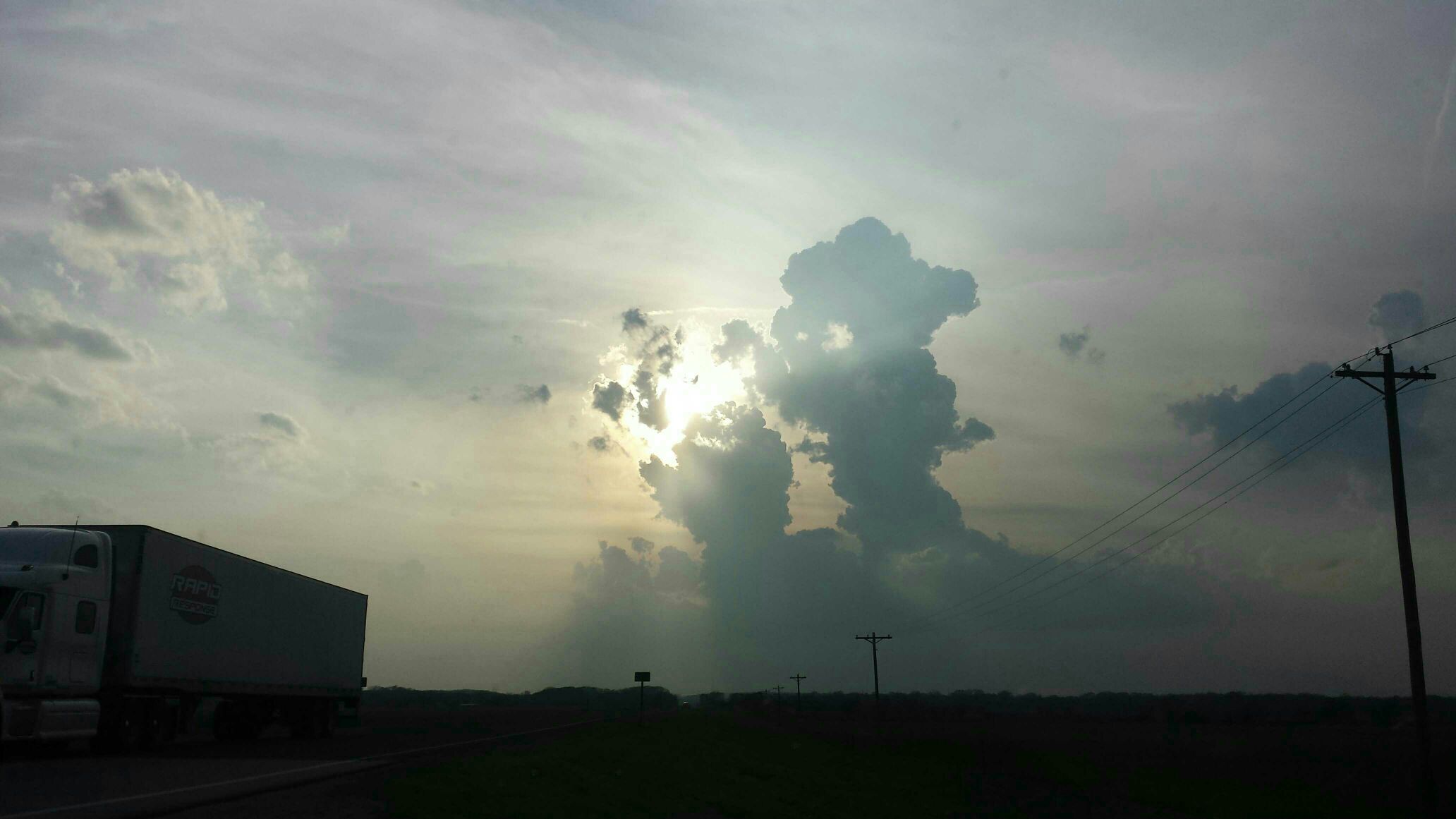
There is certainly some cumulus all along the surface wind shift from near KC back southwest into north central Oklahoma as of 6 p.m. and the SPC mesoanalysis data seems to confirm what earlier-day model-forecast soundings suggested in that MLCIN would be minimized along that corridor by this time. So, it seems like capping at the base of the EML isn't particularly strong right now...but it also seems like forcing for ascent is also rather weak. I often look at 500-MB height tendencies to get a feel for synoptic-scale subsidence and that very often serves as a good proxy for whether surface-based storms will develop in a marginally-forced mesoscale environment like this, and over the last few hours 500-MB heights have been relatively neutral in southeastern Kansas, suggesting the probability of initiation may be somewhat low. There are a bit "better" 500-MB height falls in the KC area per RAP-based data viewed on the SPC mesoanalysis page, and convergence along the wind shift may be a bit better there...so maybe it's that area into west central Missouri that has the relatively greater chance of surface-based development in the next few hours. Recent HRRR simulations key on that, as well as down the line into far northern Oklahoma (like they've been doing), but it seems like something will need to happen in short order for this to turn into something. Composite radar imagery doesn't seem to suggest the cumulus is deepening enough for real updrafts to show themselves yet, so time may be running out before boundary layer cooling starts increasing MLCIN again.


