Brett Roberts
EF5
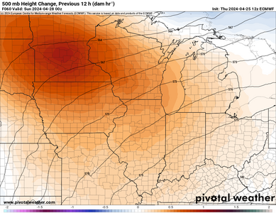
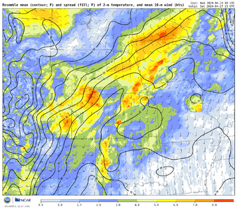
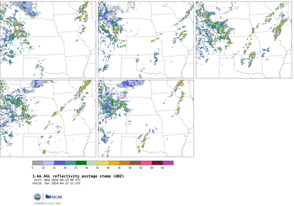
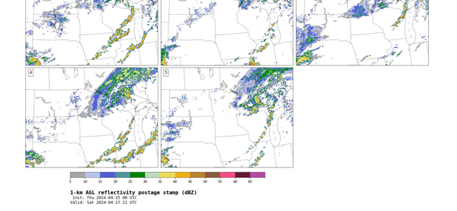
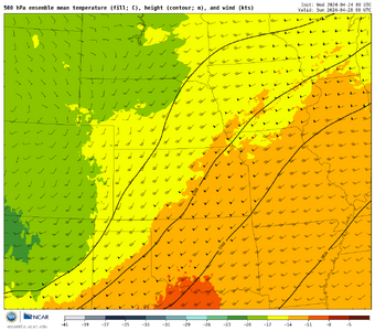
Following an impressive but questionably timed synoptic wave on Thu-Fri, a slightly more compact shortwave is forecast to eject into the southern Plains sometime on Saturday. Given how closely spaced these two systems are, there is still considerable uncertainty regarding all aspects of the second wave (timing, geometry, etc.) -- more so than is perhaps typical at 120-h lead time these days.
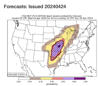
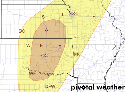
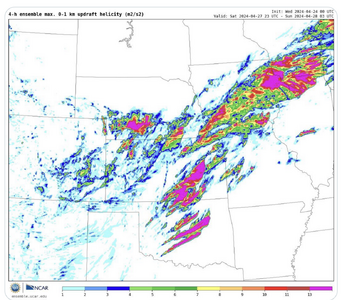
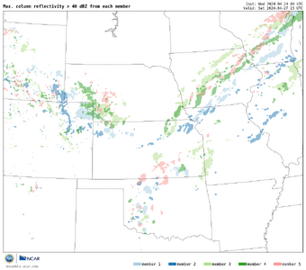
Despite a somewhat wide envelope of NWP solutions right now, I would still say Saturday looks like the most slam dunk tornado setup for the Plains (not necessarily nationally, though) out of the upcoming sequence late this week into the weekend. Although diurnal timing may once again be less than ideal, in this case it's more on the early side: there's a fairly widespread signal for CI by 18z over portions of OK and/or N TX.
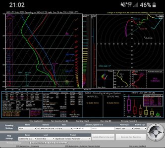
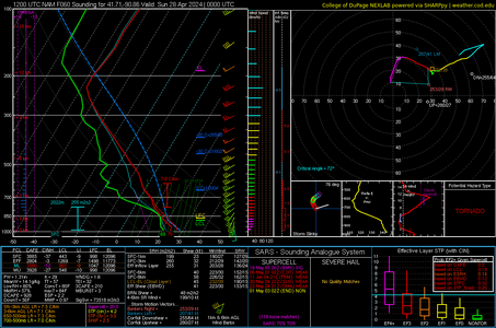
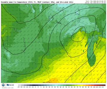
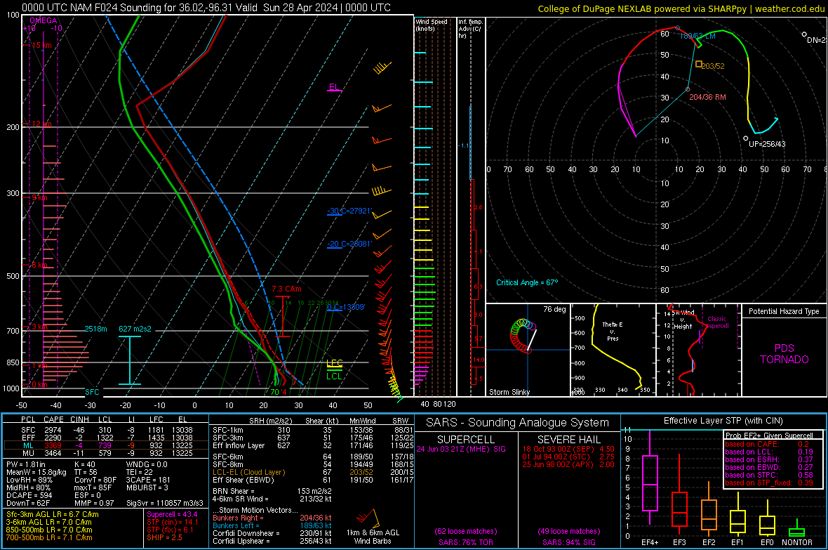
However, to my eye, the potential messiness and early CI of this setup calls into question its chaseability more than its capacity to produce tornado reports. Most guidance currently depicts a compact, negative-tilt shortwave with 60-kt SW flow streaking over a warm sector with a 40-50 kt LLJ by early evening. Unless the overall synoptic evolution changes considerably, at least a handful of tornadoes are virtually guaranteed with that type of setup in late April, whether they're highly visible or not.
From a chasing perspective, I can imagine something vaguely reminiscent of a day like the 2015-05-16 Elmer, OK, event. That is not to say that such an intense, long-lived tornado is guaranteed; I'm talking more about the early, widespread CI, requiring patience and finding the needle in the haystack among lots of junky ongoing storms elsewhere along the dryline. To me, that scenario is sort of the middle ground right now: I can also imagine morning convection being so detrimental that it really kneecaps the whole setup at one extreme, all the way up to and including a significant regional tornado outbreak if the timing slows down and early convection is less problematic than the current median solution (the GDPS, and perhaps UKMET, are closer to this right now).


