treesr4traction
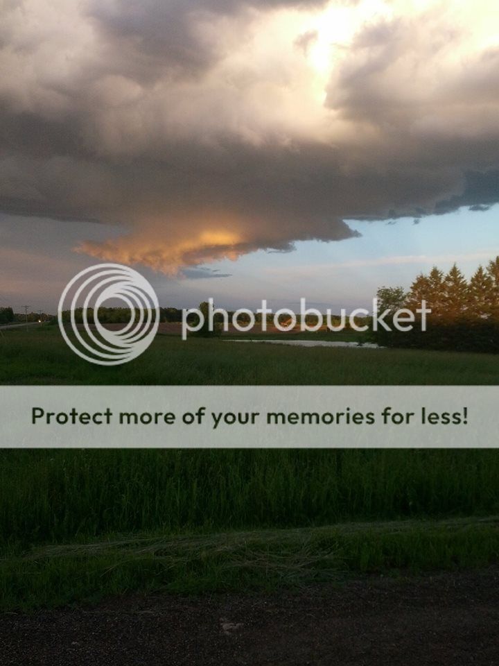
As this being my first season chasing I'm not very experienced in identifying storm structure, especially the difference between a wall cloud and a shelf cloud. As from what I've read, a wall cloud is associated with inflow, and that a shelf cloud is associated with outflow. Is this a wall cloud I saw a couple weeks ago while chasing a discrete supercell in central Minnesota? The cell did dissipate shortly after this photo was taken. A beautiful roll cloud then formed, that I unfortunately did not get a picture of.


Last edited by a moderator: