Ryan Toemmes
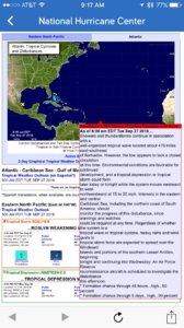
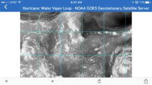
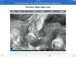
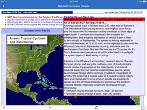
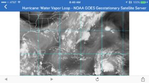
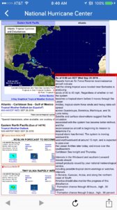
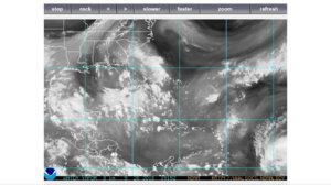
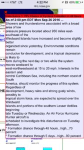
Area of organized storm activity increasing 900 miles due east of the Windward islands of the Caribbean...
( 14 ) may form Tuesday Sept 27, 2016
Please stay tuned with NHC / NOAA for updates every 6 hours for updates...
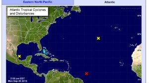
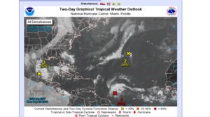
http://www.nhc.noaa.gov
http://www.goes.noaa.gov/HURRLOOPS/huwvloop.html
NHC - Advisory -
Sent from my iPhone using Stormtrack mobile app
( 14 ) may form Tuesday Sept 27, 2016
Please stay tuned with NHC / NOAA for updates every 6 hours for updates...


http://www.nhc.noaa.gov
http://www.goes.noaa.gov/HURRLOOPS/huwvloop.html
NHC - Advisory -

Sent from my iPhone using Stormtrack mobile app


