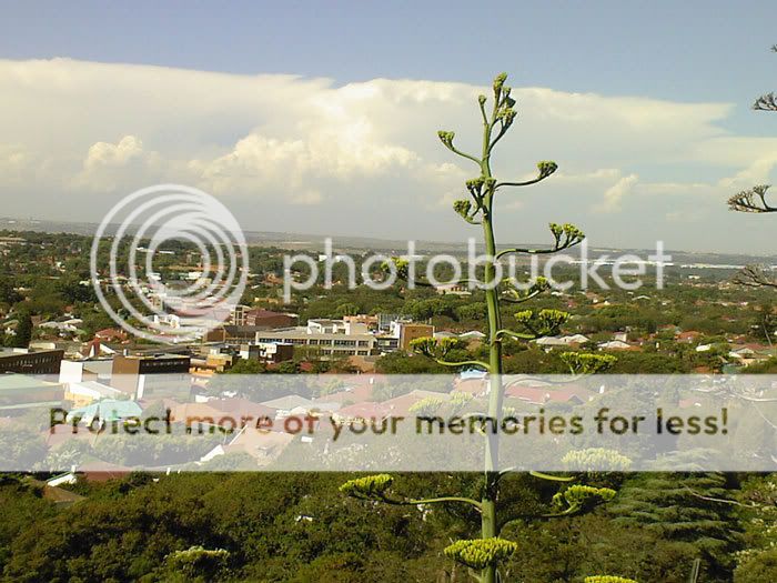
South African summer

Joined
Jun 12, 2004
Messages
191
Location
Athens, OH
After missing out on this season in the USA, where april/march was may and May was horrible, I find myself in South Africa for three weeks. Summertime here, as the plane came in I saw some nice towers and a classic anvil. No rotation though just huge towers. Seeing them reminded me.. OH YEAH tornado chasing.

Does anyone have any good resources or web pages on South Africa tornado action ?

Seems like my timing is right. I am here for work but I have some time to run around.

The ocean influence is not as warm as our gulf, actually rather cold.

I found one map of frequency and occurances.

Hoping to get lucky. I need to find a good radar site. I wonder how the car rental company here treats hail damage !?!

--
Tom Hanlon
 
realtime radar, satellite, dewpoints, temps and winds:
http://metsys.weathersa.co.za/

local forecast models:
http://www.cpc.ncep.noaa.gov/products/african_desk/swdfp/day0/00/

drylines:
http://aviation.weathersa.co.za/dewtempbw.gif

temp boundaries:
http://aviation.weathersa.co.za/airtempbw.gif

November has been stormy almost every day where I am, but nothing really seriously rotating thus far. The Kwazulu escarpment has had a few supers with tornadoes though these past few weeks, but it's a different setup there. Up here it can change pretty quickly, December is always good as well. Attached is a pic of this very evenings storms, non-rotating alas. Typical of what's been happening...

Photo-0019_000.jpg
 
Thanks for the tips.

Wow, what a dynamic weather situation.

Those maps show quite a differential in both temp and moisture.

Almost chilly down here in Cape Town tonight. Looks like the action , judging by december lightning strike data, is in the Eastern interior. Is that what you mean by the kwa-zulu escarpment ?

Is the action to the east of that or up over it ? Good ole upslope action.

I am assuming that down here on the cape nothing will happen. I will be in Durban next week and I have the week after that to travel. I will head interior from the east and see the sights and hope to see some storms.

As tornado action in Africa goes it looks like that corner of South Africa is the place.

Thanks for the info.

--
Tom Hanlon
 
You won't get anything in Cape Town. You need to be just inland of Durban, around the Pietermaritzburg area on about the 800 meter level. The prevailing NE low level jet off the Indian Ocean goes upslope. When troughs come up the coast, the SW winds back right into this and you get big sheared storms starting. There was a supercell (BWER on radar) near a here on Saturday for example. Watch the realtime METAR coastal winds to see where the fronts are at. You'll need to spot the boundary, it'll be blowing from the SW in the S, and from the NE in the N.

On the flat highveld plateau to the north it's similar, but with a dryline trigger instead of upslope. Here the LLJ comes down from the north instead, from Equitorial Africa.
 
You won't get anything in Cape Town. You need to be just inland of Durban, around the Pietermaritzburg area on about the 800 meter level. The prevailing NE low level jet off the Indian Ocean goes upslope. When troughs come up the coast, the SW winds back right into this

Well then!!!

With that excellent information i now plan to camp out right in that location.

I hope to get lucky...

Thanks for the excellent data

--
Tom
 
Happy hunting Tom but be aware that parts of SA, while beautiful, can appear deceptively peaceful. There are bandits in them there hills and while Kwazulu Natal is nowhere as bad as it was during early 90's it will be best to take care. A lot of armed, very poor and sometimes brutalised people live in these rural areas. Lots of very good guys too of course!

Take care and camp in designated places etc. If you go to Durban watch ourself when walking in the town as well. Noentheless enjoy and go up into the Drakensburg if you get the chance.
 
Well then!!!

With that excellent information i now plan to camp out right in that location.

I hope to get lucky...

Thanks for the excellent data

--
Tom

Yep the entire area from Kokstad to Pietermaritzburg is excellent at this time of the year for big storms. I am going to be there from 19th on holiday, so let know if you're still there.

As far as the bandits go, it's not that bad, but be wary, it does get a bit more hairy beyond Kokstad to the south, as it's very remote there. And then into the Valley of a thousand hills area as well to the NE. I would never go to those parts at night. Stick to main tar roads and decent farms roads. Dont go down rough bush tracks. Otherwise its an incredibly beautiful part of the world with big storms as well. If you get lost, just ask for help from local farmers, avoid groups of young Zulu blokes who eye you out(sorry, but that's reality). MOst of them are great people otherwise.
 
Thanks all for the tips.

I will watch myself and be careful.

I will be leaving on the 21'st of December.

I will probably spend my last few days in Pretoria or j burg since my flight leaves from there. I will have good internet until the 16'th of december. After that.. who knows, I will try and instant message any stormchasers who have posted on this thread, if i am still in the area any later than that.

Rural areas with crime are a strange thing.

Best wishes.
 
Large Hail across Kwazulu-Natal yesterday December 10, 2006.

I was unable to get away from the coast for yesterdays storms. looking at the paper it looks like a seriously destructive hailer. 700 people left homeless due to the storms.

I do not have enough experience here to know wether that ia s big event or not.

--
Tom Hanlon
 
Yes, a lot of golfball hail, flash flooding and straightline from latest reports. No sign of tornadoes, but some people are checking up on this. The radar was showing big stuff around the Swaziland area yesterday, but not strong rotation. I've attached a combined radar,IR sat image of the action. Much of it was in quite remote areas where there no roads.

Looking ahead you've got a big front coming in Thurs and Fri. CAPE in excess of 3000. Cant tell the wind dynamics yet, but there'll be supercells for sure if it holds. I'll give you a forecast on thurs morning if you want, and tell you where you need to be?

I'll be down there from this Sunday. I am keen to do some chasing if you're interested and anything is happening. My cell is 072 4425287.

Mungo

imagesat.jpg
 
Last edited by a moderator:
Back
Top