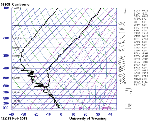
Hi Steve, that's a great question. Keep in mind that the majority of the storm structure exists from about 2000 ft on up to 40,000 ft or more. So one way to get a weird storm situation is have a bunch of cold air at the surface, and bring in tons of rich Gulf moisture just above this cold layer, at about 2000-6000 ft above the ground, with cold air above that (above 10,000 ft).
It's not uncommon for this to happen in Texas and Oklahoma during the cold season, but it is rare when it produces tornadoes. One famous situation where this happened was the night of February 21-22, 1975 near Altus, Oklahoma. On that day there was a cold air outbreak in Oklahoma. Gusty north winds, temperatures of 36 degrees, but aloft it was very unstable. Thunderstorms developed and at least six tornadoes touched down around 2 am, one of them F2. Storm Data shows 3 people were killed around the Altus-Mountain View area with 70 injured.
This would have been a pretty scary situation to be in because it's night, it's overcast so you can't see much, and of course there's no good weather data. Since the situation was so unusual I'm not even sure that Gary England was on the TV.
...

