gdlewen
EF4
Yesterday afternoon (12/9/2023), a localized wave cloud pattern briefly formed in the cold air behind the front that passed through Oklahoma overnight. Literally, the only clouds in the sky, as seen in the GOES-16 imagery from COD. There was a clear wave pattern on the water-vapor imagery (not shown), but from above these clouds are quite unremarkable.
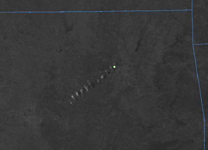
GOES-16 Visible Imagery, 9 Dec 2023 2045Z (College of DuPage)
Camera location approximately at white dot
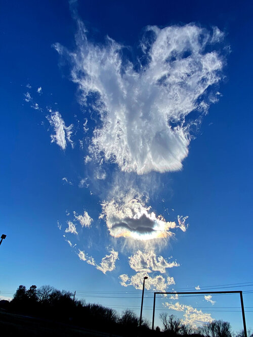
From the ground, however, with the sun behind them, it was definitely another story. The structure of the clouds as they dissipated via evaporation and precipitation provided an interesting show: iridescence and spike-like fall-streaks.
A few minutes later (virtually overhead):
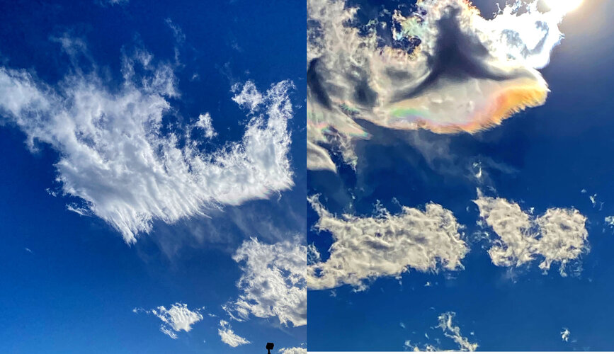

Sperry, OK. 9 Dec 2023 2052Z, Looking SW.

