Jamie H
EF3
Wasn't 100% sure where to post this, but the general weasther buffs might find it interesting!
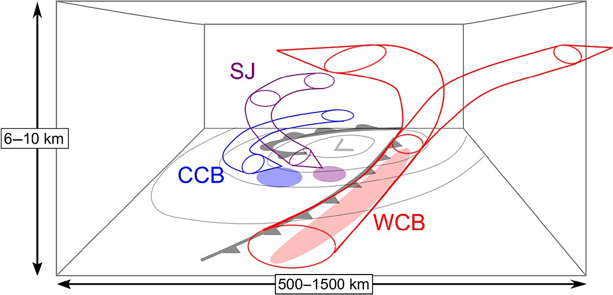
An area of low pressure is undergoing explosive cyclogenesis as it crosses an unusually strong jet stream (as a result of the sharp temperature gradient between the artcic cold and tropical warmth on the east coast of the USA), and is set to move over Ireland and northerm parts of the United Kingdom overnight and through tomorrow.
More information here from the UKMO here, including regarding red 'danger to life' warnings: Red weather warnings issued with damaging winds forecast for Storm Éowyn
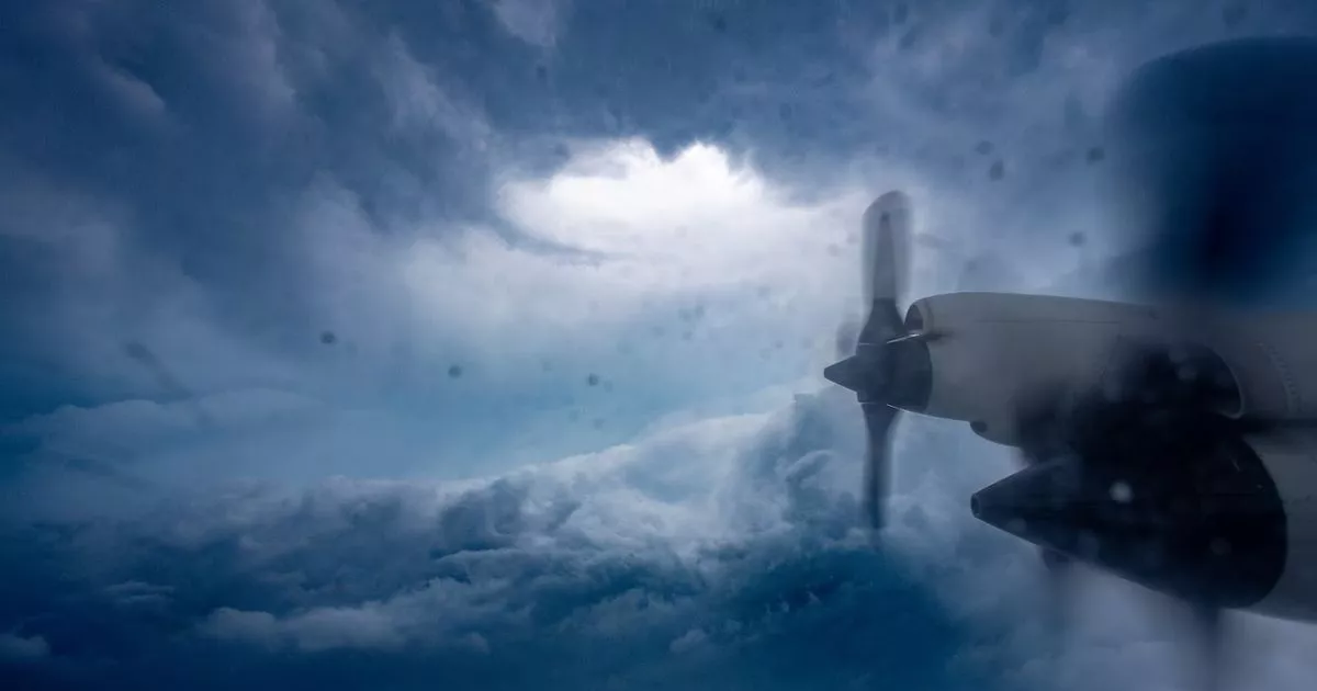
The storm will be so strong that the NOAA Hurricane Hunters have flown to Ireland to record data, with N42RF 'Kermit' tracking what is expected to be the equivalent of a category 2 hurricane.

 www.galwaybeo.ie
Oh and there's another, mercifully weaker storm developing for Sunday evening too!
An area of low pressure is undergoing explosive cyclogenesis as it crosses an unusually strong jet stream (as a result of the sharp temperature gradient between the artcic cold and tropical warmth on the east coast of the USA), and is set to move over Ireland and northerm parts of the United Kingdom overnight and through tomorrow.
More information here from the UKMO here, including regarding red 'danger to life' warnings: Red weather warnings issued with damaging winds forecast for Storm Éowyn
The storm will be so strong that the NOAA Hurricane Hunters have flown to Ireland to record data, with N42RF 'Kermit' tracking what is expected to be the equivalent of a category 2 hurricane.

'Hurricane Hunters plane' flying Irish skies helping with Storm Eowyn warnings
Brave scientists will gather invaluable data from the high tech craft
Oh and there's another, mercifully weaker storm developing for Sunday evening too!


