Looks rather outflowish to me. In the top pic, the arrows point to the direction of the wind: flowing “out” of the storm. In the second pic, the storm appears to be coming toward you, and the cloud structure seems to indicate the winds are “pushing” the clouds in front of the rain in your direction.
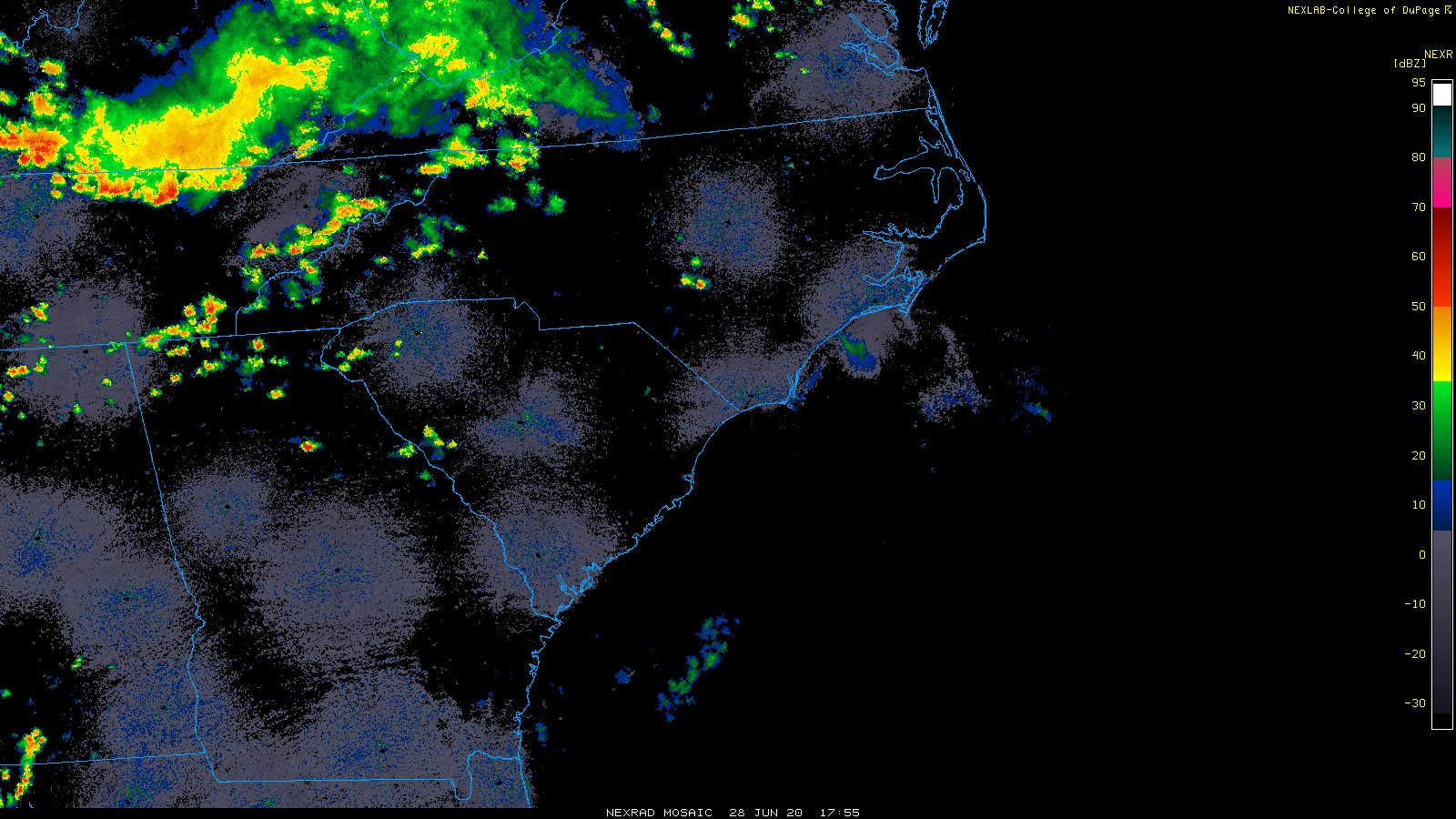
Further evidence? The SPC storm reports pages for 6/28/2020 and 6/29/2020 show only wind reports in the area, especially 6/29.
Severe weather, tornado, thunderstorm, fire weather, storm report, tornado watch, severe thunderstorm watch, mesoscale discussion, convective outlook products from the Storm Prediction Center.
www.spc.noaa.gov
Storm Prediction Center 20200629's Storm Reports
Are you sure it wasn’t the 29th?
What structures are you seeing that make you think it looks supercellular?
I feel that I’m not seeing the whole storm, so there may be some context that I am missing.
I would not consider myself an expert, so I’m hoping someone with more experience will come behind me and confirm if what I’ve stated is correct
View attachment 21217View attachment 21218