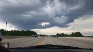
Can anybody explain what's going on in these clouds?

S Geyer

Enthusiast
Joined
Mar 11, 2017
Messages
8
Location
Northwest Arkansas
Some storms fired up unexpectedly over my home area. The storms were moving NNW and I was driving north when I saw this 1496360686107.jpg
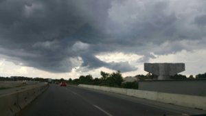
I took the next exit and got this picture looking west. 1496360933010.jpg
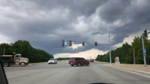
I'm just curious if this is a common sight, or if there's a simple explanation to what's going on.
And a couple extra for reference
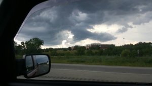
1496361007072.jpg1496361041199.jpg
 
The right edge on the first pic seems to suggest an arcus front of an outflow boundary. The darker triangular cloud in the the middle of the top pic I would guess might be from localized forcing. Almost looks laminar bell-like. This laminar, non-bumpy look of cumulus, is caused by the forcing of air up in stable air. Which would likely be the case behind the gust front.
Clouds behind a gust front of a rain core can look very mean and scalloped. Like inside a whale's mouth? It's often very cold, well colder, and close to saturation. So you can get fake wall cloud piles and whatnot behind these.
Now if this arcus gust front wraps into something more circular up north or NE, then it may well be the arcus of an RFD flung around the meso.
 
Thanks for the explanation. This was around 4 in the afternoon, and I just happened to get off work in time to catch a glimpse. I decided to ride with it for a while longer and around 5 a whales mouth came together, so there was definitely cold air. Nothing extraordinary happened, but it made for a couple good pictures.
 
Back
Top