Scott Olson
EF5
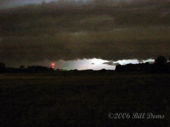
Pete McConnell and I headed out for Devils Lake ND early yesterday morning. By 6pm we were starting to get a bit discouraged seeing the convection further SW and an up and down attempt at a cumulus field in our area. Seeing that the CINH had been removed for several hours and that a decent storm existed 90mi to our SW, we decided to quickly move to intercept. The storm structure started becoming clear at 8:10pm and the first thing we saw was a nearly fully extended funnel cloud that quickly dissipated (did not see any surface circulation) . During this time both visual and radar observations showed that the storm was transitioning from a Classic Supercell to HP. We watched this storm for about twenty minutes as it barelled towards us, the first ten minutes featuring some rotation and nice structure.
Another storm that we noticed about 8mi to our SW briefly had a liberty bell appearance, with either scud or funnel clouds coming down from it (poor visibility). We headed SE and got to witness a beautiful double rainbow against the sun soaked back of a storm. We called the chase off at a little after 10 and started the journey home on the backroads of south central North Dakota.
Nice chasing with ya Pete!
Some Pics: