6/11/06 REPORTS: CO, WY, NE

Joined
Mar 2, 2004
Messages
2,381
Location
Northern Colorado
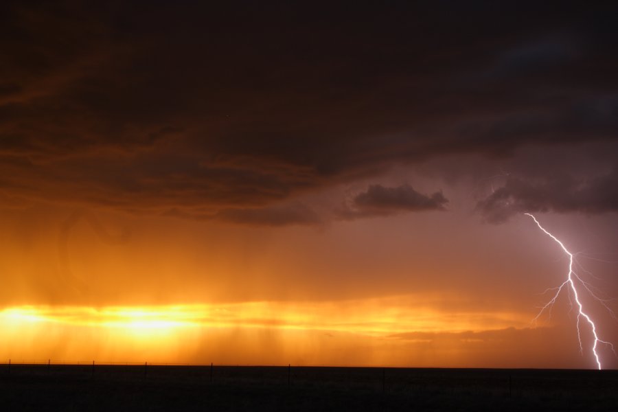
Jon Van de Grift, Verne Carlson, and myself enjoyed a rather casual chasing day in our backyards which will finish right around 300 miles to push me over a grand for the last two days. Yesterday was definately the Colorado day of the weekend as today's storms were moving so slowly that they never had a chance to move into the better air out east. My forecast verified as storms did develop over the foothills and move onto the Plains along I-76 where we picked up our first storms in Hudson. Penny-sized hail was about all we saw and we did see a ton of it as it came down in buckets with the extremely heavy rain. We toured around Jeff P, Sean M, and company as we danced around the storms between Hudson and Brush. Our group then split as Jon and I jumped south towards Last Chance for our last chance at the line as it pushed through, giving off a helluva lightning show as it weakened. We stopped to shoot on Hwy 36 west of Last Chance, but rain and the frequency of lightning prevented us from getting any great shots. It was a crazy show as the lightning was flashing north, east, and south of us in a neary constant string. We're on I-70 now at E-470 getting into town where we'll head home for the night. So nice to be in our own backyard!

060611a.jpg

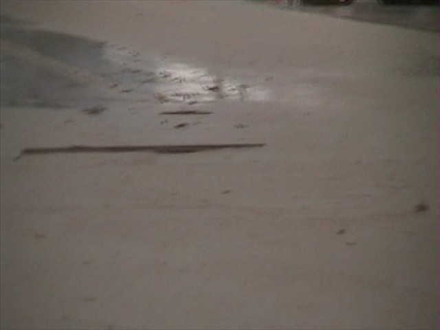
Accumulating hail of up to penny-sized on CO-52 east of Hudson.

060611b.jpg

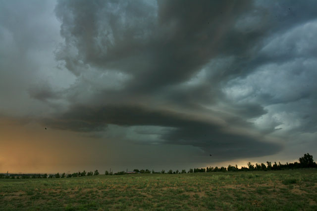
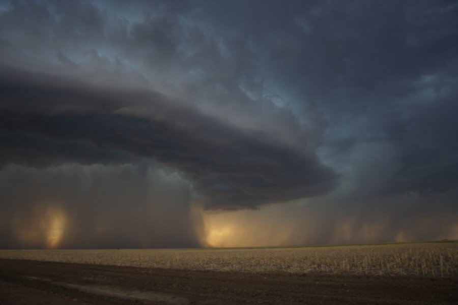
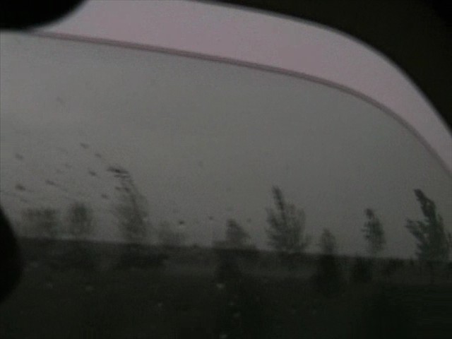
The storm never really got organized as it slowly moved east out of the Metro area.

060611d.jpg

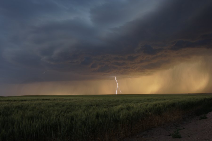
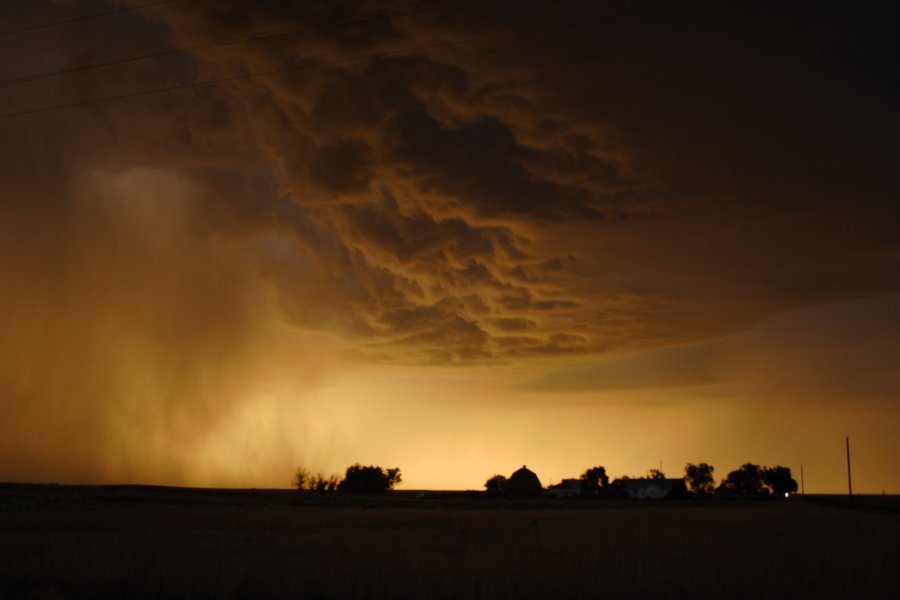
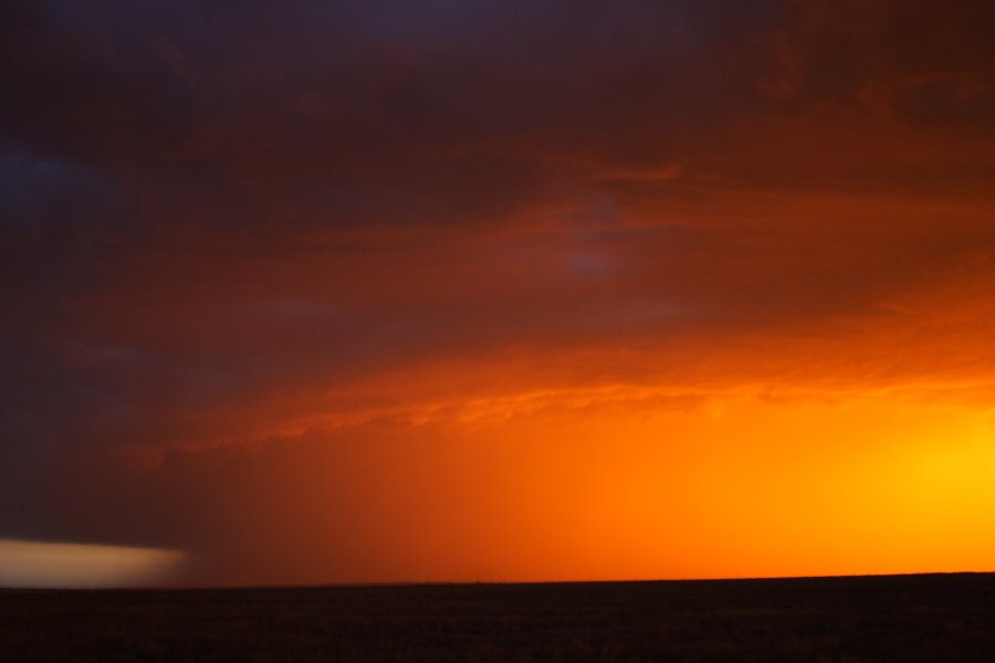
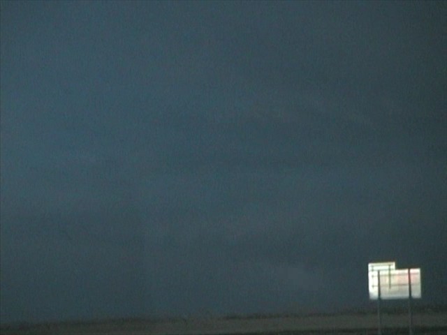
The squall at sunset looking west from Woodrow; the storms still hadn't crossed CO-71

060611c.jpg

The picture which sums up 2006; it went to the dogs.
 
Waited... and waited... and WAITED in Ft. Morgan for this storm to come over, and apparently the steering current at 500 never showed up. I"m sure that was all the storm was missing, as SEly SFC winds were great all afternoon. The interaction with the SFC boundary never really happened. Nice lightning, and some sunset mammatus over Denver, but that's about it.

After getting back to Denver, saw there was a nice storm with a huge hook at one point on the NE/WY border just N of I-80; anyone get on that?
 
We were on the storm just NE of Denver that never got it's act together. Punched the cell from the north later in the afternoon and got ahead of the forming line that was severe warned. A great lightning show for sure. Managed to pulled off some decent structure shots just before sunset.

Photos and chase account here

http://www.floridalightning.com/Midwest_2006.html at the bottom of the page.


------------------------
Martin Kucera
FloridaLightning.com
 
I made the long drive from OKC to Morgan County CO just in time to watch the linear junkus near DEN trek ever so slowly eastward. ThreatNet was tempting me to blast another two hours north to the BFF beauty, but it knew it was hopeless as the storm would have morphed into something totally different by the time I got there...so I just had to be patient and hope the storms to my west would get better organized as they tapped into better moisture. Eventually a storm did take on some decent base structure on the northern end of the line near Brush! Photos and summary here:

http://www.stormeffects.com/recent_events.htm


061106-BrushCo4.jpg
 
Given the constraints of being in Dallas tomorrow evening, I made the boundary of not crossing the border. So ours was a bust given I thought supercells would develop and move into moisture in NE Colorado. However, there were some pretty impressive scenes that entertained my friends and I. Here are some of the photographs from this afternoon and evening.

0611jd26.jpg


0611jd30.jpg


0611jd34.jpg


0611jd44.jpg


0611jd54.jpg


Regards,

Jimmy Deguara
 
The storm had some nice straight-line winds with it. I made a mistake by going up to wiggins on 70 hoping storms would fire near the CO-NE border, but it soon became obvious with such a lack of moisture that no such thing was going to happen. The only action was the storm moving ESE while i was moving NE. So, i decided at wiggins i i would go south on hwy 52 into hoyt. I got some shots of some serious flooding going on in some town. There was like whole yards underwater, with debris such as boards and tree limbs in the streets with moving water over the highway. There was muddy dirt roads partially washed away from flash flooding and bent trees from some heavy winds.
b43180112.jpg

b43179419.jpg

I continued following it for some time down some roads east, and followed it into the night past anton on 36...It produced a wicked lightning show, and some larger hail. My first night-chase...You can even see some okay structure if you look hard enough in this shot...
b43180287.jpg


Also, i know this is a late post...But if anyone sees this. What is this thing? It was from a small storm behind the main storm everyone was on. Take a look at this thing...Looked kind of like a tornado to me...I wasnt sure of what it was so i captured it on video for the experts. Figured it was a smoke plume, or something beneath some condensation...but look...drop me a PM, and tell me what it is. Looks possible on the video...
z43179238.jpg


Heres a video sped up a few times its normal rate...
The video... (scroll down to download)
 
Back
Top